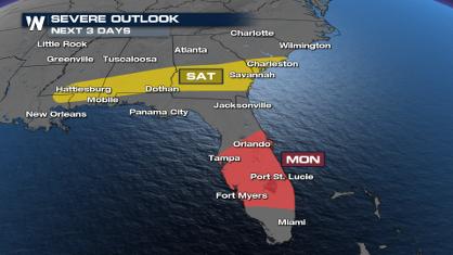
Saturday Features a Few Storms in the Southeast
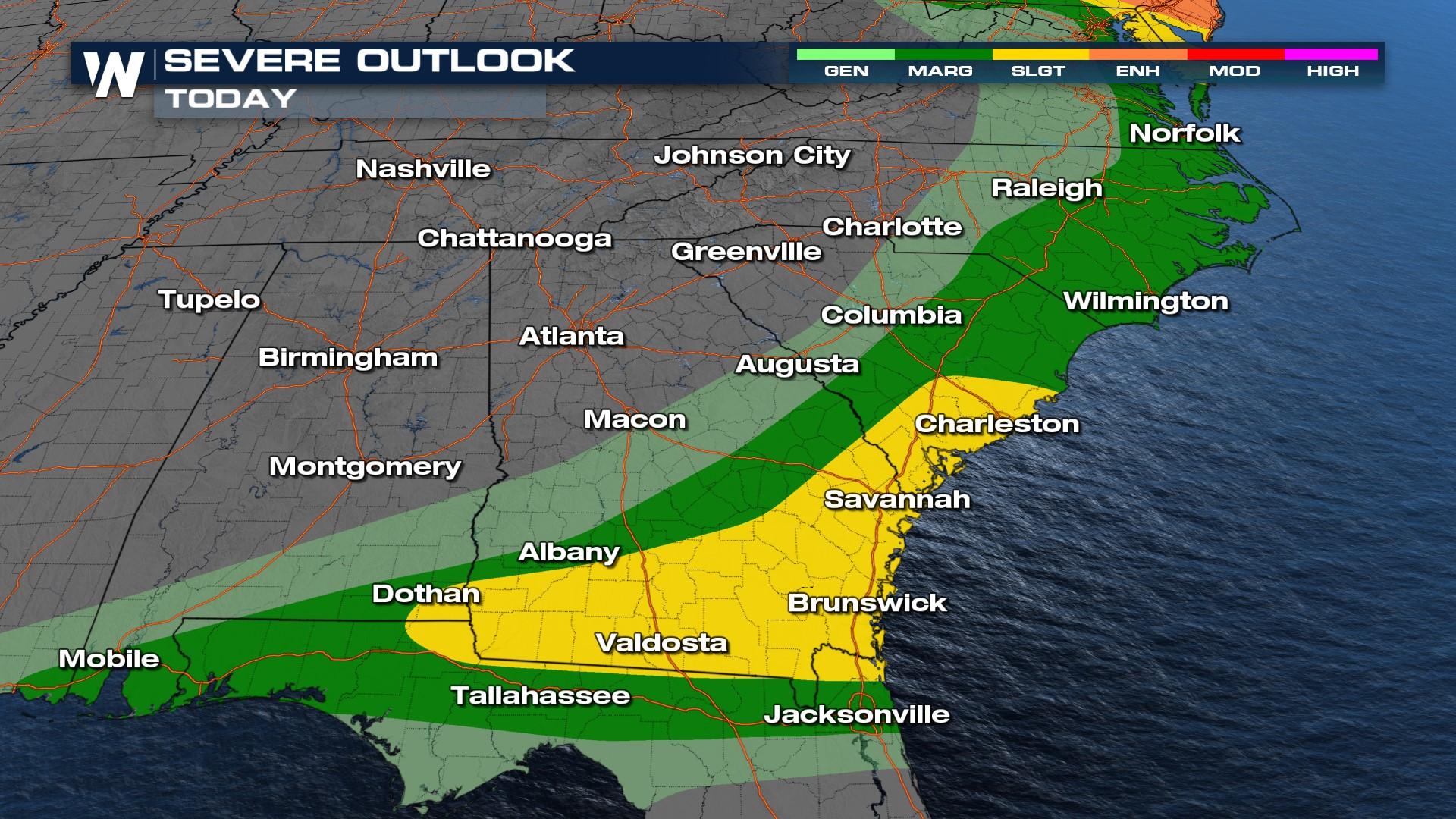
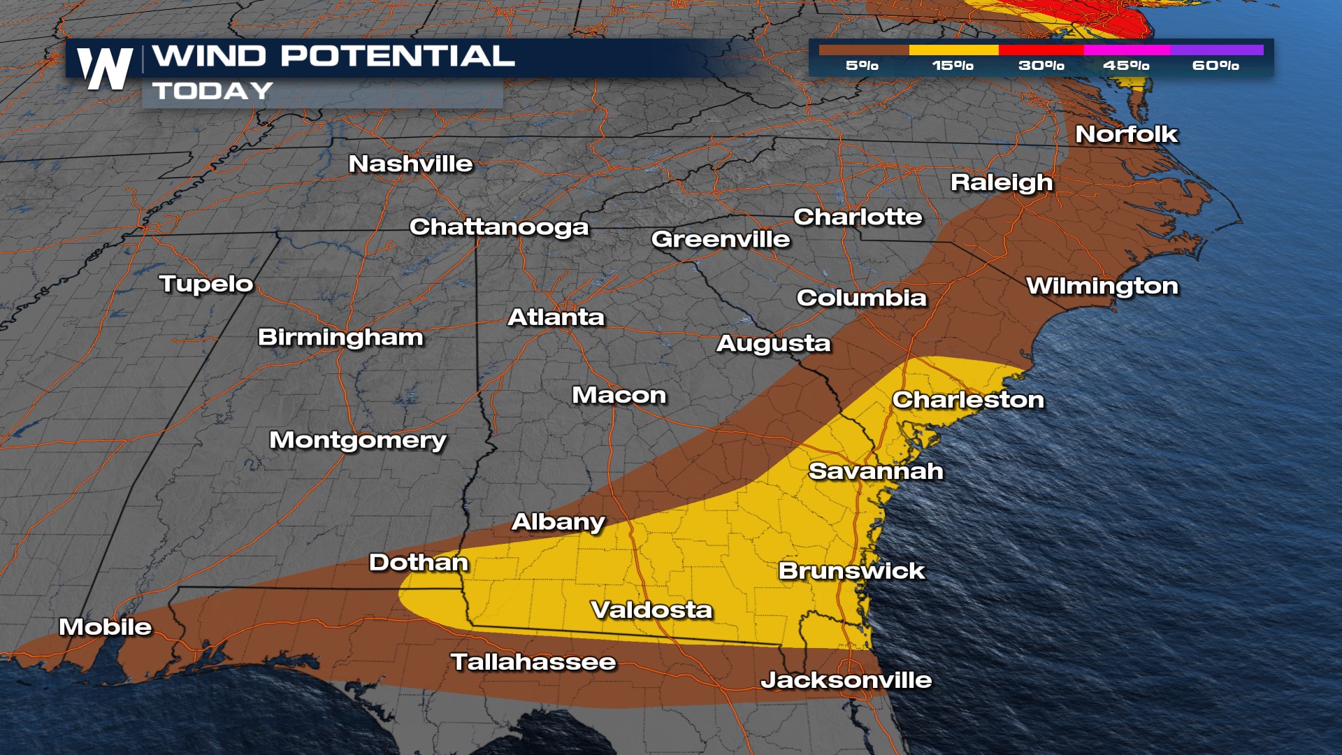
The same front that brought widespread storms to the southern Plains is moving into the Southeast. The Storm Prediction Center (SPC) has issued a SLIGHT risk for southeast Alabama, south Georgia, and South Carolina. The primary threat will be damaging winds.
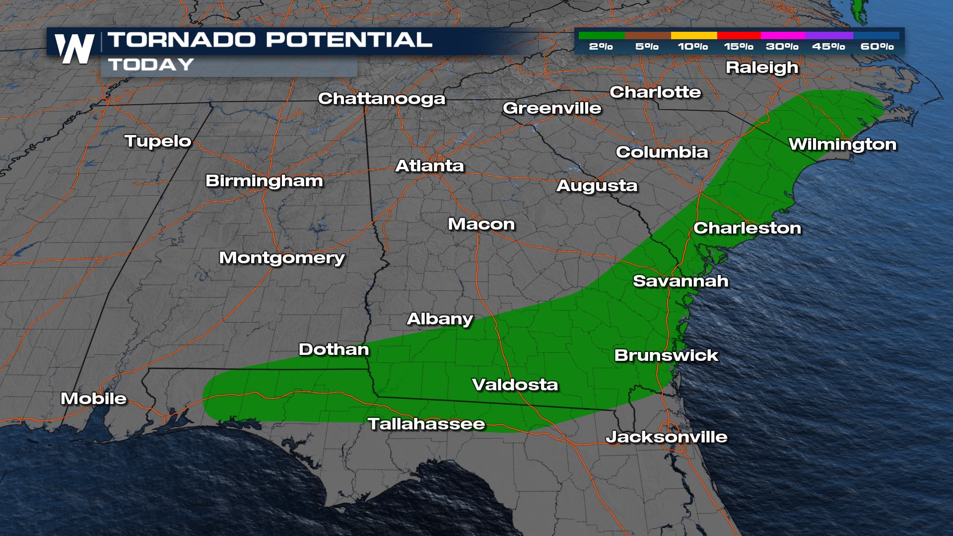
An isolated tornado cannot be ruled out, given the shear and spin in the atmosphere.
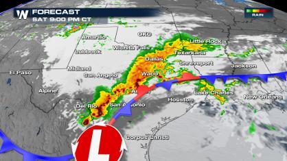
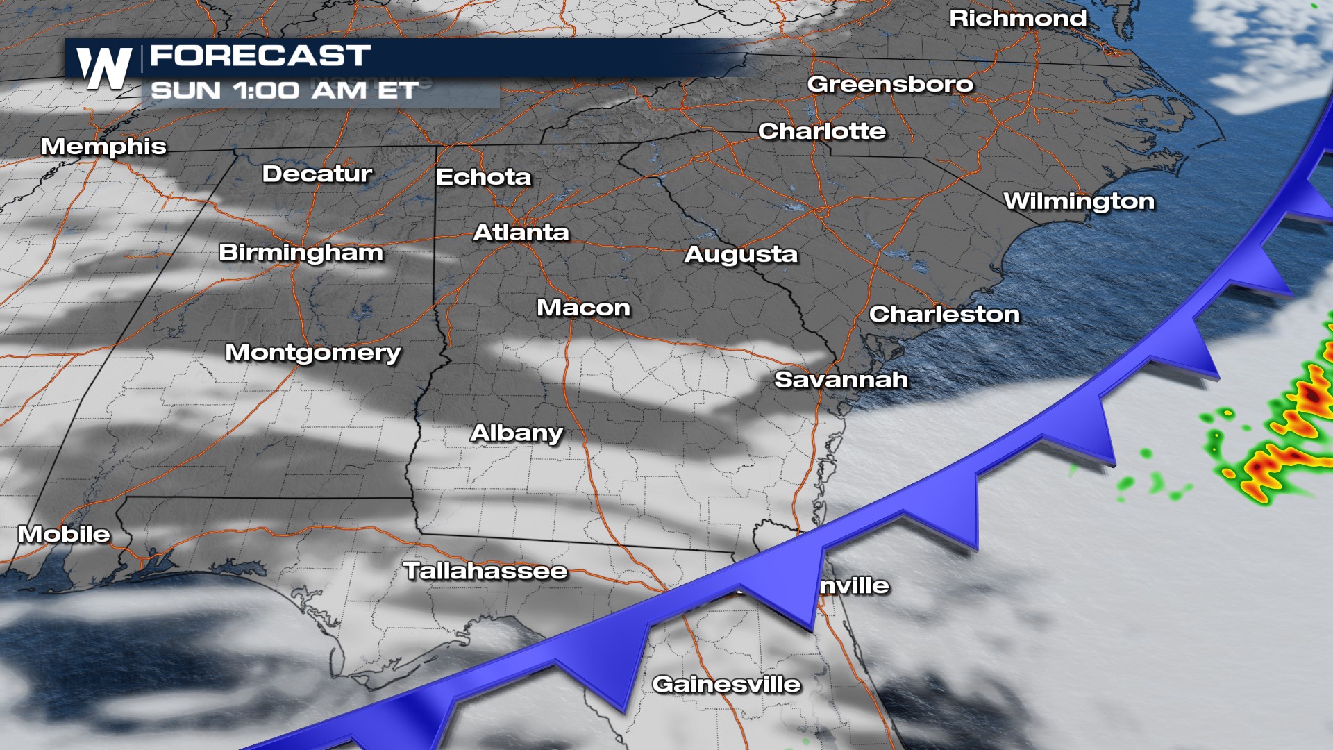
This is a fairly fast moving system, so we anticipate storms to be off the coast around dinner time on Saturday.
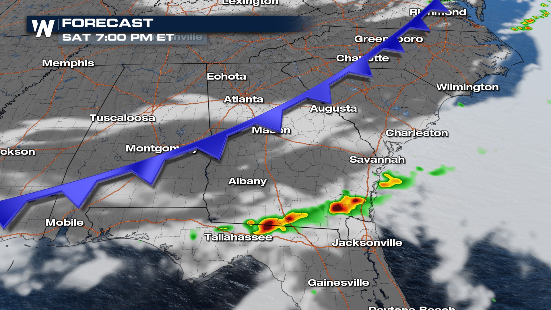
These thunderstorms won't last overnight so you may rest a little easier knowing there isn't a high risk of overnight severe weather.
Rainfall accumulations will be generally light - in the range of 1" through the South. Because storms are moving quickly, we won't have the potential for repeated rounds of rainfall, or "training" of storms. Isolated flooding is possible across southern Alabama, Georgia, and in the Florida Panhandle.
Stay with WeatherNation for the latest in the severe weather potential and rain chances in the South. Your Southeast regional forecast is always :10 past the hour.