Severe Weather Possible in the High Plains and Upper Midwest
Special Stories
11 Sep 2018 10:58 AM
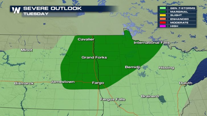
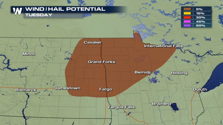 Severe weather is possible in North Dakota and Minnesota as a cold front moves in from Canada. There will be a possibility of seeing damaging winds around 58 mph and hail up to an inch in diameter. The good news is that there is no tornado risk for today!
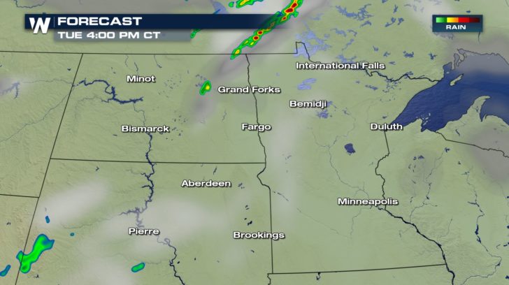
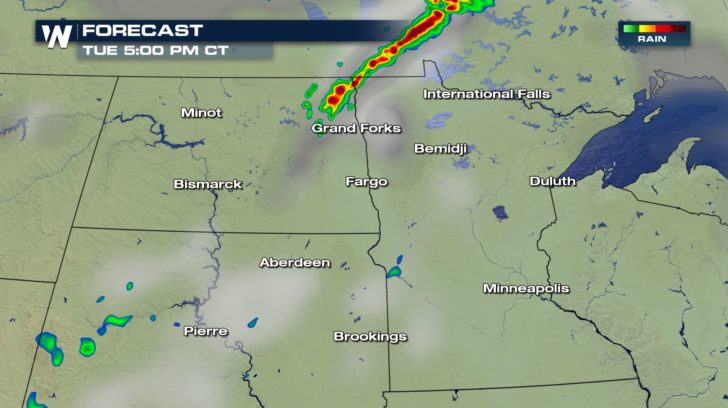
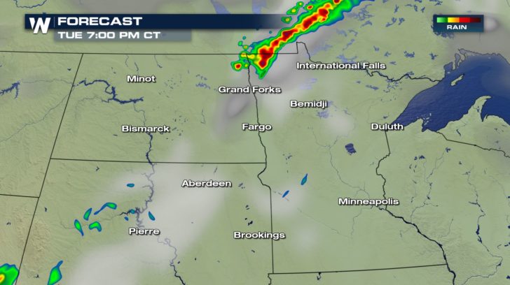 Storms will be short-lived. They will start up around 4 P.M and continue to around 8 P.M before gradually dissipating. Nonetheless, stay weather aware throughout those hours due to the chance of seeing damaging winds and hail.
All Weather News
More
Weekend Forecast: More Severe Weather in the Plains
We are looking at the threat of another sever
25 Apr 2024 1:20 AM

Record Warmth to Weekend Snow in the Four Corners
Snow is in the forecast for Denver, which cou
25 Apr 2024 1:20 AM
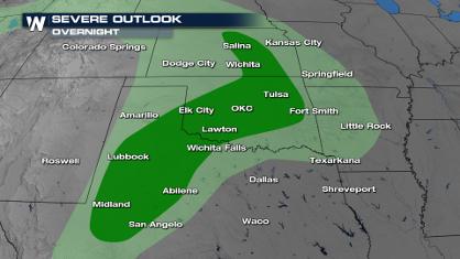
Overnight Storms in Texas and Oklahoma
The plains are experiencing an ongoing threat
25 Apr 2024 1:10 AM
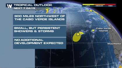
Tropical Update: Early Area of Interest in the Atlantic
The National Hurricane Center has issued a tr
25 Apr 2024 12:30 AM

National Park Week: Get Out and Explore
National Park Week started Saturday, April 20
25 Apr 2024 12:20 AM

NOAA Debuts "HeatRisk" Tool Nationwide
More people die from heat every year than ALL
24 Apr 2024 7:40 PM