Flooding Threat Continues from the Mississippi River to the Red River of the South

Special Stories
5 Sep 2018 1:40 PM
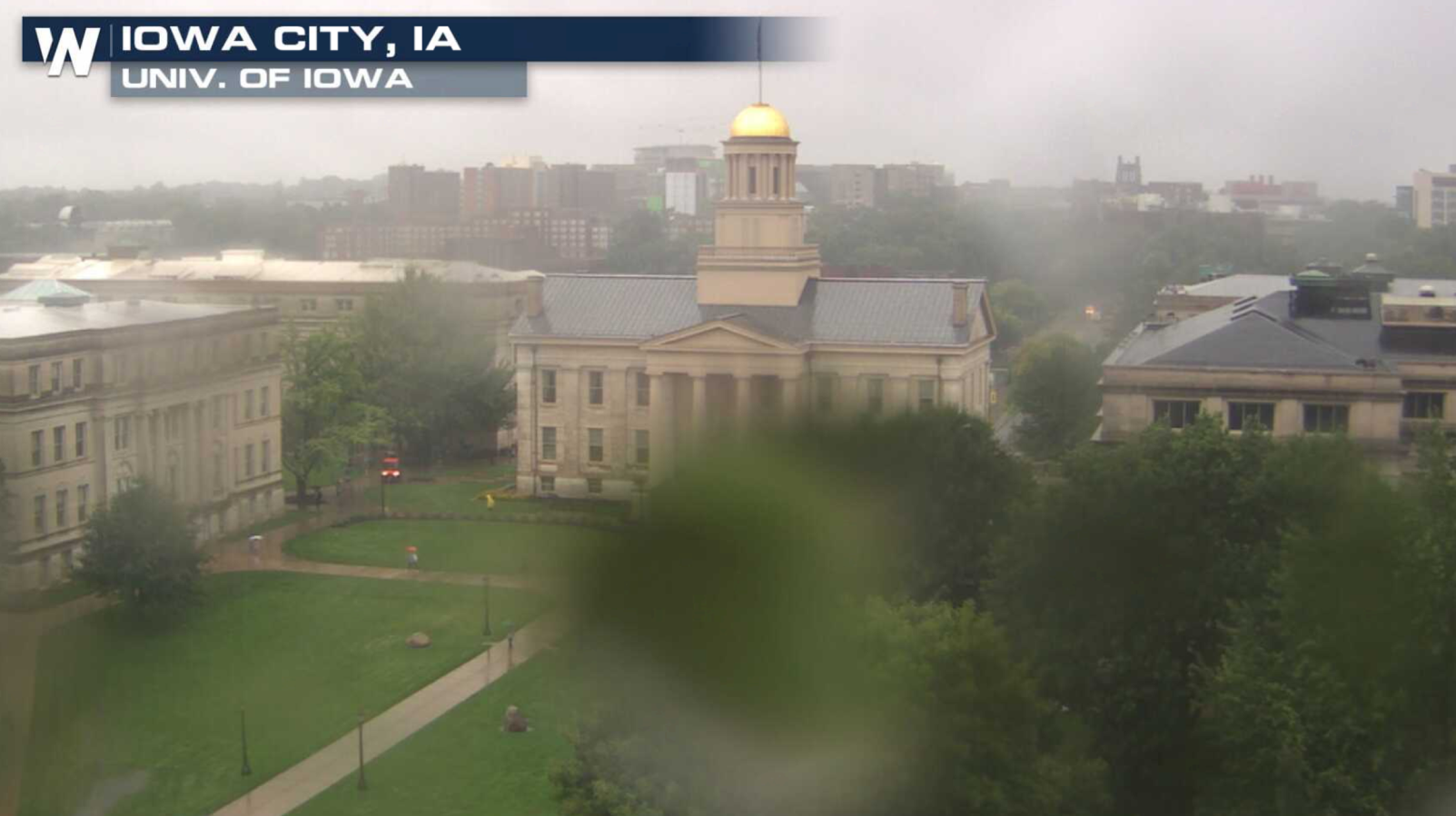
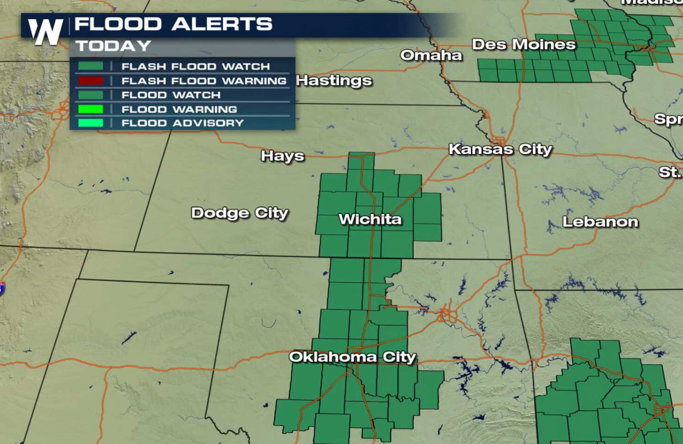
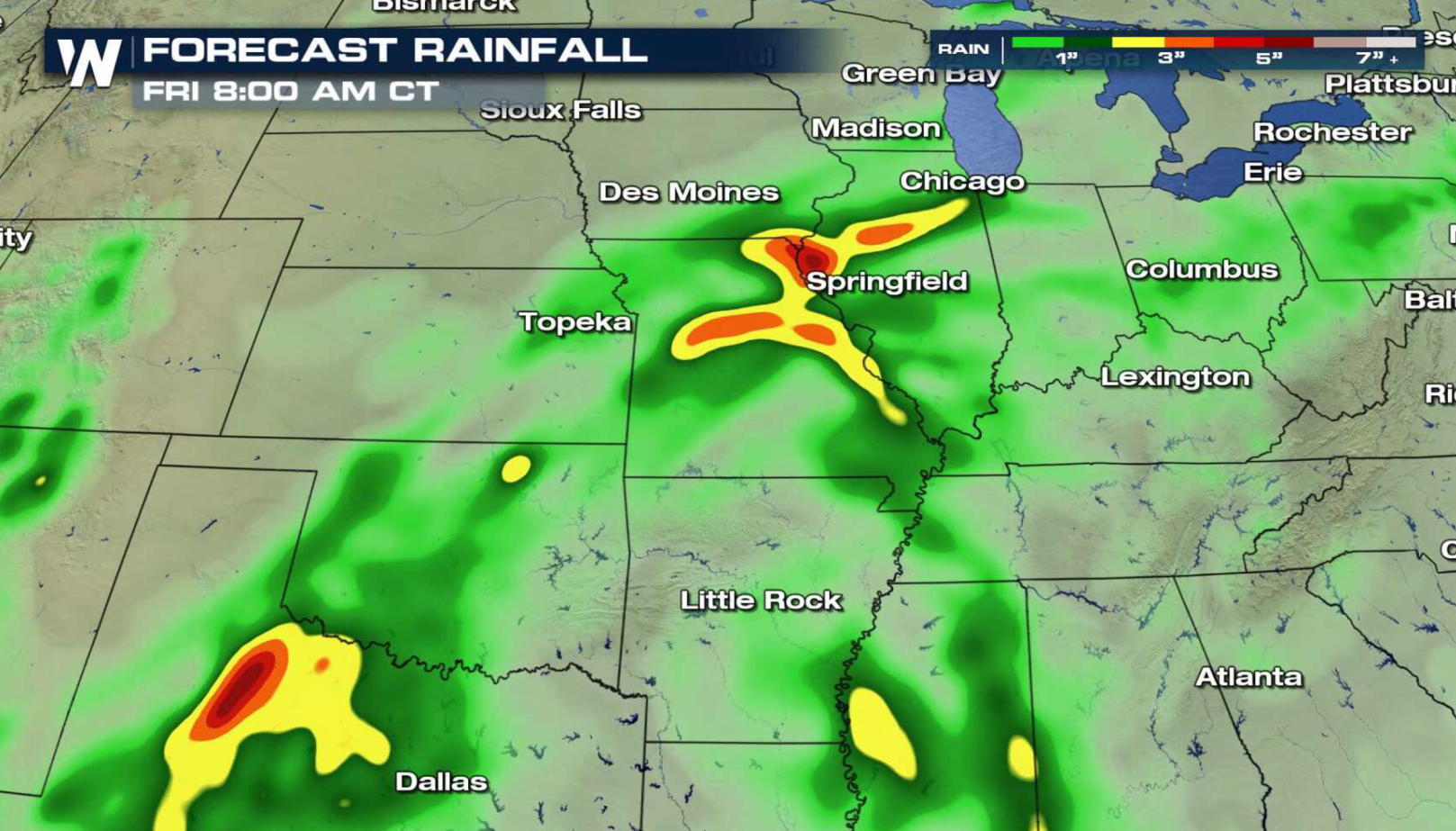
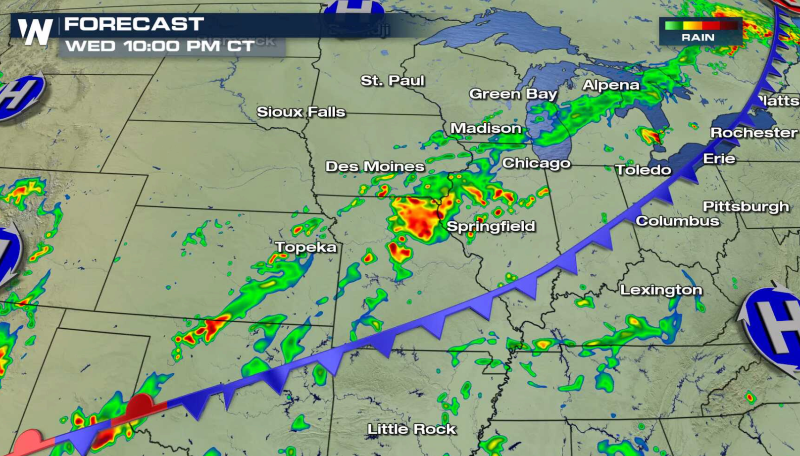
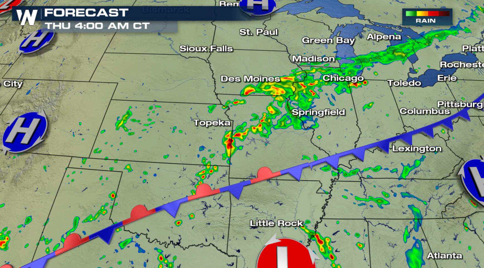
A slow moving storm system continues to bring heavy rain from the Mississippi River, through the Plains, to the Red River of the South. Flash Flood Watches remain in effect from Illinois to Oklahoma. Several inches of rain is likely, with isolated areas possibly seeing as much as 6" of rain.
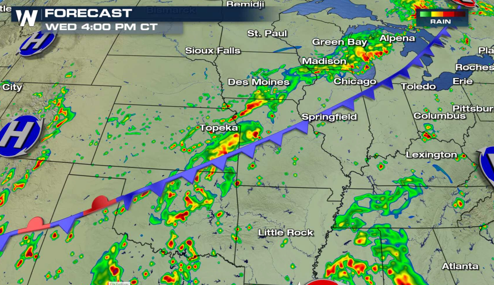
 A cold front is stretched out from the Great Lakes to the southern Plains with high humidity streaming along it. With the tropical air present, showers and thunderstorms are able to produce high rainfall totals in a short amount of time. With the overall wind pattern light, storms move slowly and track over similar areas repeatedly, leading to the flooding threat. Over saturated souls further exacerbate the situation.
 For WeatherNation: Meteorologist Mace Michaels
A cold front is stretched out from the Great Lakes to the southern Plains with high humidity streaming along it. With the tropical air present, showers and thunderstorms are able to produce high rainfall totals in a short amount of time. With the overall wind pattern light, storms move slowly and track over similar areas repeatedly, leading to the flooding threat. Over saturated souls further exacerbate the situation.
For WeatherNation: Meteorologist Mace MichaelsAll Weather News
More
Significant Storm Threat Today, Friday
The spring season often means rounds of stron
25 Apr 2024 5:55 PM
Weekend Forecast: More Severe Weather
We are looking at the threat of another sever
25 Apr 2024 5:50 PM
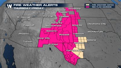
Critical Fire Risk in West Texas, New Mexico
A critical fire risk is in place for west Tex
25 Apr 2024 5:45 PM

National Park Week: Get Out and Explore
National Park Week started Saturday, April 20
25 Apr 2024 1:45 PM

NOAA Debuts "HeatRisk" Tool Nationwide
More people die from heat every year than ALL
25 Apr 2024 1:35 PM

Double Trouble: Cicadas Take to the Skies this Spring
It’s the soundtrack to the summer. Nature’s n
25 Apr 2024 1:25 PM

Record Warmth to Weekend Snow in the Four Corners
Snow is in the forecast for Denver, which cou
25 Apr 2024 1:20 AM