More Activity Churning in the Eastern Pacific

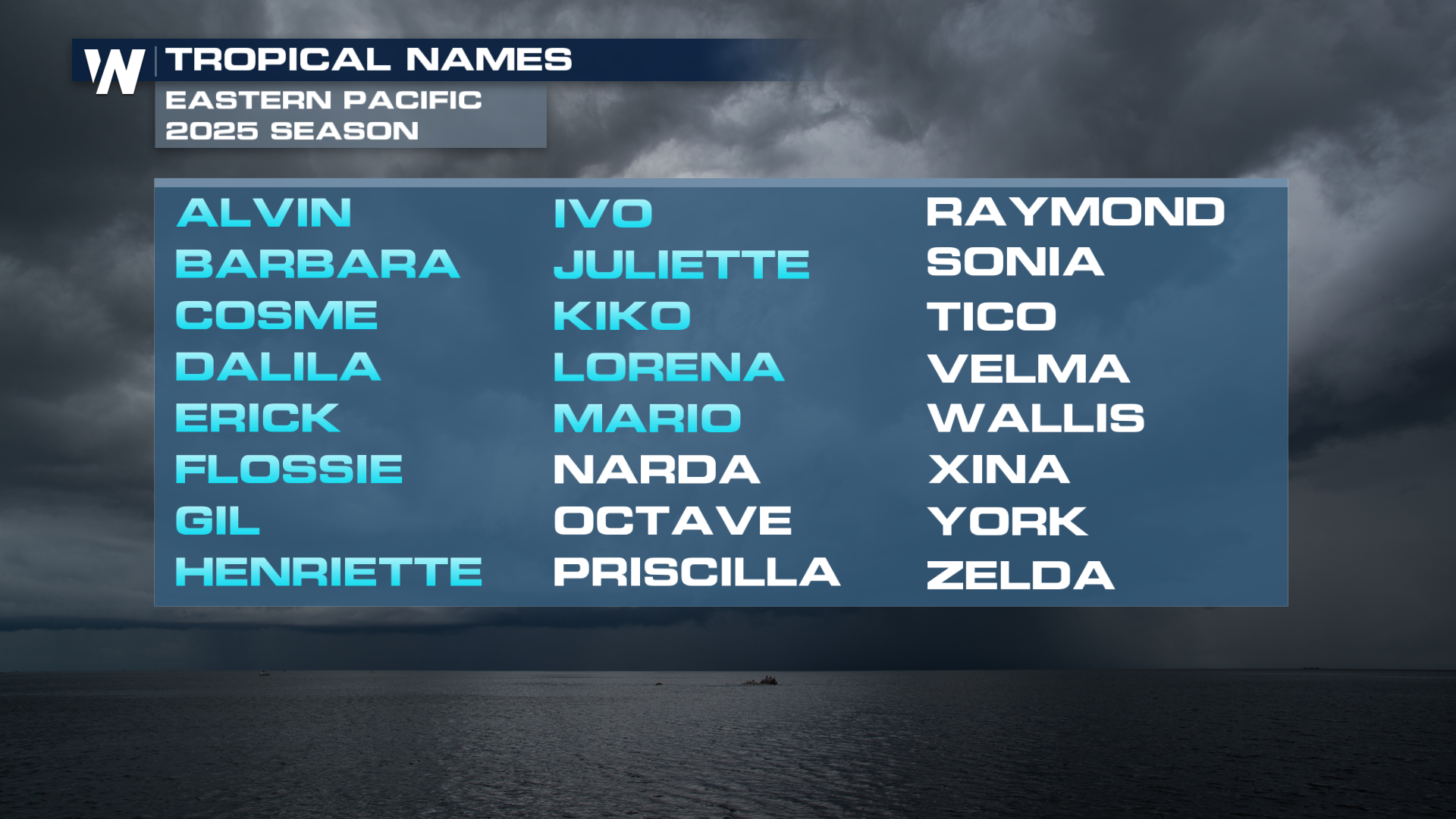
Out in the Eastern Pacific, a broad area of low pressure is producing a large area of showers and thunderstorms. The NHC has good confidence in the development of a tropical depression in the next day or two. The next name up on the Pacific hurricane season names list is Narda.
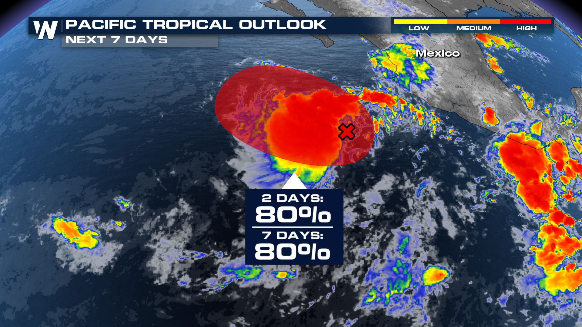
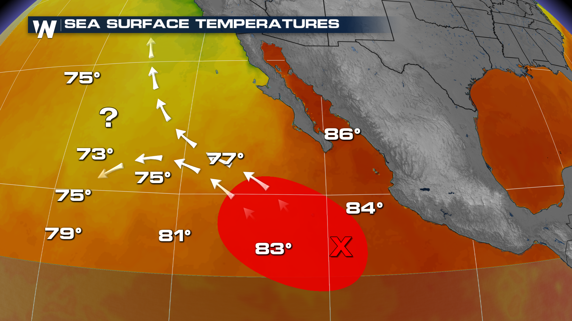
Regardless of its likely development, this new system is trending into cooler waters regardless. It's north-westward trajectory will potentially stunt any further development beyond a tropical depression/storm.
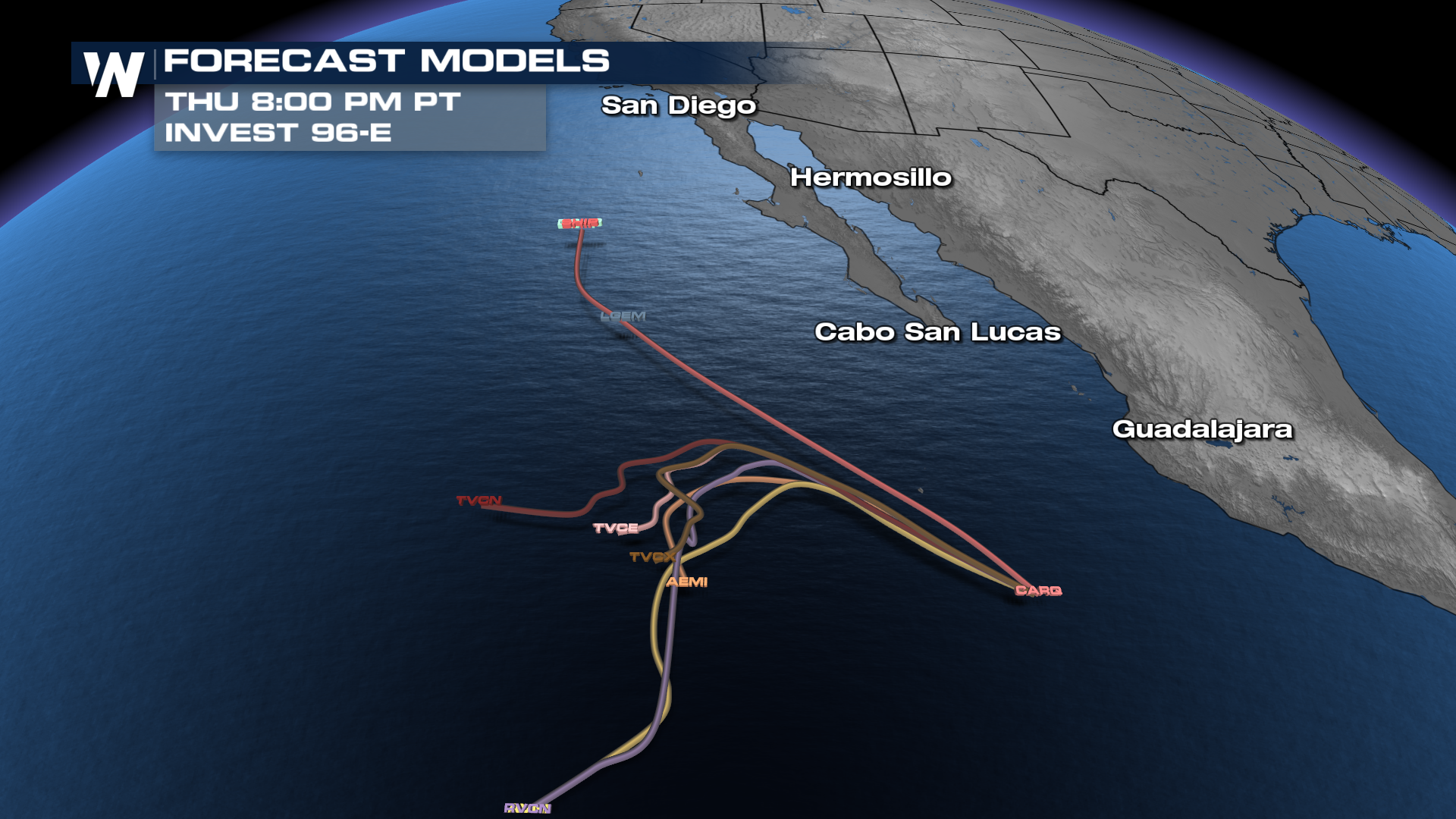
However, forecast models are rather sporadic in the direction this system goes. Some send it meandering out to sea, while a few take it further north. A similar track we've seen this Pacific hurricane season with hurricane Lorena and more recently, tropical storm Mario, where residual moisture after these storms dissipated tracked tropical moisture into the southern U.S.
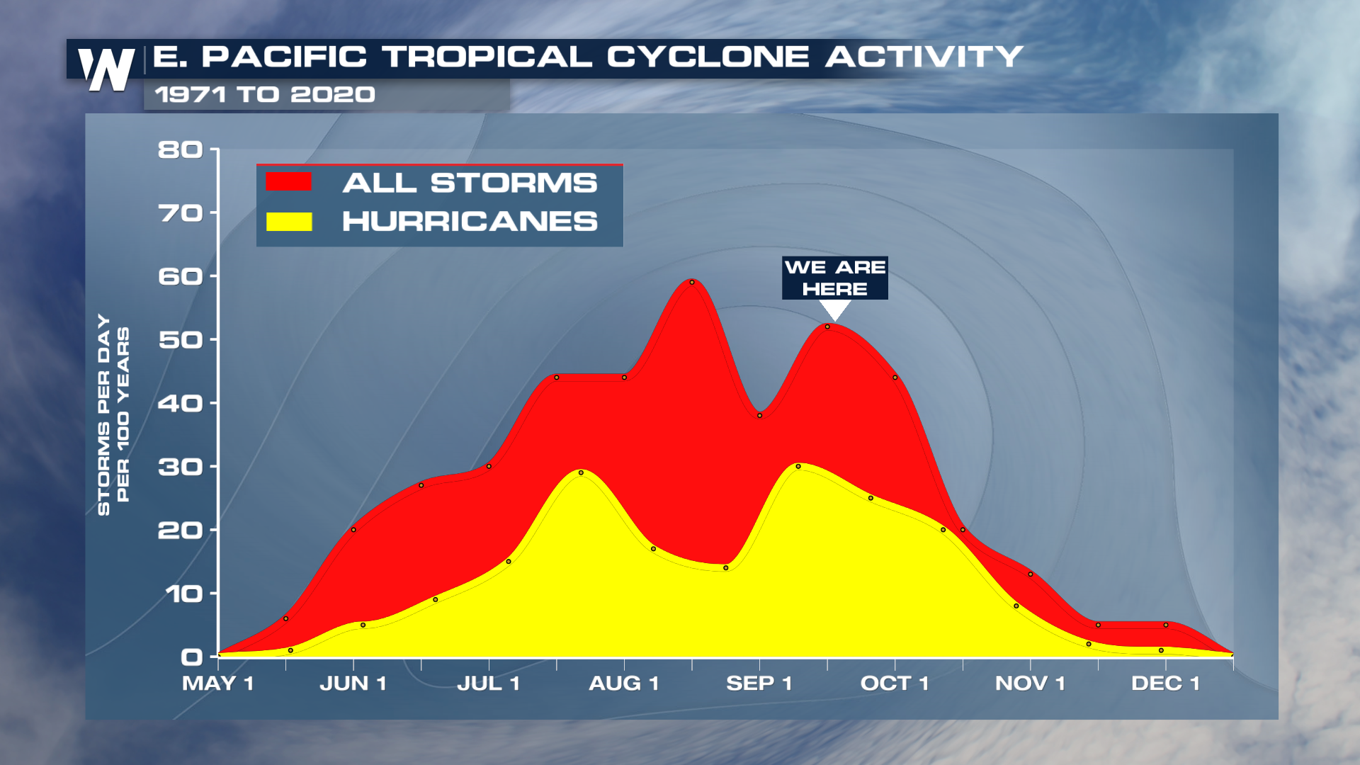
Now, this isn't calls to press the proverbial red "panic" button. Regardless if moisture makes it's way to the U.S., any tropical depression or storm will have been dissipated long before. It'll simply be something we'll watch closely into the weekend. Reminder that we're getting over the final little peak of the Pacific hurricane season. It's important to continue to stay updated all the way throughout!
Stay tuned on WeatherNation for all the latest updates on this new invest.


