One Fatality Confirmed in Columbus, Mississippi Tornado

Top Stories
24 Feb 2019 1:59 PM
A tornado in Columbus, Mississippi killed one person on Saturday afternoon and left much of the city cleaning up from widespread damage.
https://twitter.com/WeatherNation/status/1099472282932506625
A trail of destruction was left in the tornado's wake, with WeatherNation meteorologist and field reporter Logan Poole reporting significant damage in the city from the tornado. In addition to the fatality, "multiple injuries" were also reported by Mississippi Governor Phil Bryant.
The National Weather Service office in Jackson, Mississippi is surveying the damage to rate the tornado's strength.
https://twitter.com/JournoRyan/status/1099707944445374465
Located near the eastern border of Mississippi northeast of the Tombigbee River, the city of 24,000 people was under a tornado warning at 4:56 p.m. Central Time. That's when the tornado alert was issued to folks in the area. The tornado hit Columbus around 5:17 p.m. Central, roughly 20 minutes following the warning.
https://twitter.com/WeatherNation/status/1099450737384251392
The storm then produced a tornado on the other side of the state border, over into Lamar County, Alabama around 5:54 p.m. Central.
https://twitter.com/WeatherNation/status/1099465563523280897
The storm was tornado-warned for about 90 minutes, between roughly 5 p.m. and 6:30 p.m., before finally weakening in west-central Alabama Saturday evening.
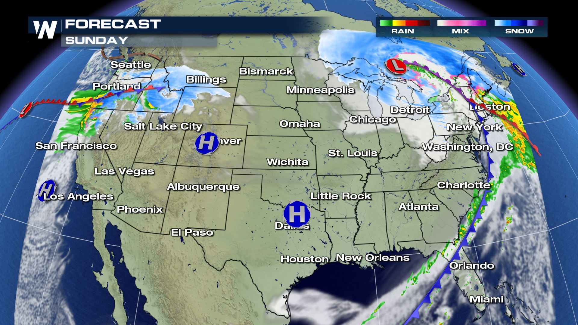
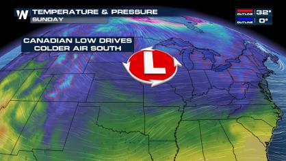
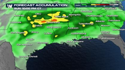
The tornado was part of a much larger weather system that will quickly exit the Lower 48 on Sunday. A few more severe thunderstorms are possible along the southeastern side, while blizzard conditions will push into Sunday for the northern U.S. Lastly, this wide-reaching storm will bring damaging wind gusts to much of the Midwest and Northeast on Sunday.
Keep checking back of more updates on the flooding threat with WeatherNation on-air and online.
All Weather News
More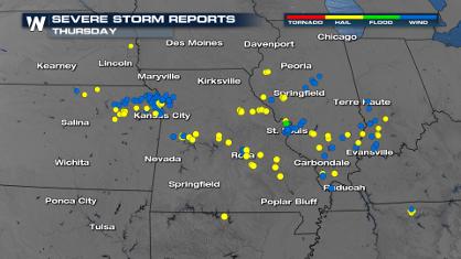
More Severe Weather From the Plains to Southeast
It has been a busy week as severe weather rip
19 Apr 2024 3:00 AM
Freezing Conditions Tonight in the Central U.S.
If you have been enjoying the Spring warmth i
19 Apr 2024 2:55 AM
Record Heat Along the Gulf Coast Today
Summer-like temperatures are expected across
19 Apr 2024 2:50 AM
Wet and Cool Weekend in the Deep South
We're looking at a wet end of the week for th
19 Apr 2024 2:45 AM

Double Trouble: Cicadas Take to the Skies this Spring
It’s the soundtrack to the summer. Nature’s n
19 Apr 2024 2:40 AM

National Park Week: Get Out and Explore
National Park Week starts April 20th and runs
19 Apr 2024 2:35 AM

Ef-2 Tornadoes Touch Down in Kansas, Iowa
Severe storms moved across the Midwest Tuesda
18 Apr 2024 1:00 PM