A Change in Pattern for the Northwest
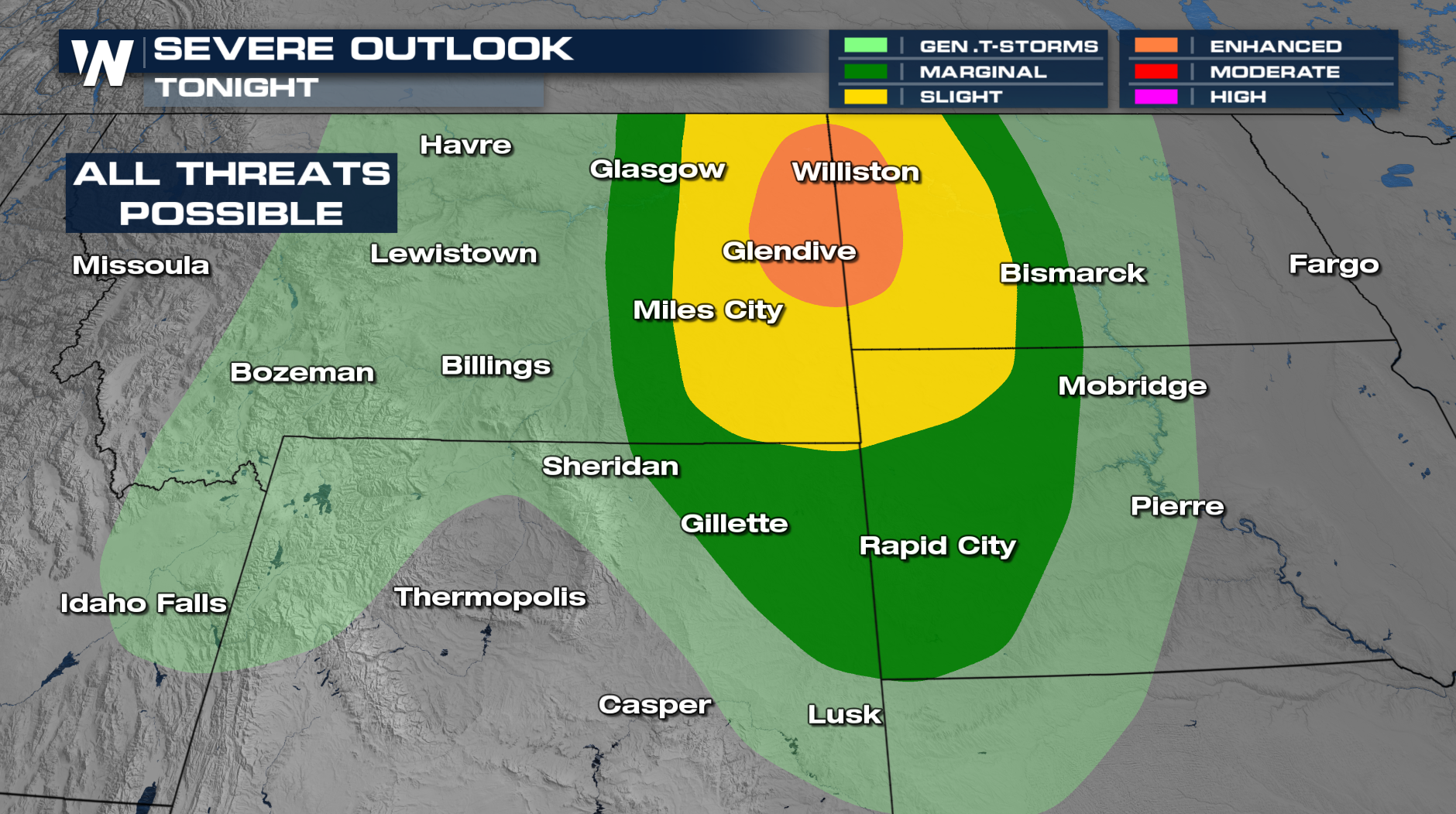
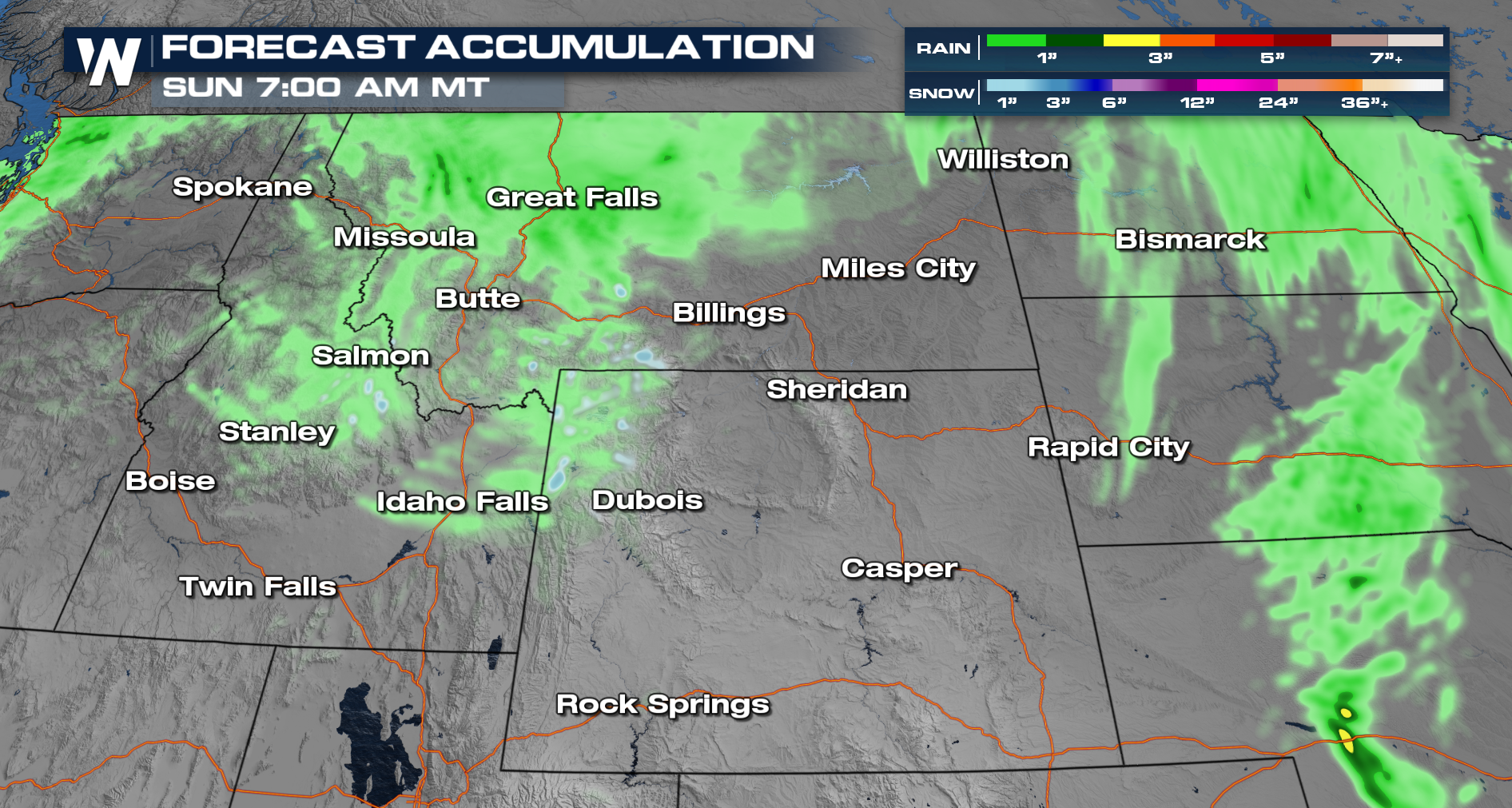
More severe storms will be possible through Friday morning across areas of the High Plains. This includes the risk of numerous severe storms for places like Williston and Glendive. Damaging winds will be the primary risk with any storms that turn severe. Some small hail also will be possible. Higher elevations could even see some snowfall, which is not normal for September.
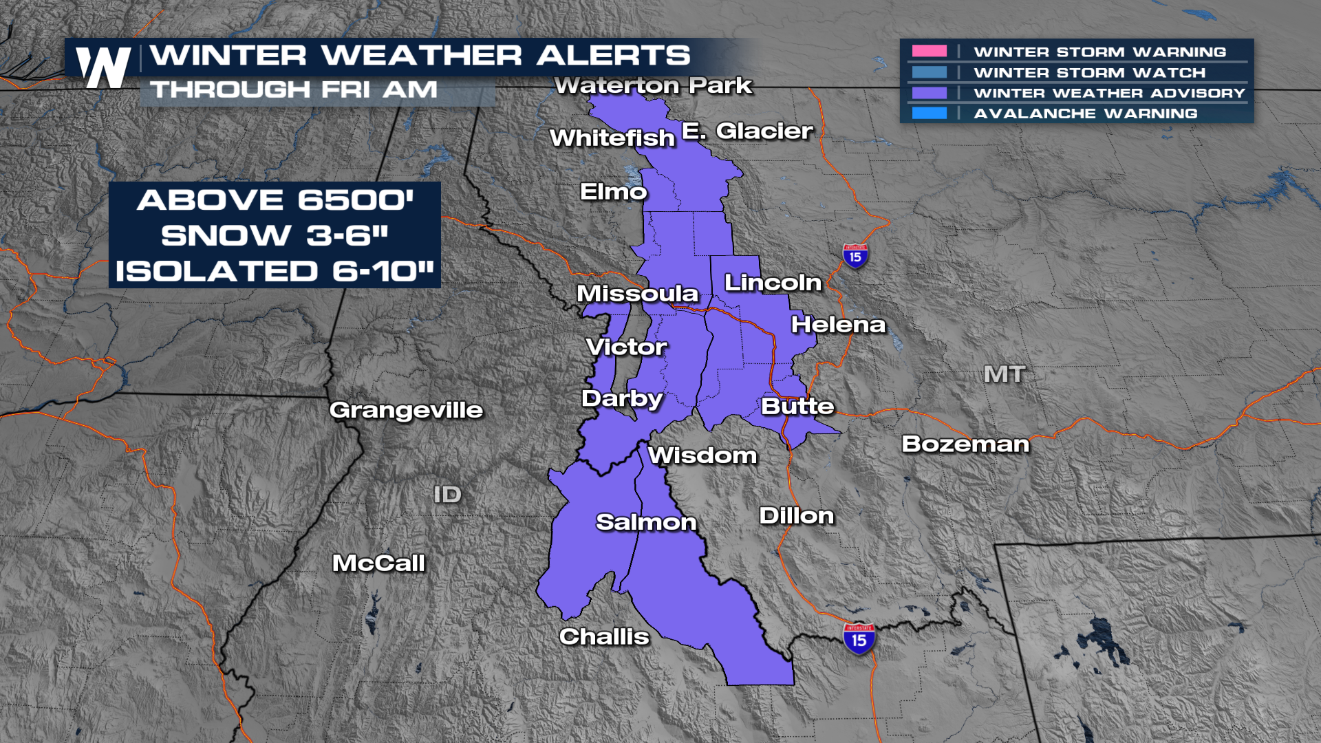
 Winter weather advisories have been issued across Idaho and Montana through Friday. Wet snowfall totals of 3"- 6" is likely above 6500 feet with isolated totals up to 6-10".
 With the help of our upper-level trough, cooler air aloft will help to bring in unsettled weather at the surface. This in addition to the mountainous topography and surface frontal boundary will allow for thunderstorms to intensify through Thursday evening, while cool air behind the front will drop temperatures in the higher elevations to produce snowfall.
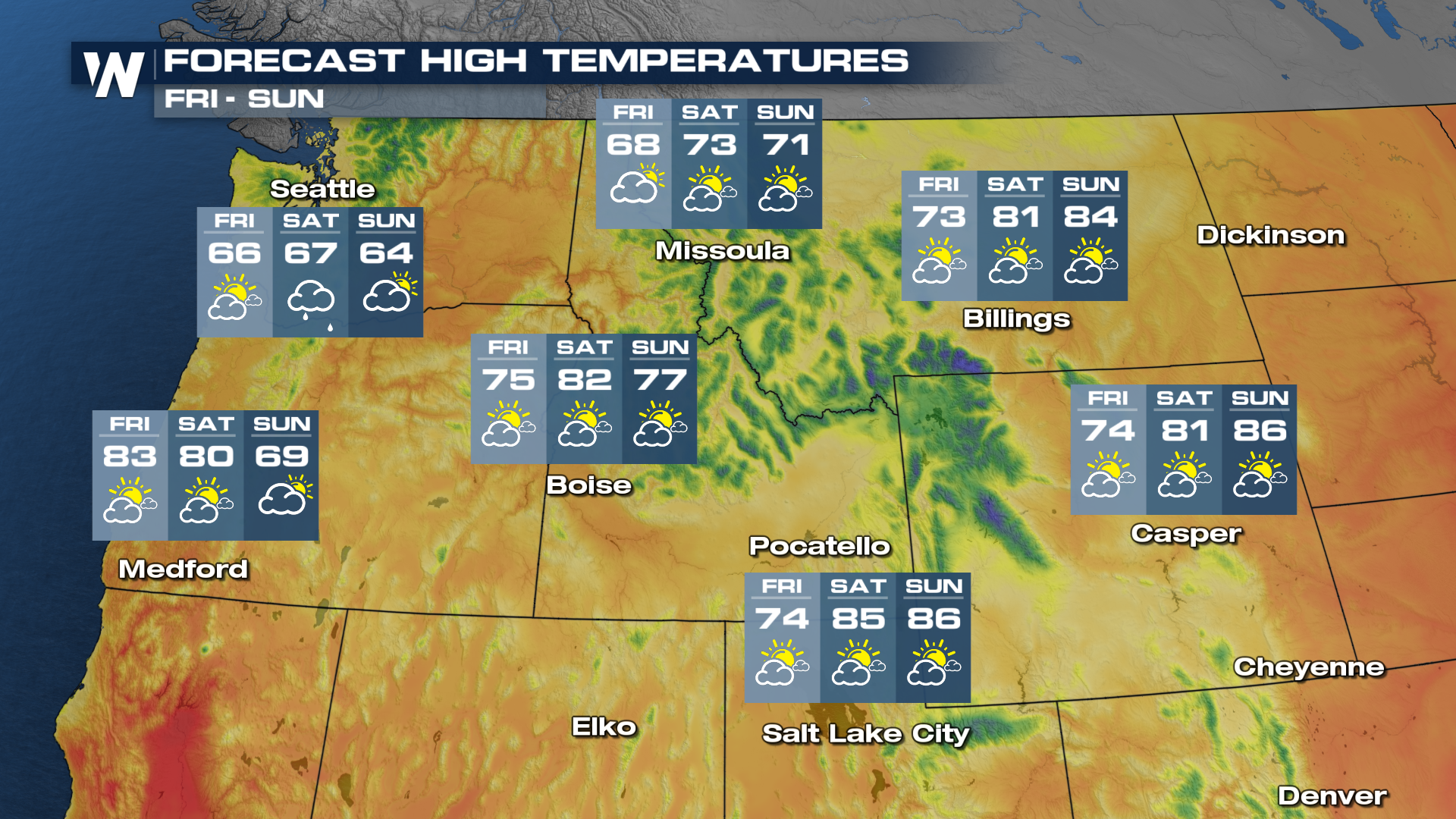
With this system passing through, there will be much cooler temperatures for the end of the week.
 The west is still dealing with ongoing fire and smoke. More can be found here: Wildfires Erupt Out West.
Your Western Regional Forecast can be found at 50 past the hour on WeatherNation.