Severe Storms Look More Likely This Afternoon

A strong upper-level trough along with monsoonal moisture advecting northward continues to hone in on Western Colorado, SE Utah, and New Mexico. Both a flood threat and isolated severe thunderstorms will be possible. There are risks for excessive rainfall and flooding over the next few days. The risks are very isolated in the threat of flooding, but it is still something to pay attention to.
The Storm Prediction Center has the risk for strong storms stretching from North Dakota to Texas, but here we will discuss the threat for the southern Plains and Texas.
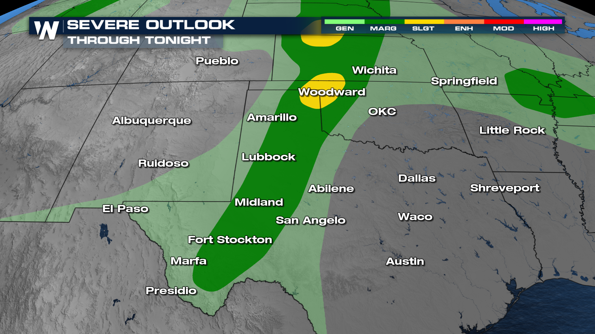
The latest model data suggest that the heaviest rain will be focused over parts of West Texas and the Central Plains as the disturbance keeps moving east. With upper-level support, some thunderstorms may become organized with a severe threat. Straight-line damaging winds would be the main hazard through the weekend but a few tornadoes are possible.
Stay with WeatherNation for the latest updates.


