Hurricane Hunter Aircraft Used to Research Tornadoes
Special Stories
19 Jul 2018 8:22 AM
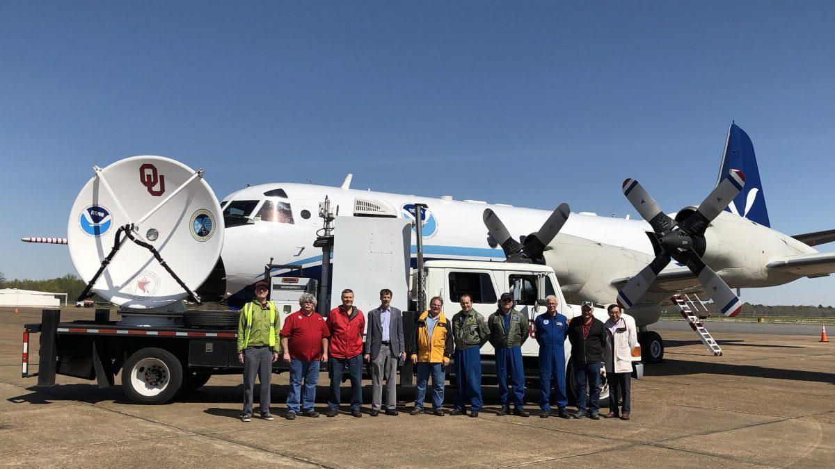
[Researchers in front of a mobile radar unit and the NOAAP-3 airplane used in VORTEX-Southeast.]
From NOAA
NOAA researchers from the NOAA National Severe Storms Laboratory had a different view of tornadoes this spring — flying high above them in a NOAA P-3 “Hurricane Hunter” aircraft.
https://www.facebook.com/NOAAHurricaneHunters/videos/10155902526470081/
[Time lapse video of WP-3D Orion #NOAA42 flying in front of a tornado-producing thunderstorm in northern Alabama on March 20th]
During the Verification of the Origins of Rotation in Tornadoes EXperiment-Southeast project, or VORTEX-SE, scientists collected data on several isolated supercells and large convective systems during a short time span with airborne Doppler radars mounted on the P-3, a lidar operated by the University of Wyoming, and ground based mobile and fixed radars. NSSL scientist Conrad Ziegler recently presented preliminary findings from the project.
https://www.facebook.com/NOAAHurricaneHunters/videos/10155902856415081/
[Cockpit video from inside WP-3D Orion #NOAA42 from a flight around severe weather in Alabama from March 20th.]
From early March to mid April, the researchers concentrated observations on severe weather processes in supercells. They conducted missions with the NOAA P-3 on eight days and gathered data on a total of 10 tornadoes from four supercell thunderstorms. This spring also provided the first opportunity to combine observations from the P-3’s airborne radars with other ground-based radar measurements of the same storms. The result and goal was to derive a more accurate and detailed storm airflow analyses.
On April 13, 2018 — the last P-3 mission day before the end of the project — Ziegler, along with colleague Kim Elmore and a team of researchers, followed a single cycling supercell storm for over two hours observing the growth, maturity, and decay of three different tornadoes.
https://www.youtube.com/watch?v=X09kVUDRzhQ&feature=youtu.be
Use of the P-3 allowed researchers to position themselves closer to storms in a safe way while retrieving higher resolution radar scans and images of a tornado’s life cycle. They were able to fully analyse the atmosphere’s features without impeding terrain to achieve the ultimate goal of better understanding the growth of intense low-level storm rotations that typically accompany severe weather.
Edited for WeatherNation by Meteorologist Mace Michaels
All Weather News
More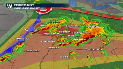
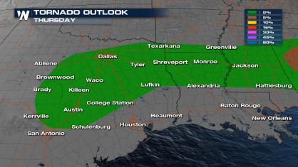
Significant Storm Threat: St. Louis, Nashville, Little Rock Today
We are gearing up for yet another day of seve
8 May 2024 8:40 PM
Hurricane-Force Wind Possible for Georgia, Alabama
The severe weather threat seems never-ending
8 May 2024 8:30 PM
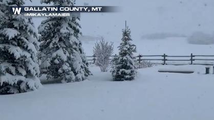
Late Season Snowfall Continues Out West
The snow has been falling in the Northwest wi
8 May 2024 8:20 PM
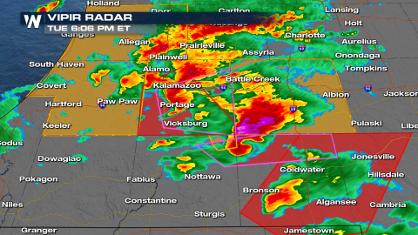
Severe Weather Mauls the Midwest Tuesday
Severe storms started in the state of Illinoi
8 May 2024 8:00 PM

Record Highs in Jeopardy Along the Gulf Coast
It feels like summer with temperatures rising
8 May 2024 5:40 PM
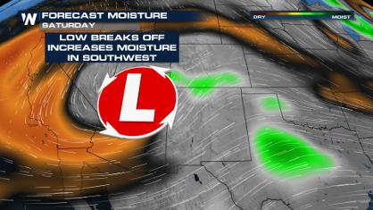
Four Corners: Windy with a Chance of Showers
The Southwest has been dry and windy the last
8 May 2024 2:15 PM