The Challenges of Forecasting the Eruption of Kilauea
Over the past few days, various media outlets were littered with doomsday headlines and predictions of a Kilauea eruption. While an explosive eruption can’t be ruled out, it’s also not a sure bet. I talked with a few volcanologists to get the lava low-down.
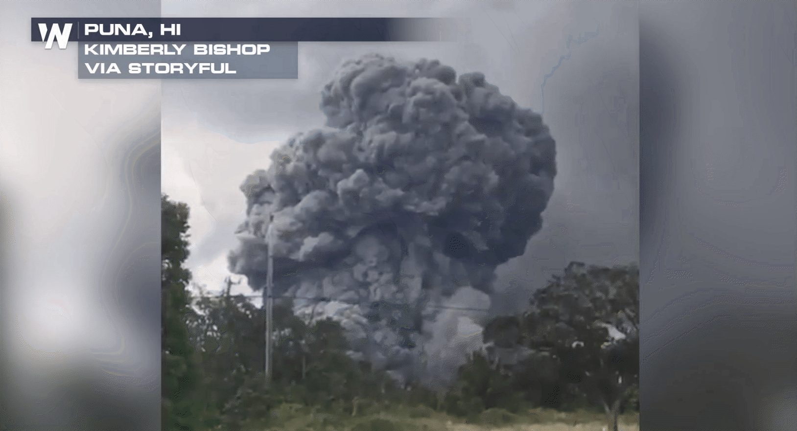
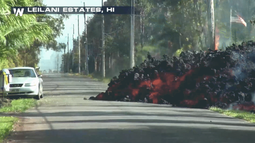
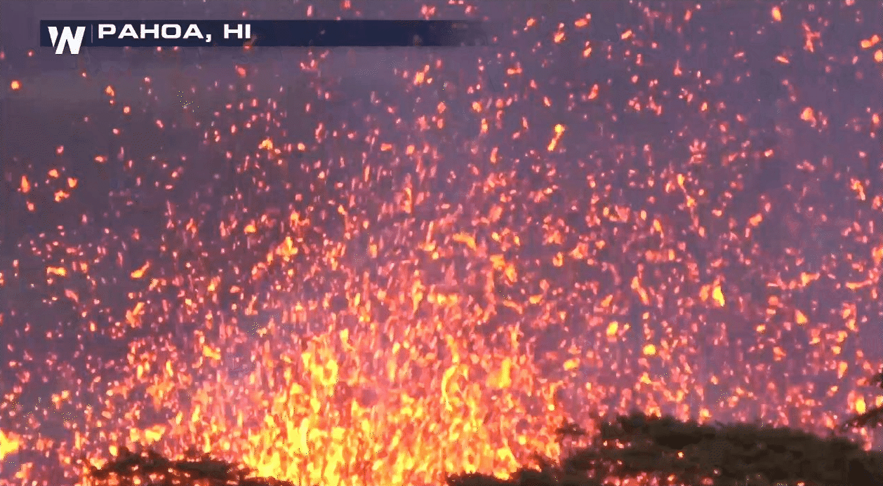
To understand how scientists predict eruptions, it helps to know the basics of volcanic eruptions. First off, a volcano can erupt explosively in violent fashion as well as effusively in a slower manner. The current activity on Hawaii’s Big Island has shown signs of both explosive and effusive eruptions.
Explosive eruptions occur when pressure builds in the heart of the volcano, eventually bursting, spewing ash and rock thousands of feet in the air. To better predict these eruptions, the United States Geological Survey (USGS) monitors volcanoes with lasers, webcams, and satellite imagery. Though this data provides some insight, it’s impossible to know the full picture.
Dr. Janine Krippner, a volcanologist at Concord University, has grappled with the uncertainty of forecasting volcanic eruptions for years. Krippner says there’s “enormous complexity of these ever-changing systems.” Similar to meteorologists forecasting the weather, volcanologists, “look at a range of possible scenarios and use monitoring tools to work out which is more likely,” said Krippner.
A particularly challenging aspect of volcanology is the inability to actually see what the magma is doing. Earlier this month a lava lake was present at the Halema’uma’u Crater, but it has since retreated. Dr. Kenneth Rubin, a professor at the University of Hawaii, comments, “It’s basically dropped out of sight. We don’t have a direct line of sight of it anymore.”
Volcanologists rely on the shifting land, above the magma, to determine the subsurface movement. Knowing the tilt of the volcano or “deflation” is crucial for understanding these variations. Dr. Rubin explains how this tilt is measured, “Deflation is measured by instruments that shoot lights at each other across the caldera. They look at changes of location and the angle. This can determine if the volcano is inflating or deflating.”
Even though the magma within the volcanic conduit is currently out of sight, volcanologists can extrapolate the relationship between the volcano’s tilt and magma depth to determine the current height. Forecasting when the magma will interact with the water table (which can result in an explosive eruption) introduces an entirely different challenge.
Scientists can normally pinpoint where the water table is but when magma and heat get involved, this location is thrown for a loop. Rubin says, “Even though there was magma at the depth of the water table, there’s no water in that vicinity because it had been dehydrated out of the ground.” The magma essentially alters which part of the ground remains saturated by evaporation.

At the end of the day, volcanologists can form a reasonable idea of when conditions are just right for an eruption but, as Rubin indicates, “We actually don’t know when it will happen. That’s what causes a lot of uncertainty.” Unfortunately, this uncertainty is not always effectively communicated by the mainstream media.
During the Agung eruption, fear-mongering headlines were plentiful. Dr. Krippner remembers the frustrations of event, “Headlines caused people to cancel their vacations to the island of Bali – an island that relies on tourism. People suffered because of this loss of business.”
Also at stake is the all-important trust between the public and scientists, “I would imagine having so much conflicting information out there (what the science says versus what the headlines sometimes say) doesn’t do wonders for people’s trust in what we say. People deserve to have the correct information,” Krippner said.
In the era of fake news, people do deserve to have the correct information.
To aid that mission, listed below are several solid and trusted sources for everything relating to the Kilauea Volcano.
----------------------------------- Written by Dakota Smith.


