Not Only for Weather: NOAA satellites helped rescue 340 people in 2018
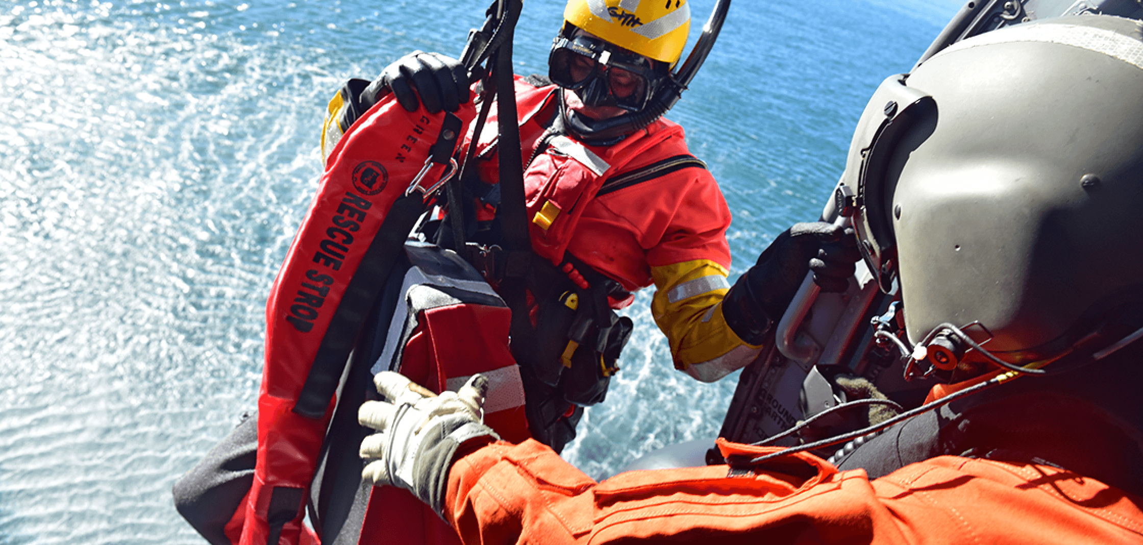
But on June 15, 2018, when he faced life-threatening danger as his boat began to take on water off Nantucket, Massachusetts, he did the right thing. He set off his Emergency Position Indicating Radio Beacon, called an EPIRB, and a NOAA satellite picked up his distress signal. First responders soon rescued him, about 39 miles off the coast.
He was among the 340 people rescued within the United States and its surrounding waters with the help of NOAA satellites last year. Of those rescues, 219 were from the water, 32 were from aviation incidents and 89 were on land, using personal locator beacons, or PLBs.
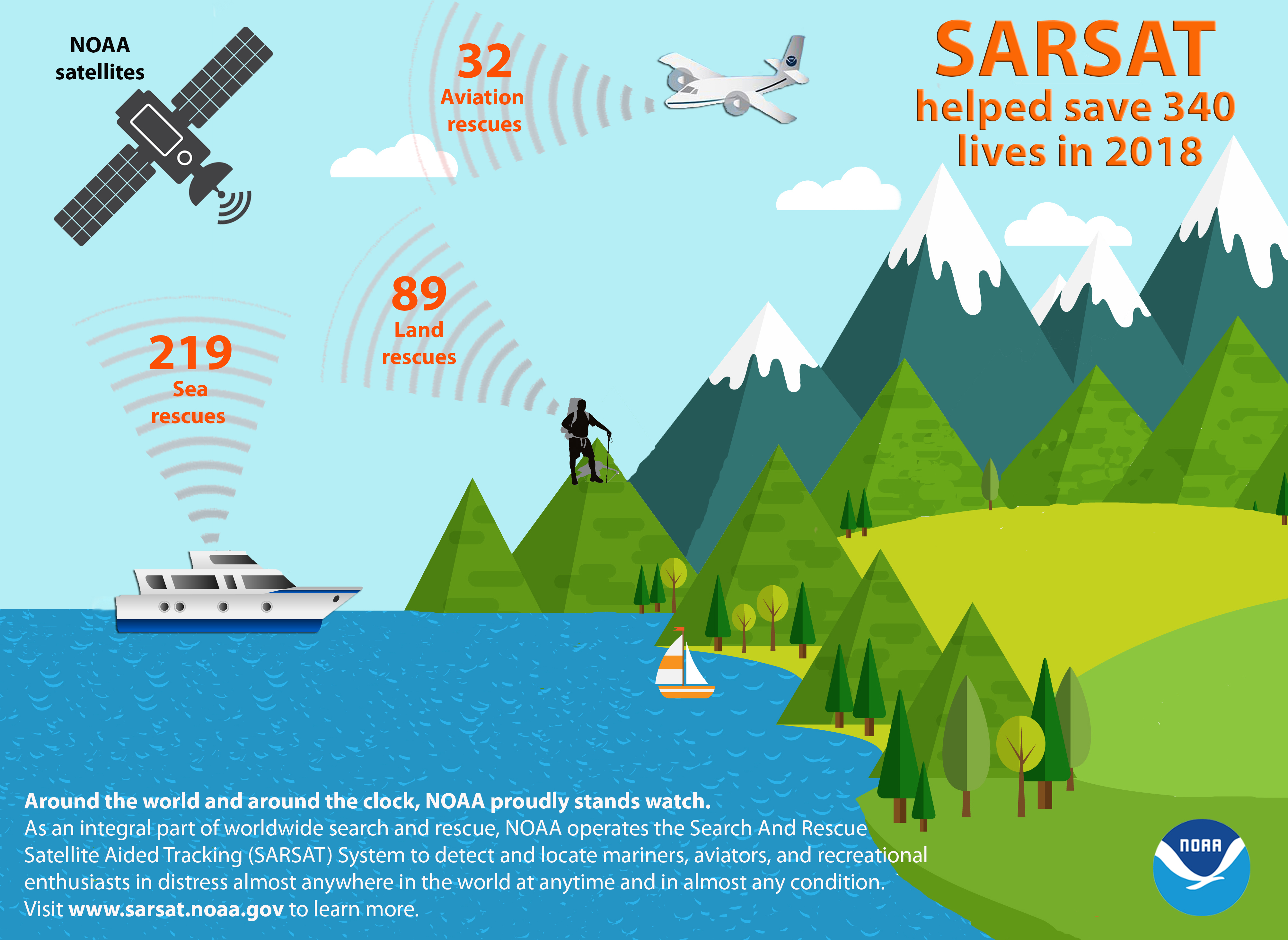
NOAA satellites are part of the global Search and Rescue Satellite Aided Tracking System, or COSPAS-SARSAT, which uses a network of U.S. and international spacecraft to detect and locate distress signals from emergency beacons aboard aircraft, boats and from handheld PLBs.
“The same NOAA satellites, critical for our weather forecasts, also play a direct role in saving hundreds of lives each year,” said retired Navy Rear Adm. Tim Gallaudet, Ph.D., assistant secretary of commerce for oceans and atmosphere and acting under secretary of commerce for oceans and atmosphere.
When a NOAA satellite pinpoints the location of a distress signal, the information is relayed to the SARSAT Mission Control Center at NOAA’s Satellite Operations Facility in Suitland, Maryland. From there, the information is sent quickly to Rescue Coordination Centers, operated either by the U.S. Air Force for land rescues, or the U.S. Coast Guard for water rescues.
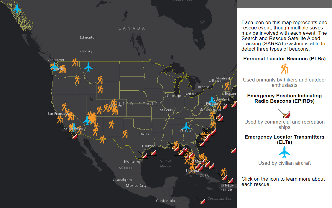
Since the program’s inception in 1982, COSPAS-SARSAT has been credited with supporting more than 43,000 rescues worldwide, including nearly 8,700 in the United States and its surrounding waters.
Beacon owners are required to register their devices online with NOAA. The registration information often helps provide better and faster assistance to people in distress, and can guard against false alarms. It may also provide information about the location of the emergency and what type of help may be needed.
Edited for WeatherNation by Meteorologist Mace Michaels


