One-Two Punch Brings Snow Back to the East Coast

A cold front and trailing coastal low will keep the pattern active in the Northeast through the weekend. An initial round of rain and snow will be followed by mostly snow from late tonight through Monday morning. The exact track of the low will determine where a corridor of heavy snow falls, but there is still some uncertainty about this factor. Winter alerts have now been issued for this round of snow Sunday into Monday for parts of the Northeast.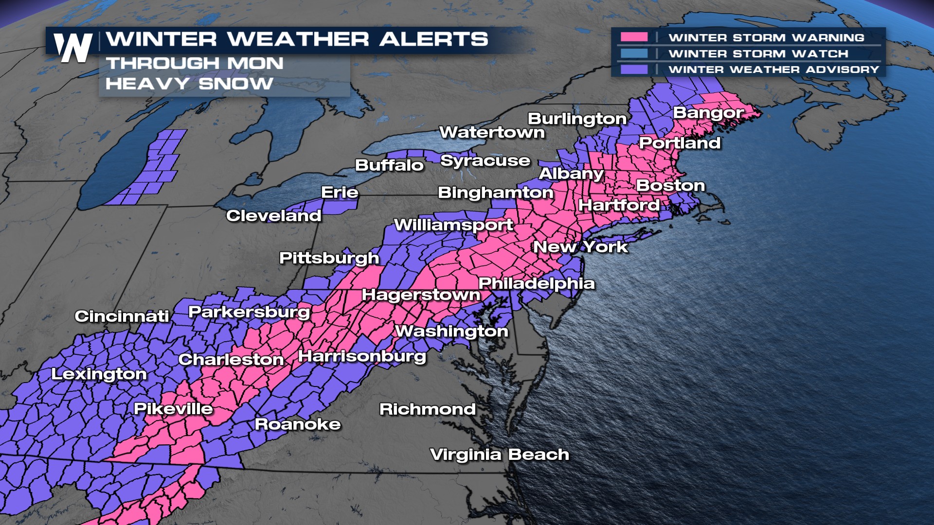 A blast of bitterly cold air, the coldest yet of the winter is waiting on the other side of a snowy end to the weekend.
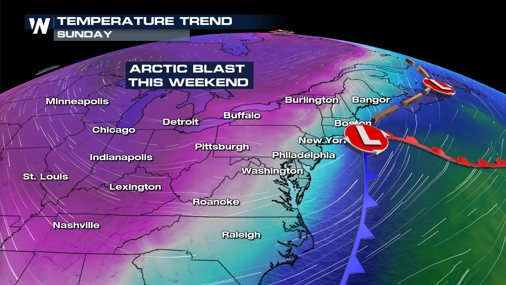
Forecast Timing
The trailing coastal low will begin to produce snow early Sunday morning from Virginia up through New Jersey, with snow spreading up the coast into New England by the late morning hours. Snow is expected to continue into Sunday night as it tapers off from south to north.
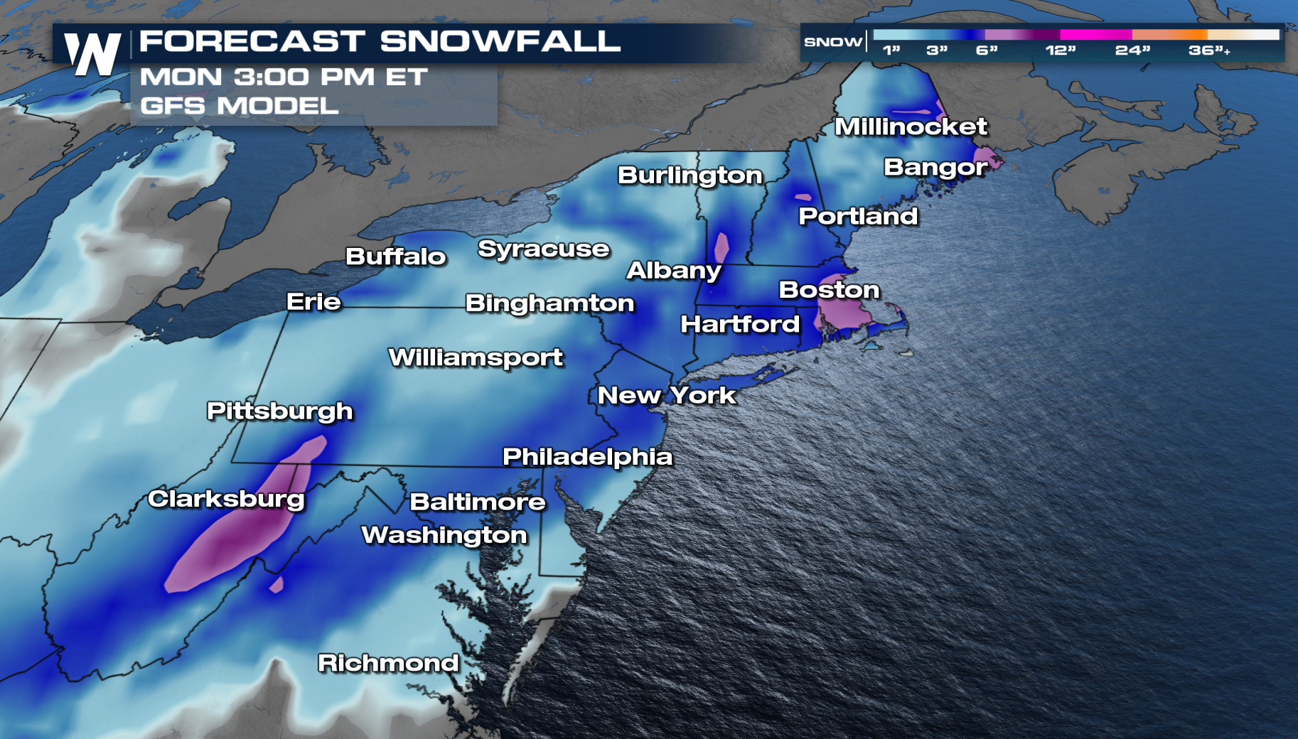
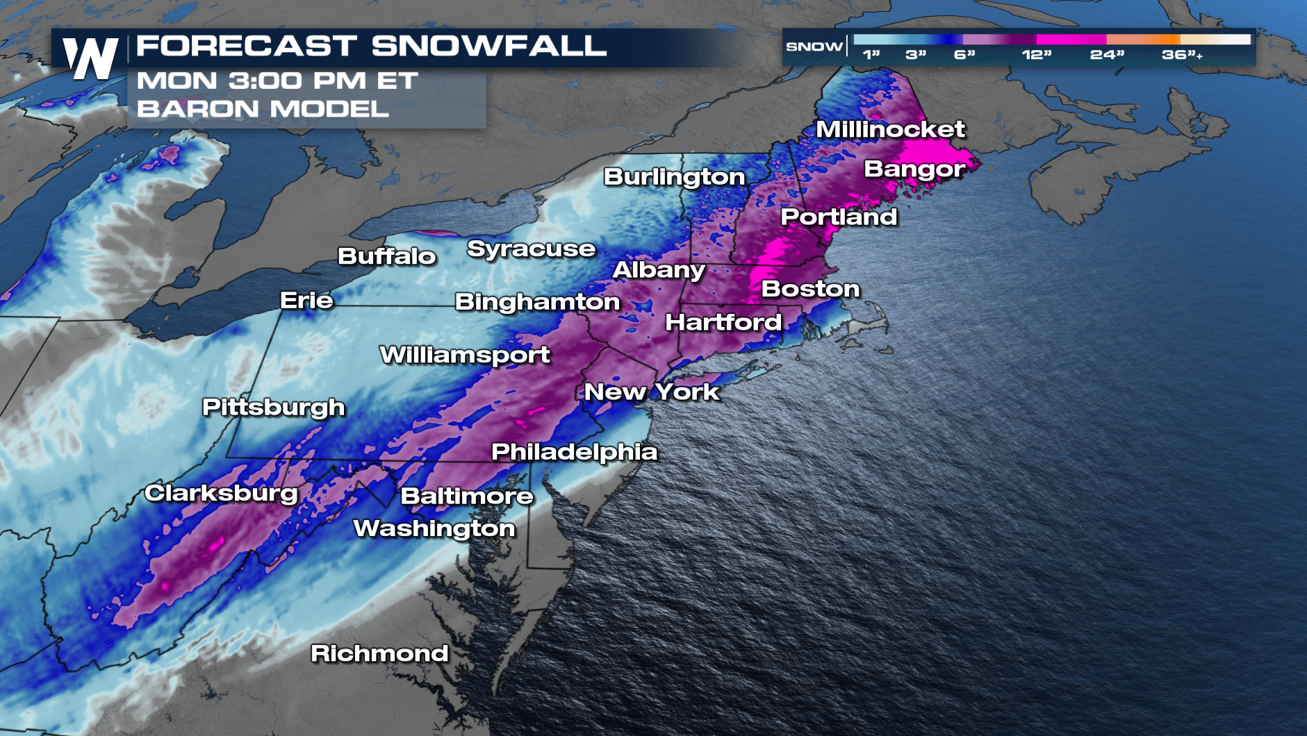
Snow Comparison
The track of low will determine who gets the potential for over 6 inches of new snow. The Baron and GFS model both have a good handle on the snow. The biggest difference between the models are the amounts. Our in house model is favoring more snow than the GFS model. Regardless, everyone in the Northeast will see snow with the heaviest along and west of Interstate 95!