Mawar to Hit Guam as a Super Typhoon
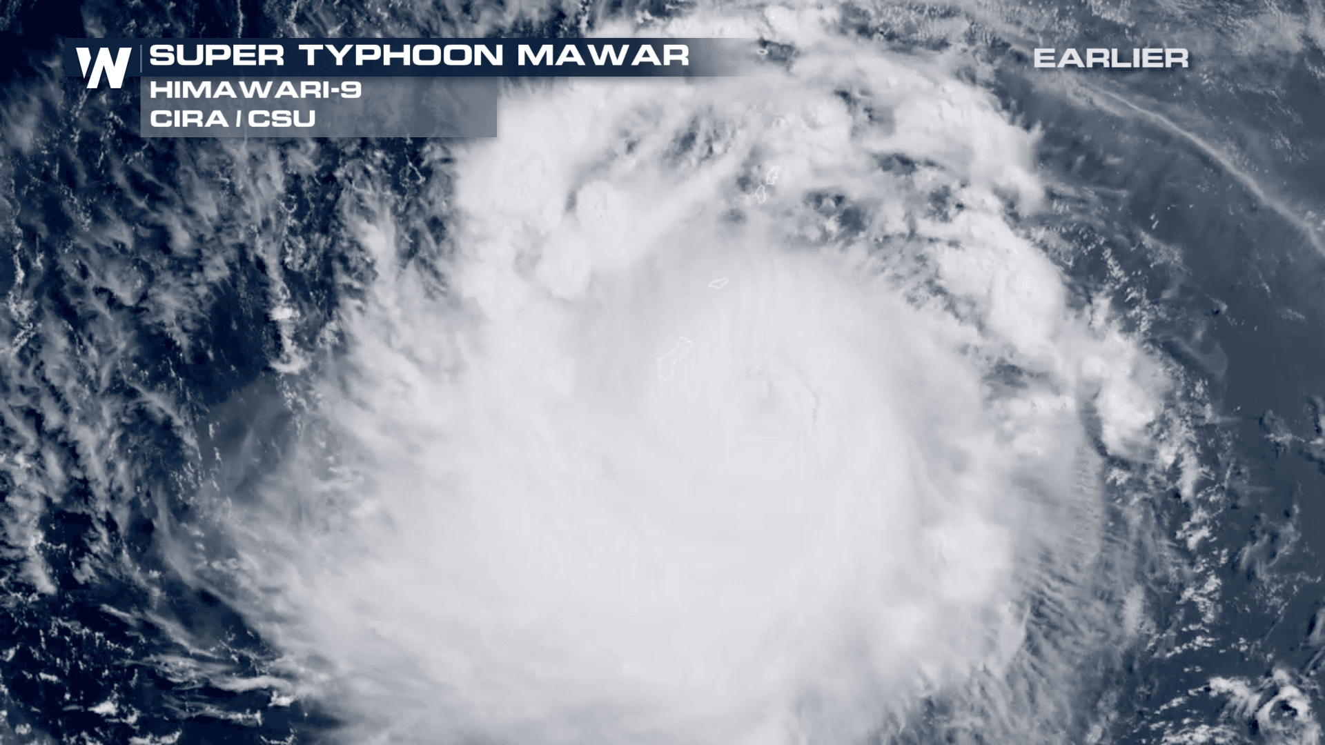
ABOVE: Super Typhoon Mawar on the (local) morning of Wednesday (Tuesday evening US time) closing in on Guam. The storm underwent an Eyewall Replacement Cycle, closing off the previously well-defined eye. Typhoon Mawar in the western Pacific Ocean is impacting the U.S. territory of Guam and the Mariana Islands. On Saturday, was the equivalent of a tropical storm, and now is a Category-4 equivalent storm with sustained winds of 138mph. For Typhoons, they are not ranked on the Saffir-Simpson scale, which is what we use for Atlantic and East Pacific hurricanes. Remember, the category of the storm only speaks to wind strength and not the additional threats the storm may bring. Impacts were already being felt ahead of landfall in terms of damaging winds and heavy rainfall.
After undergoing an eyewall replacement cycle, Mawar is not expected to reach Category-5-equivalent before passing Guam. Winds will still be incredibly strong and wreak havoc across the island.
A Typhoon WARNING has been issued for Guam and a tropical storm warning for the Mariana Islands. Storm surge could be up to 30 feet which is absolute devastation for the island. We would refer to this system as a hurricane here in the United States. However in the Western Pacific, these are referred to as Typhoons. It's the same thing. Because this is in the Northern Hemisphere, the typhoon swirls in the same direction as our hurricanes, counter-clockwise. Mawar will weaken slightly as it moves over Guam, but is still anticipated to reach winds upwards of 160mph later this week in the Philippine Sea.
Impacts from Typhoon Mawar will be major, including damaging wind, storm surge, and flooding rainfall. You can get more information from the National Weather Service located in Guam here.


