Another Blast of Cold Air On the Way

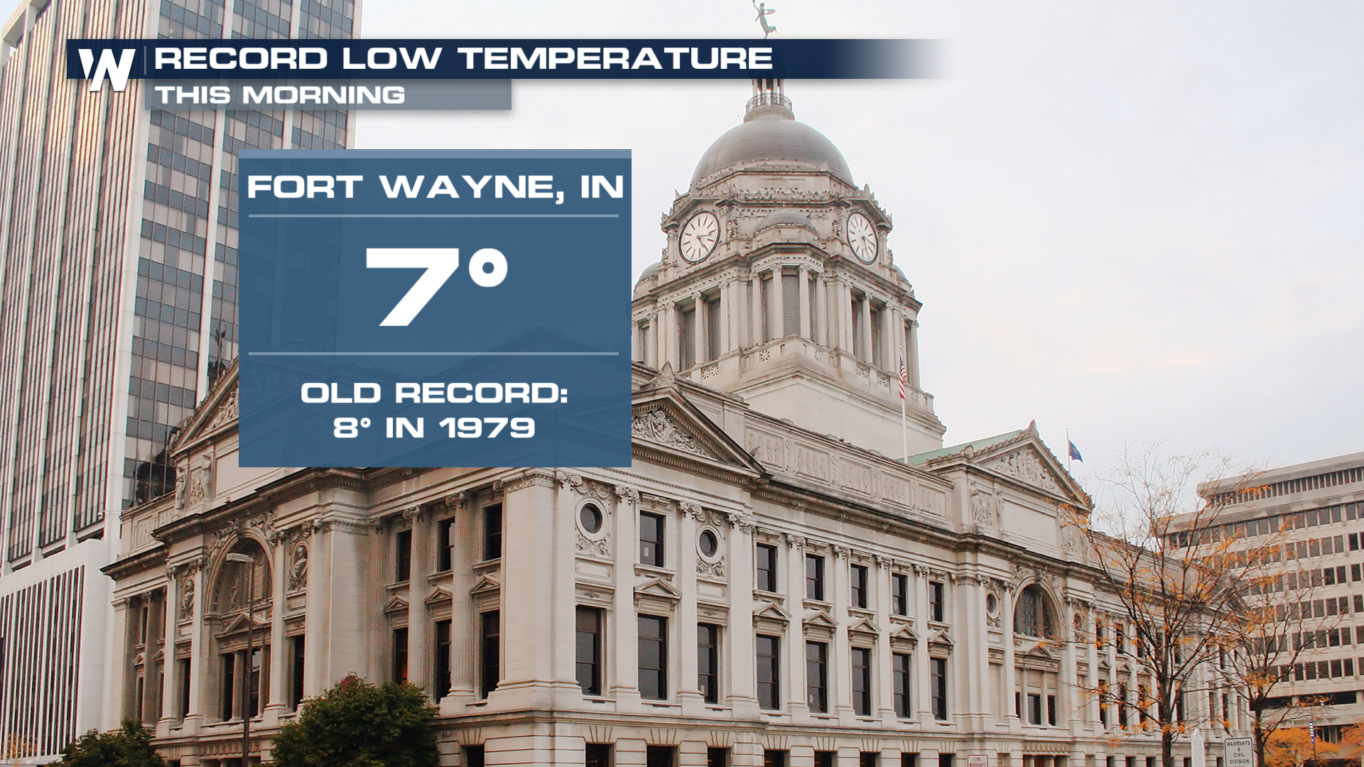
When it rains it pours, right? Another outbreak of Arctic air will invade the northern tier of the country, just days after the most recent burst. Areas around the high plains were waking up to subzero temperatures Monday morning, with the midweek dose looking just as potent. This is the coldest start to December in Fort Wayne's history!
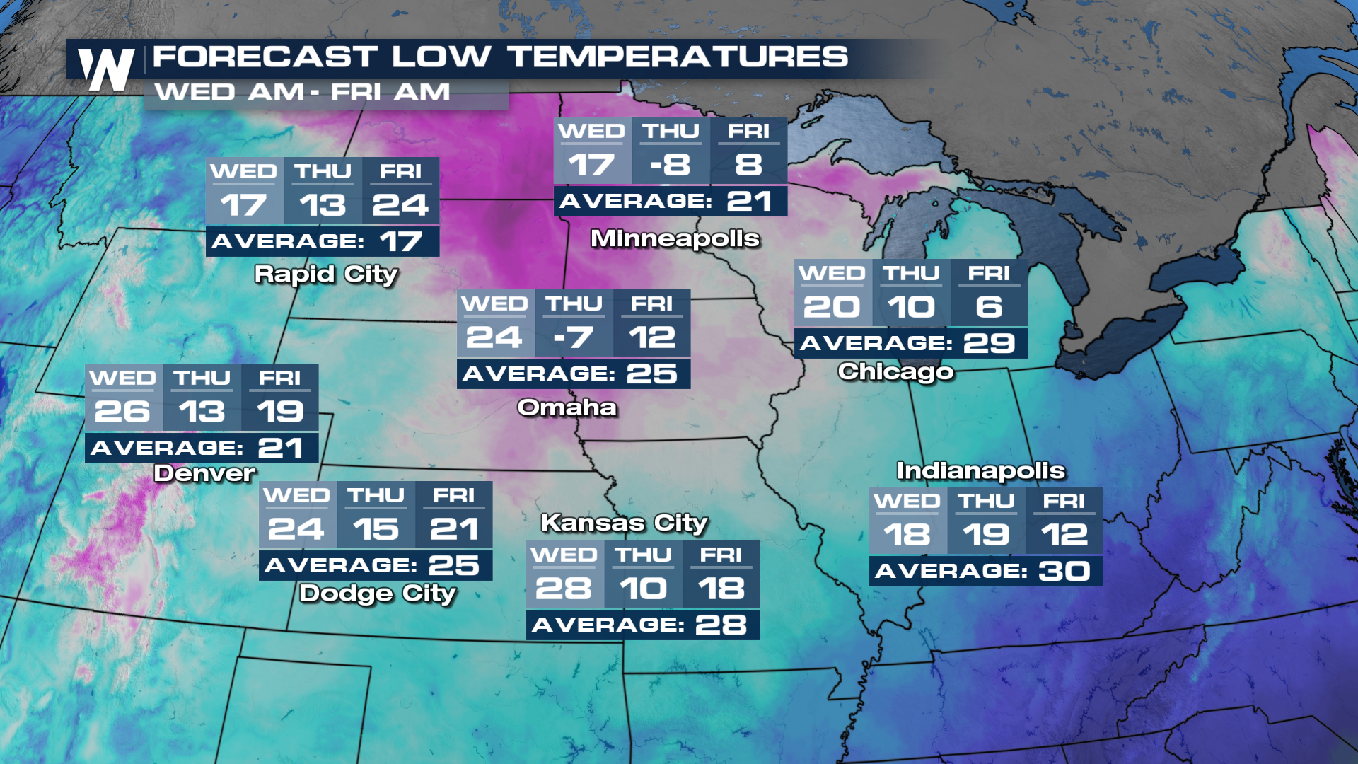
 As the door opens to the Arctic air, highs will plummet by Wednesday and into Thursday. Some areas will wake up below zero, like in the Twin Cities Thursday morning. When you factor in a light breeze, the wind chill will tumble into the -20 to -30 range!
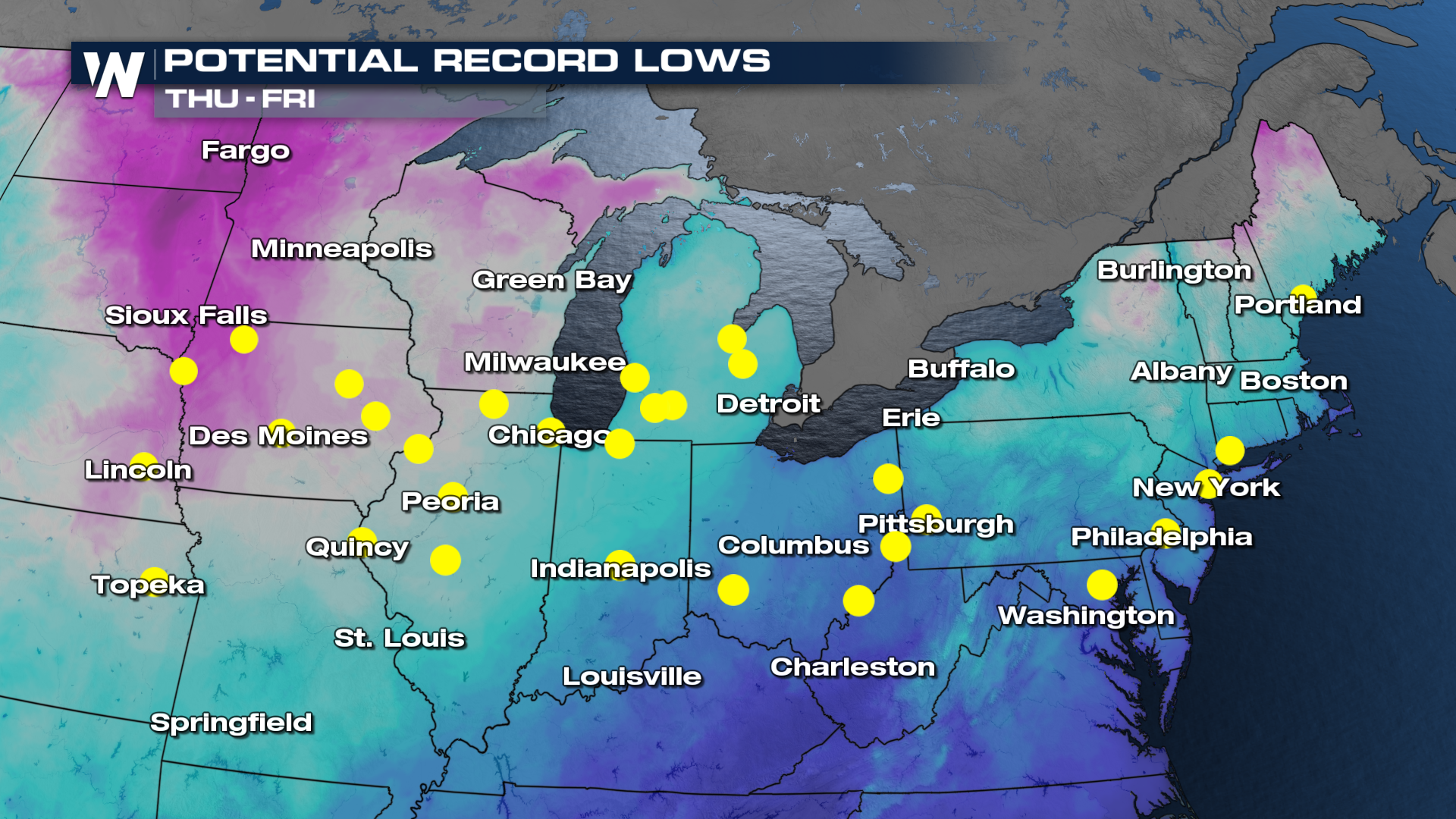
 This will likely be good enough to set new record lows late this week. Anywhere in a yellow dot could be looking at a new mark for the day.
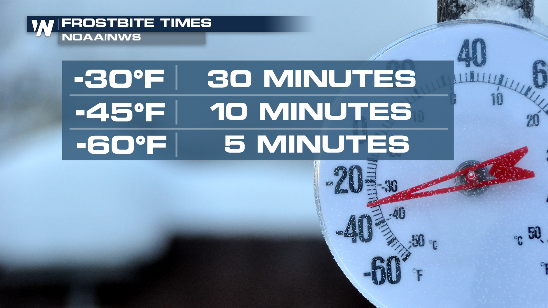
 When it gets this dangeously cold, even if it only lasts a day or two, bring the pets inside and remember to check on neighbors that might be susceptible to this. If you have to venture out, it's important to cover any exposed skin, as frostbite can set in after as little as 30 minutes.