Sara's Moisture Moves into Gulf Coast
Special Stories
19 Nov 2024 3:55 AM
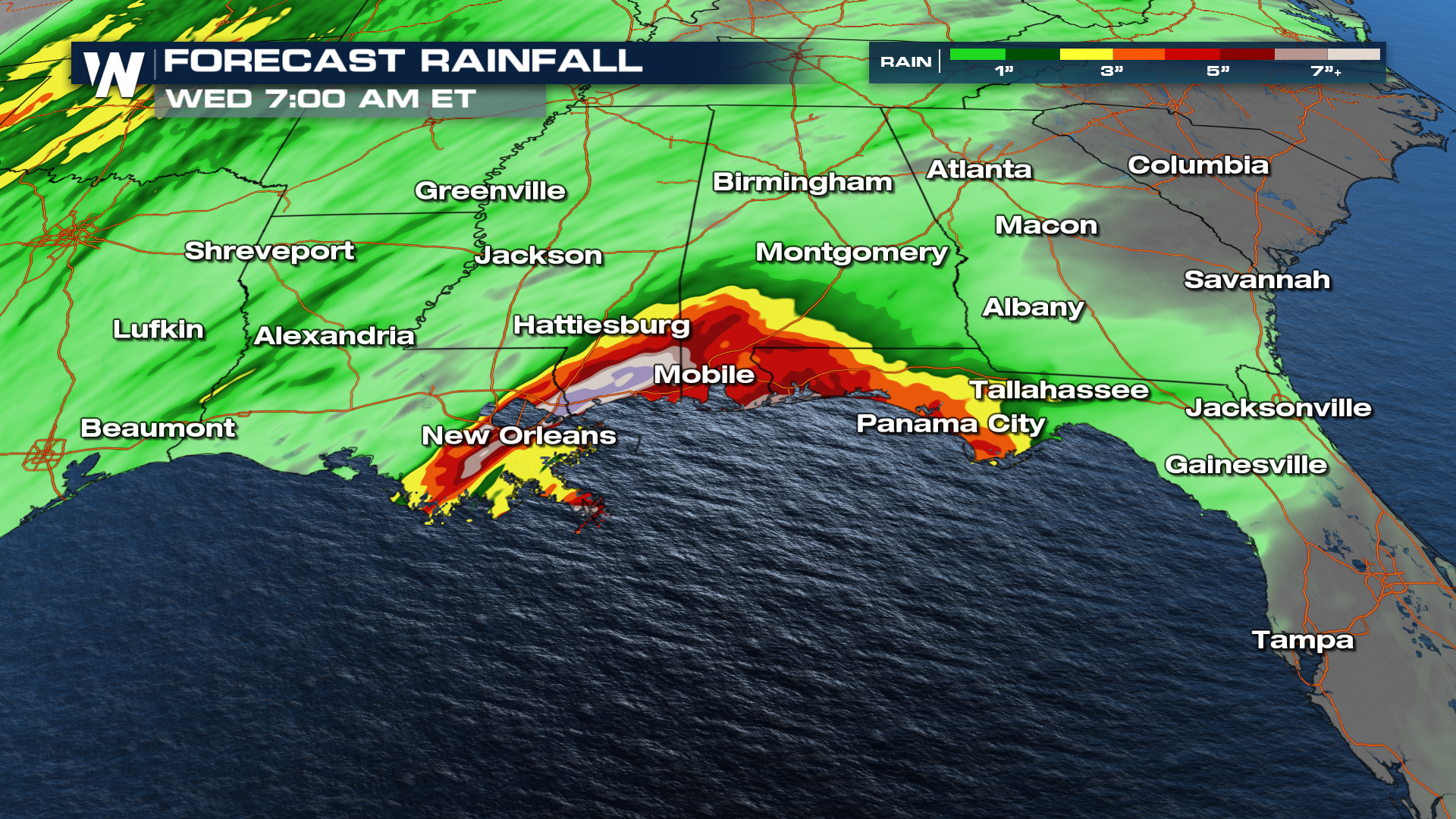
Sara has lost the tropical characteristics after crossing over the Yucatan Peninsula this weekend. However, that moisture leftover has to go somewhere. Heavy rainfall in the U.S. is expected from Sara's remnants through Wednesday.
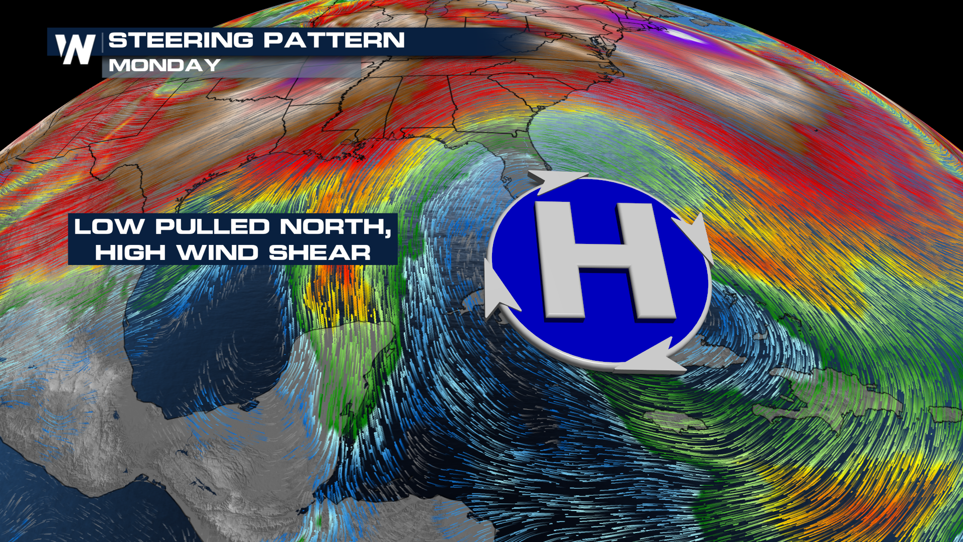
 A ridge of high pressure will help steer the moisture from Sara into the Gulf Coast, where it will run into a frontal boundary.
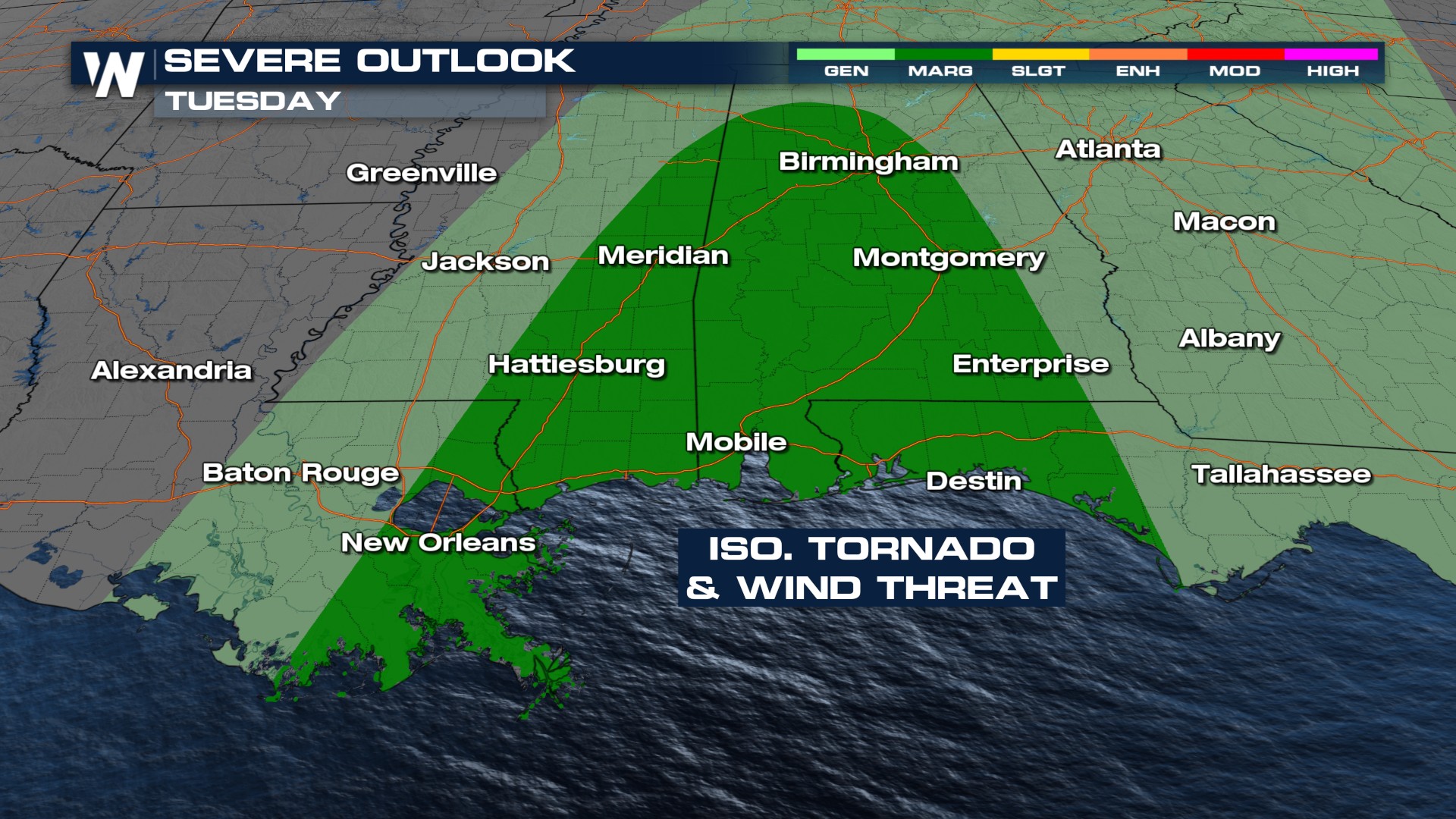
 This cold front will act like a squeegee and usher the storms eastward. These could pack a punch, though, bringing the threat of damaging winds and a tornado or two.

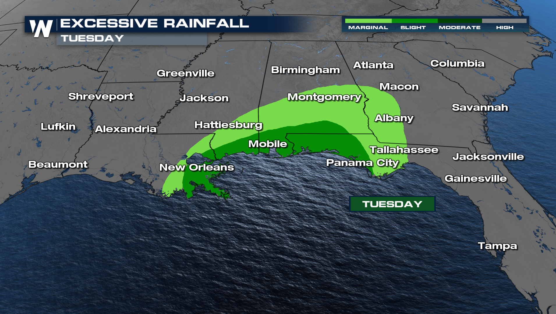
The Weather Prediction Center has highlighted areas across the Southeast for heavy rain on Tuesday.
 As always, if you live in an area that sees impacts from tropical systems, stay weather aware.
All Weather News
More