Series of Fronts Keeps the Midwest Stormy

As a ridge of high pressure continues to dominate the Southwest and Southern Plains, cold fronts will continue to ride around the ridge into the Midwest and Northeast, keeping these areas of the country stormy. Multiple fronts will track through the Midwest over the next few days, bringing shifting chances for severe storms and heavy downpours.
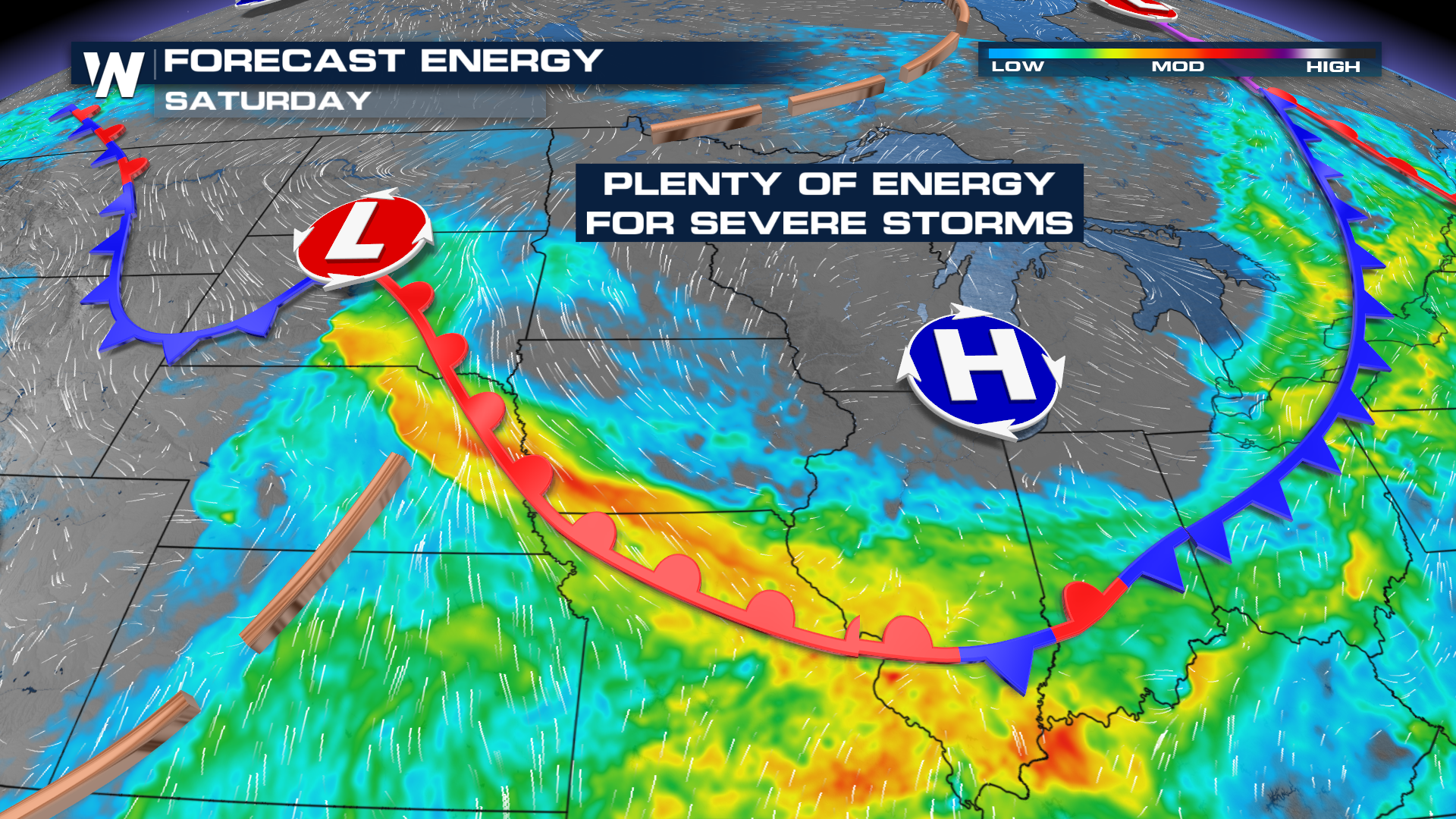 While cooler and drier air will move in briefly behind the fronts, warmth and moisture will rebuild quickly to the south, leading to plenty of instability for severe storms. The outlooks shift a bit each day (top of page), depending on where the fronts are located. Damaging winds and hail are expected to be the primary hazards.
Storms are possible any time of day, but look more active in the afternoons and evenings. As is the case with many summertime thunderstorms, big clusters of storms may form (known as an MCS) which can persist well into the overnight hours.
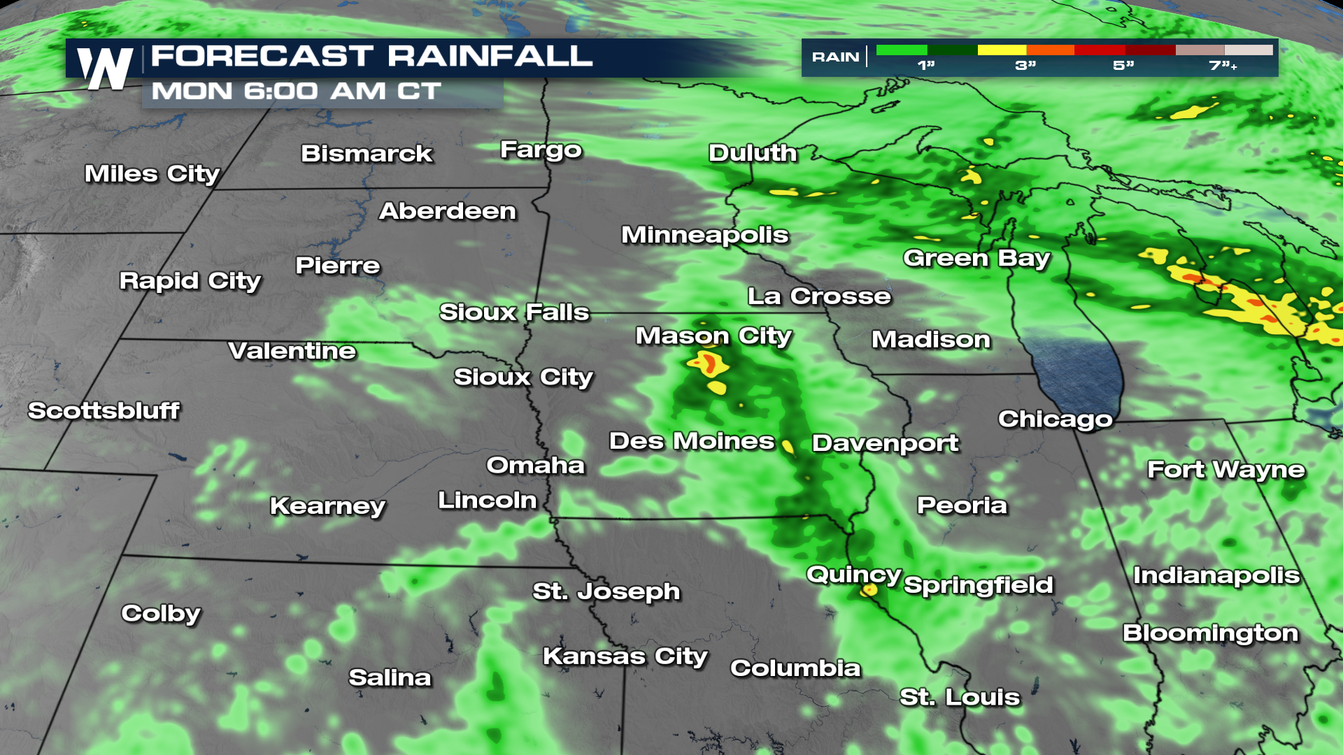 While widespread heavy rain is not anticipated, pockets of heavy rainfall are expected. Totals upwards of 3-4 inches are possible, with isolated to scattered flash flooding possible.


