Texas Flood Threat This Weekend

A strong trough of low pressure moving through Mexico will draw abundant Gulf moisture into parts of Texas through Monday, leading to heavy downpours that will likely lead to flash flooding. Severe storms can't be ruled out either, as the low provides plenty of wind shear.
Timing
As the low swings through Mexico into Texas, expected several rounds of heavy rain. Scattered showers will turn into more widespread, heavy precipitation from the Trans-Pecos down the Rio Grande through Southern Texas through Saturday afternoon and evening. By Sunday, several rounds of these intense downpours are expected to move across Southern Texas, with rainfall rates of 1-2"+ per hour. As the low begins to stretch and move over Texas on Monday, scattered showers will begin to taper off into the afternoon and evening.
Rain & Flood Potential
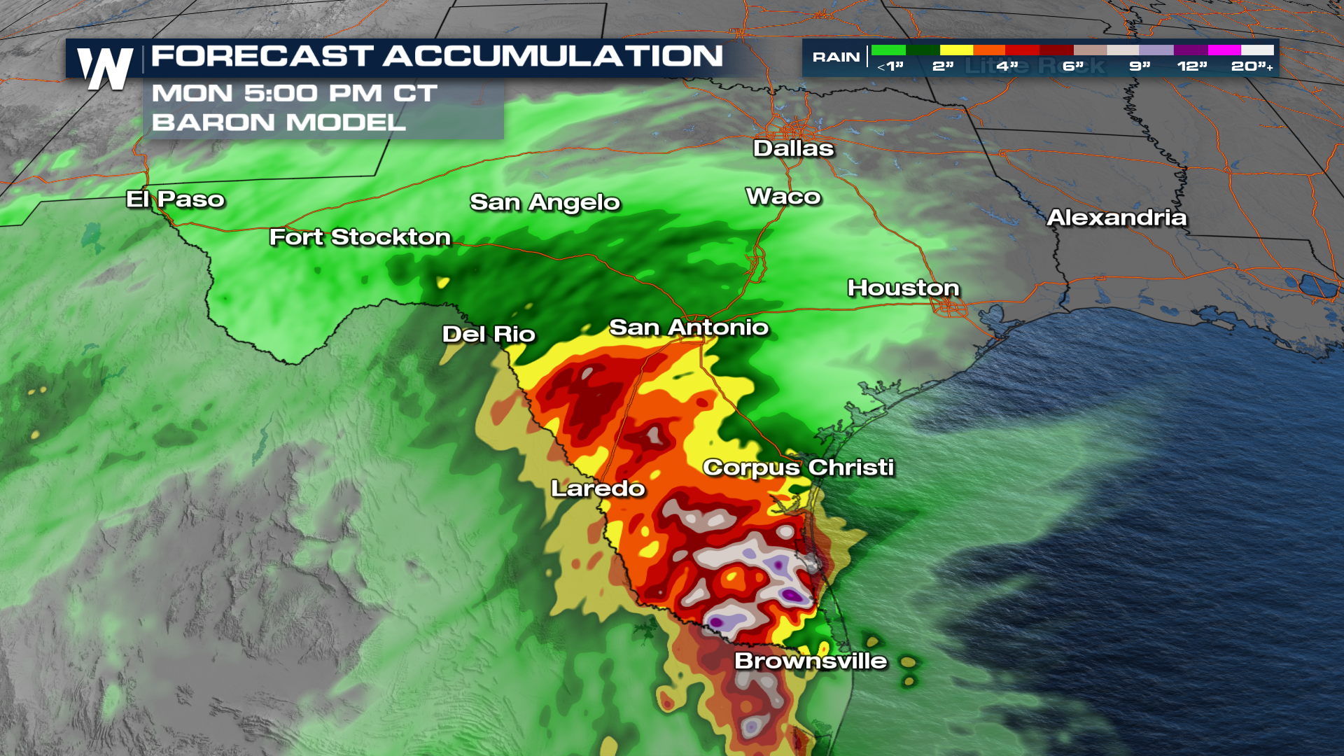
Forecast models are showing potential high-end rainfall totals, which would mean higher impacts if they are correct. The Baron Model is likely overdoing how widespread the heavy rain will be, however, bullseyes of 9-12" of rain (like the model shows in southern Texas) can't be ruled out.
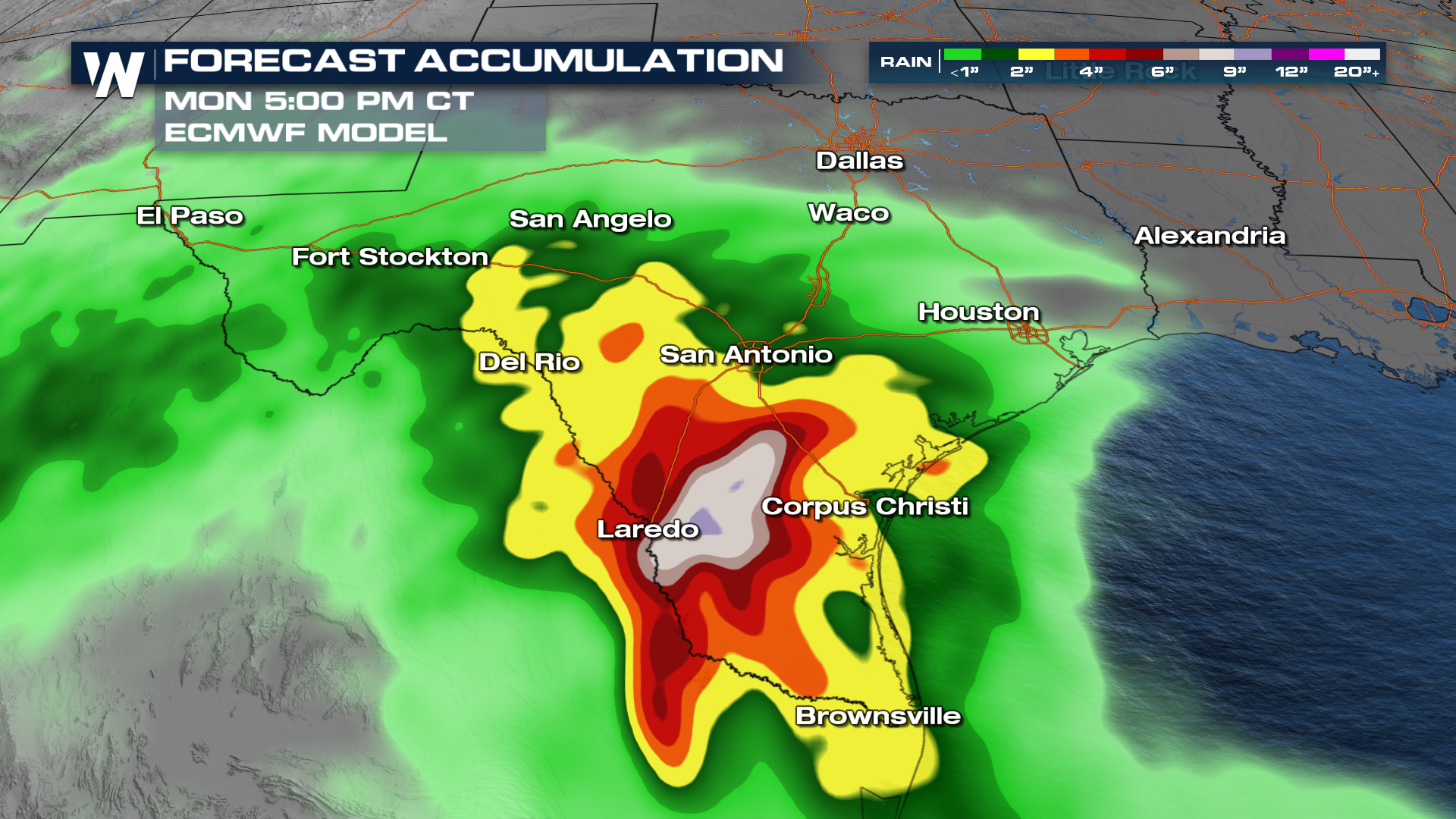
The ECMWF (Euro) model also shows higher end potential for the rainfall, with 6-10" of accumulation south of San Antonio. Prepare for significant flash flooding if you live or plan to travel to these areas, just in case the heaviest rain falls near you.
The WPC has issued multiple excessive rain (flood) outlooks through Monday, with Sunday's outlook increased to a level 2 (slight) risk. A slighrisk indicates scattered flash flooding is expected, with a significant flood event possible. This outlook could be upgraded.
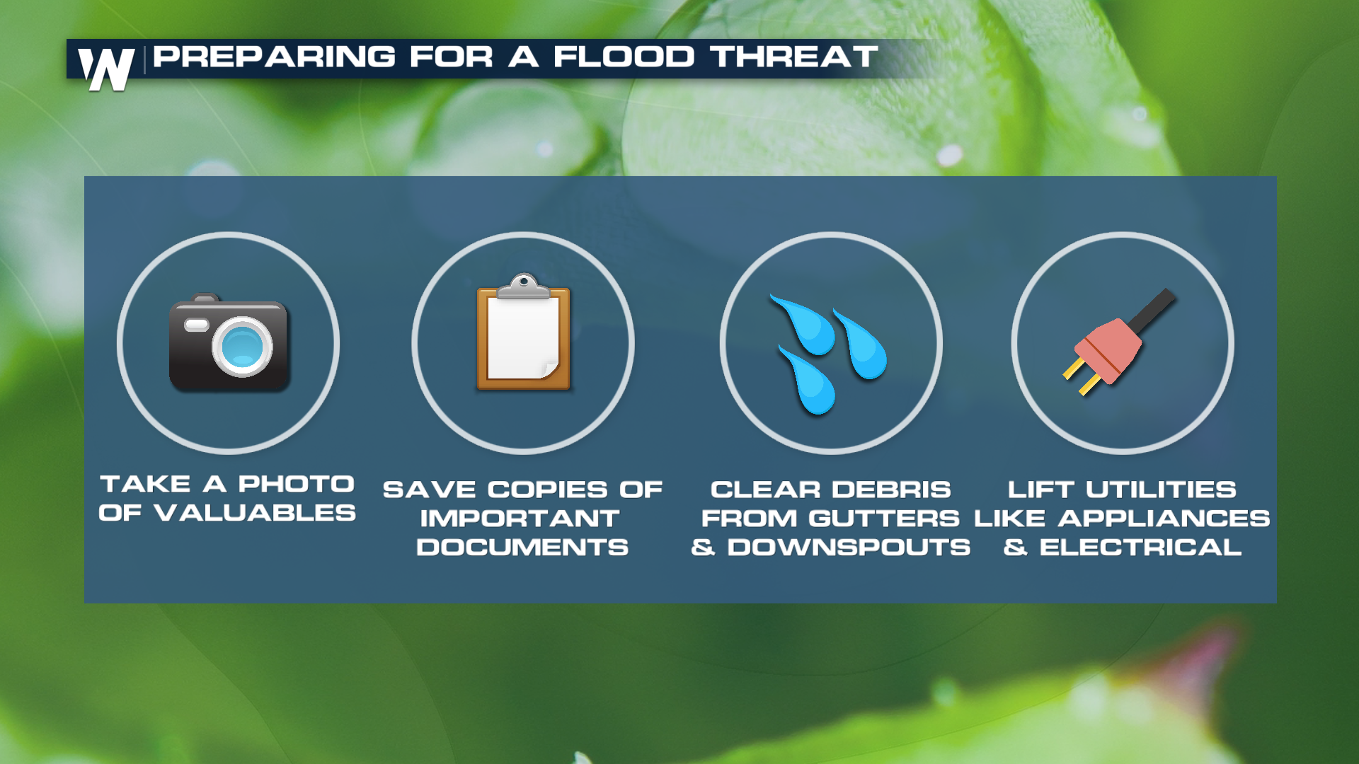
The time is now to prepare for flooding! Keep important documents in areas that will remain dry during a flood on your property, clear gutters and drainage areas, and make sure you're aware of the status of your flood insurance.