Severe Storms for the Eastern U.S. Friday and Saturday

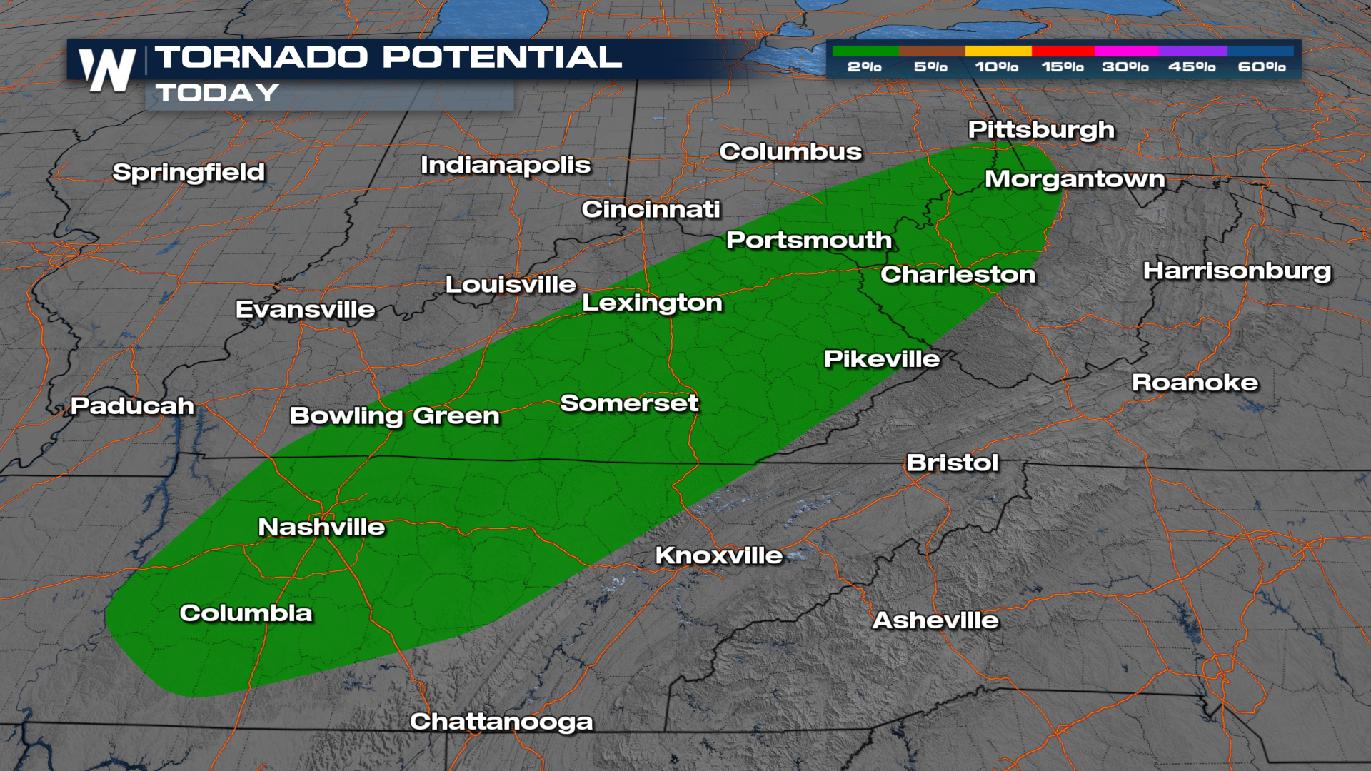
Back-to-back cold fronts will bring shower and thunderstorm chances to areas of the Ohio and Tennessee River Valleys on Friday. All modes of severe weather will be in the forecast, including the risk for tornadoes. Storms on Thursday created wind damage from New York to Tennessee, with a potential tornado in east Tennessee. Parts of Ohio and Kentucky are under the Slight risk for severe storms on Friday, meaning scattered severe storms will be in the forecast.
Severe Storm Outlooks
The risk on Friday (top of page) stretches from SW Pennsylvania to NE Texas. Wind is expected to be the most widespread hazard but hail is possible, in addition to a few tornadoes (below).
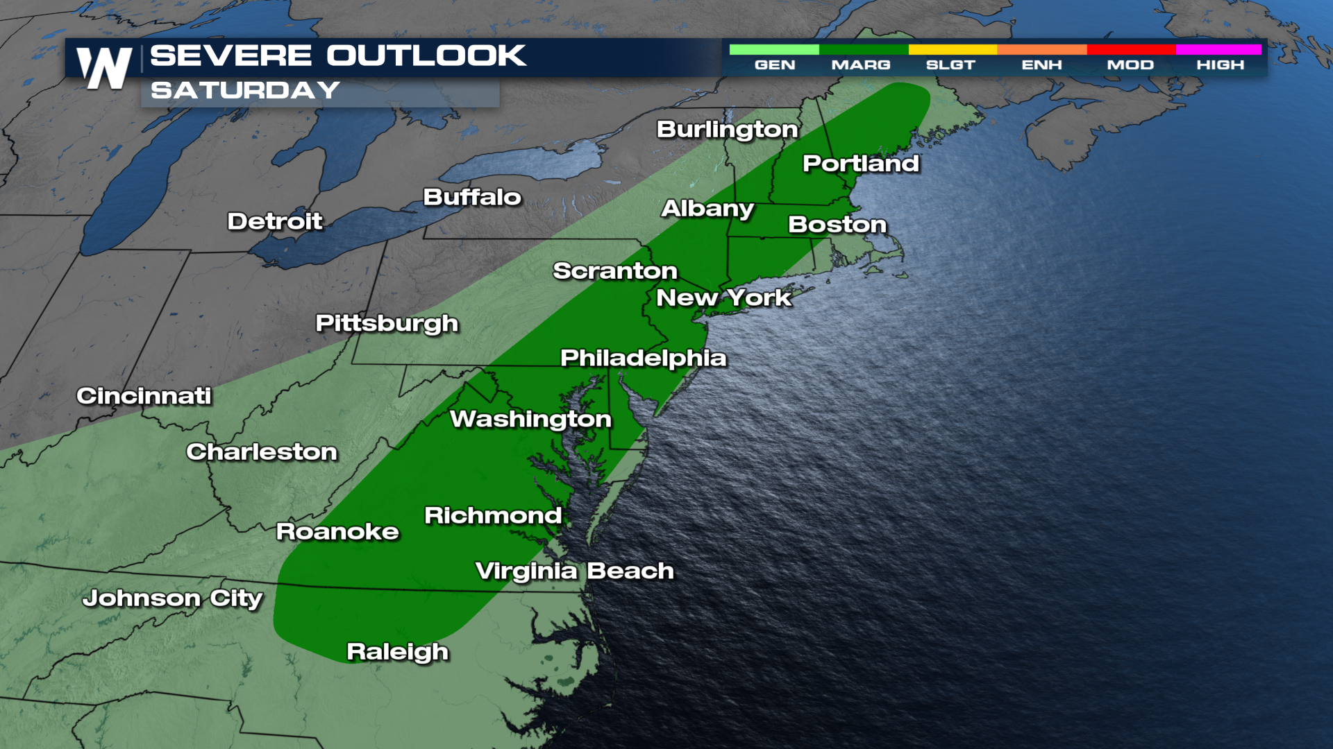
 Additional severe storms are possible on Saturday from Maine to North Carolina. This outlook may be extended even farther south so check back in for an update.
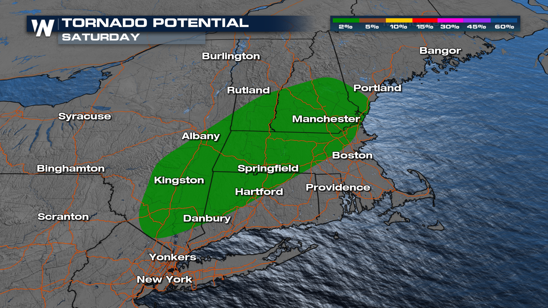
 While wind damage is expected to be the primary threat on Friday, an isolated tornado or two will be possible across Southern New England through the Hudson River Valley in New York.
FORECAST
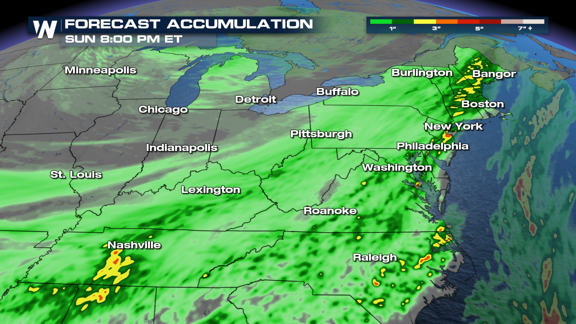
Severe storms are likely to initialize a bit later in the afternoon on Friday, around 3-4 pm CT, before moving east and gradually weakening after the sun goes down. Storms are likely to gain intensity earlier on Saturday, possibly before noon in northern New England, before strong storms spread south along the cold front during the afternoon and evening. We currently don't have a severe weather outlook for Sunday, but areas along the coast of North Carolina and Massachusetts (Cape and the Islands) could see a few severe storms early Sunday.
Rainfall totals could surpass 2-4 inches in a few areas, posing the threat for localized flooding.
 WeatherNation will have more updates online and on-air through the day on Friday.


