Lake Effect Maching May Fire Up Midweek

We've got a party getting started in the midweek with a strong low building in and heading east. It'll bring some heavy rain and maybe even snow to the Northeast, more on that here. Across the Great Lakes however, we could be talking a different kind of setup.
It goes without saying, we'll see a pretty big cooldown once this system kicks on out of here.
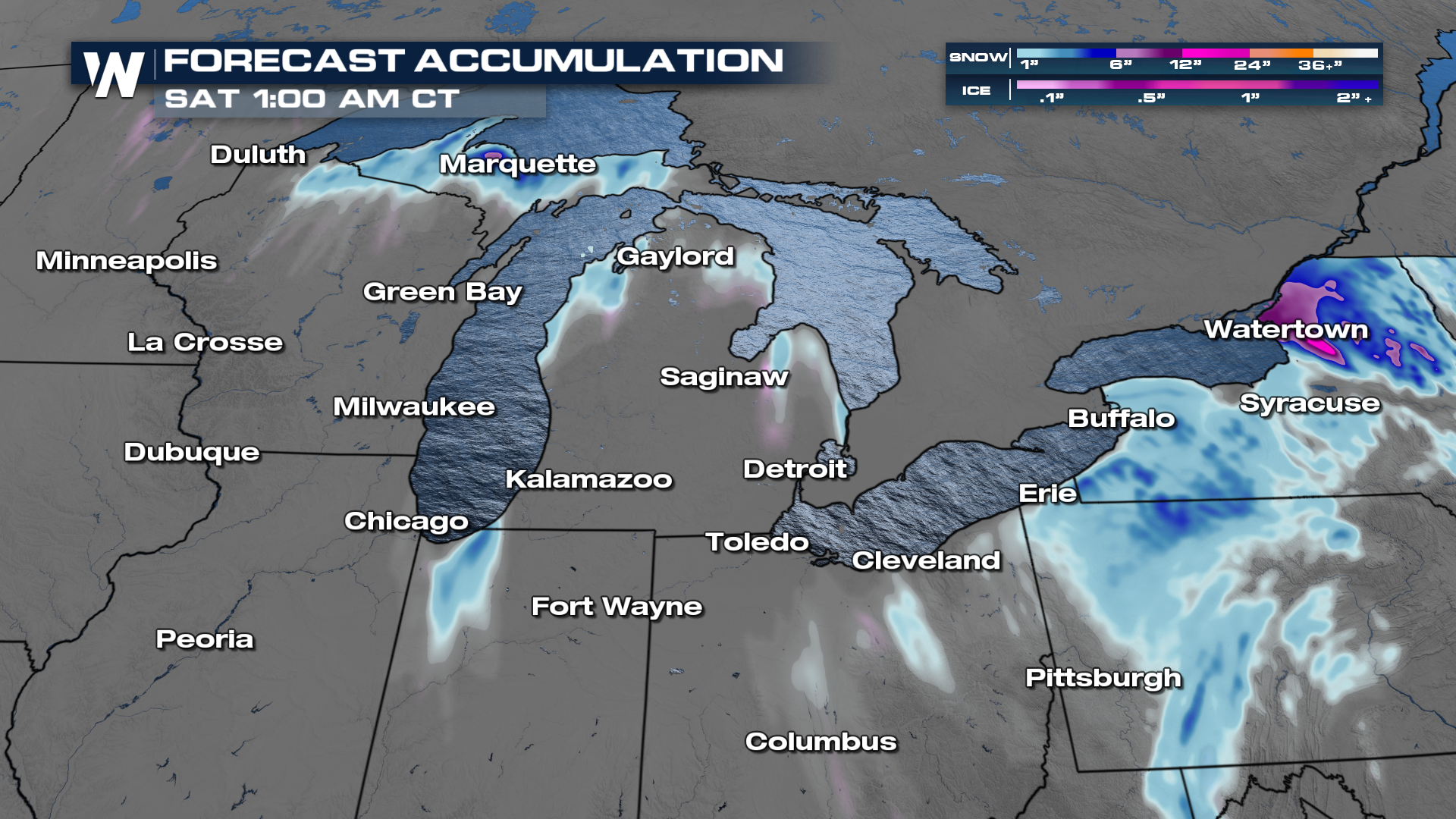
If you get far enough north, we could be dealing with some of that lake effect stuff into the midweek. Moisture is expected to linger long enough to get some decent totals across the Upper Peninsula of Michigan! We could see up to 6"!
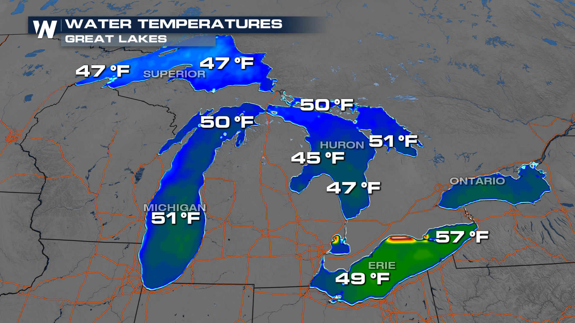
Lake water temperatures themselves are also cooler to the north. They're warm enough but the setup itself isn't going to lend itself much to a widespread lake effect event. It'll likely stay more isolated.
Stay tuned to the forecast here on WeatherNation. We've got you covered!


