New Area to Monitor in the Atlantic

Early in the season, we watch closer to the coasts here at home for development in the Hurricane Season. Until the waves coming off the coast of Africa start to fly and quit losing the battle to Saharan Dust, old fronts are the leading source of development.
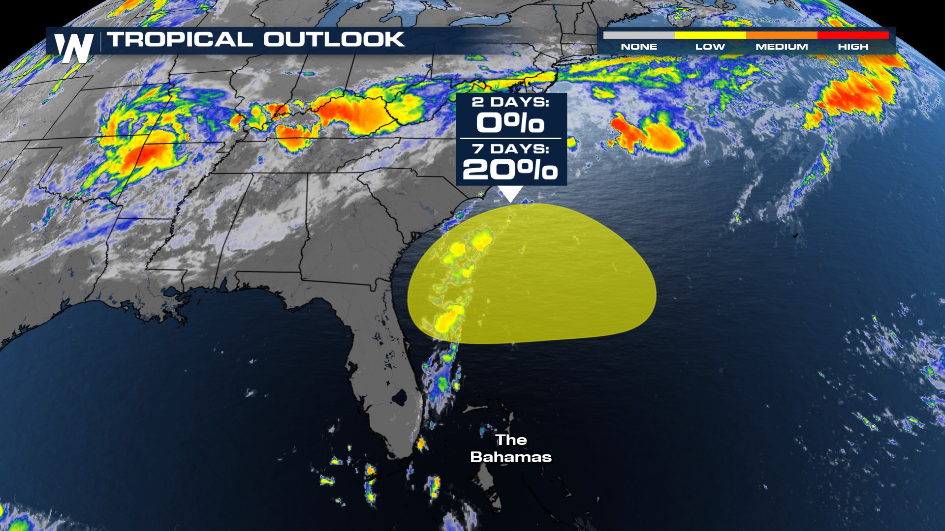
The frontal boundary that is slowly taking it's time to move through the southeast will eventually exit offshore early next week. Some models handle the process differently, but the one that leans more toward development is the European model. Here, it forms an area of low pressure around Monday and lingers offshore through the middle of the week. A longer time over water will give it a better chance to develop tropical characteristics.
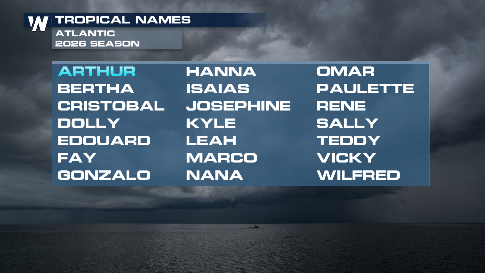
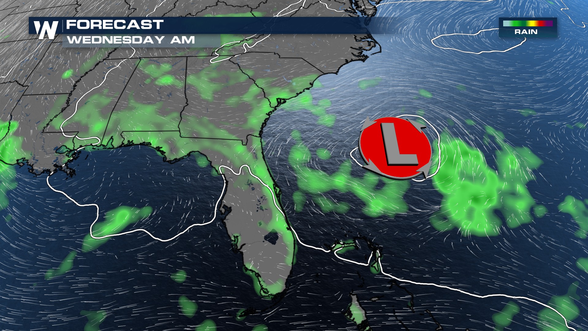 Other models move whatever develops over the water back on land prior to anything becoming tropical. IF something were to be named, Bertha is the next name up on the list.