Nor'Easter Riles up the Waves This Week

SETUP
An upper-level low is in the process of breaking off from the flow aloft. This will help spin up an area of low-pressure at the surface that will largely be stationary for this week. That could buy it enough time to acquire subtropical characteristics sometime this week. Regardless, the impacts will be felt, especially along the coasts.
IMPACTS
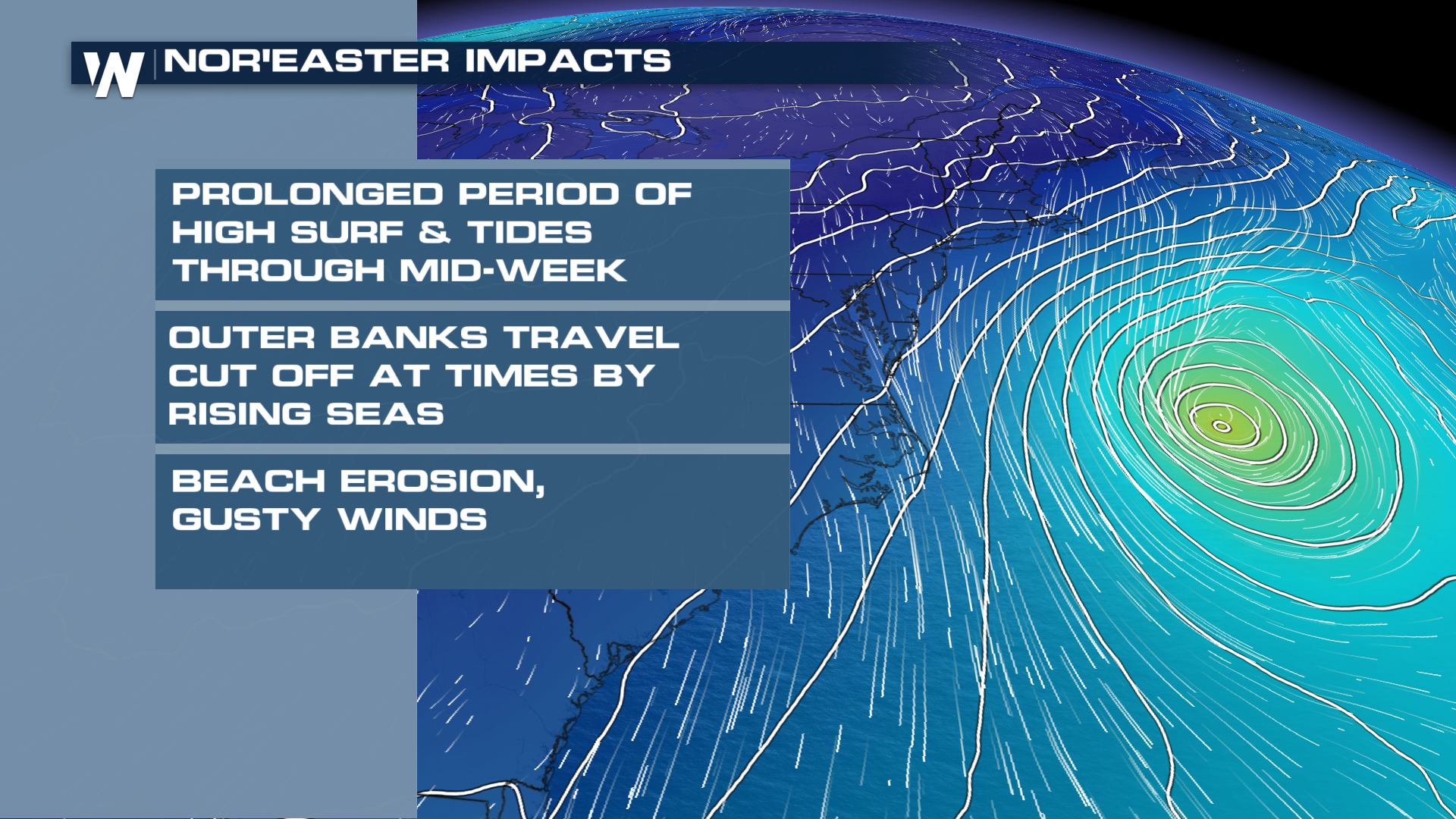
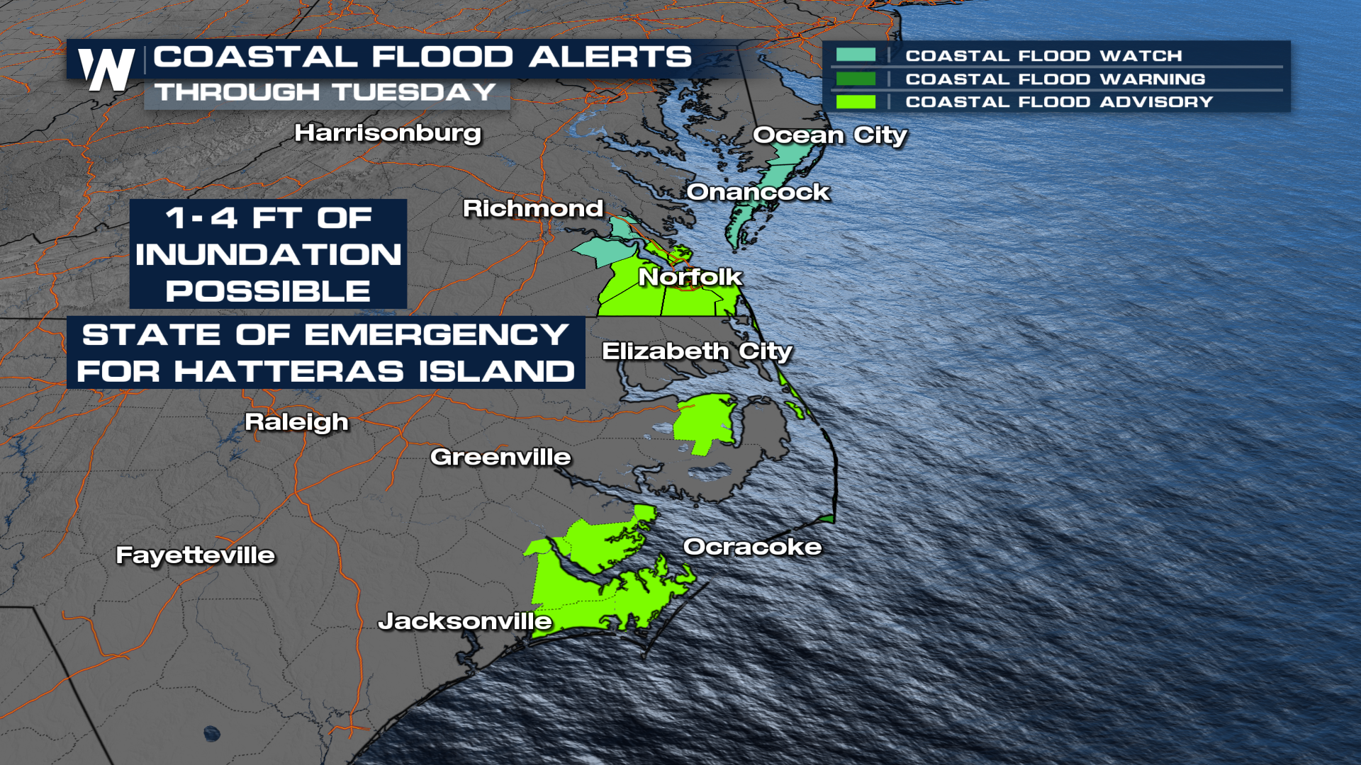
High winds with a stubborn low will wear down many beaches along the eastern seaboard. What's of most concern are the beaches in North Carolina, which stick out farthest and places like Virginia who will have to endure days of breezy winds agitating the seas. Waves of 10-15 feet can be expected, which will help push a few feet of seawater onshore into normally dry stretches of the coast.
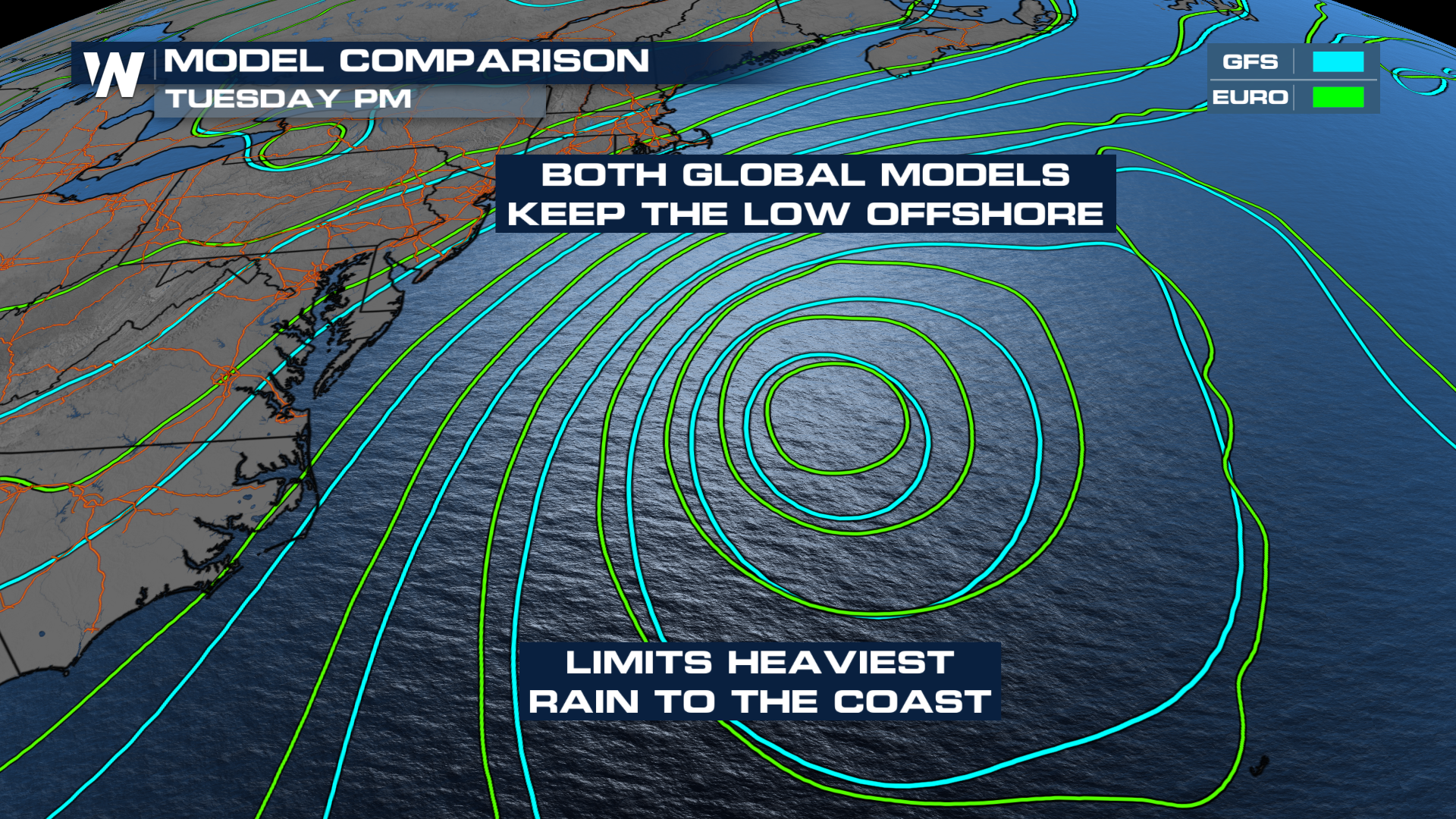
 Wind gusts could reach 40-50 mph at times throughout the week as well. The questions about rainfall hinge on the location of the low. At this time, only areas along the coast could get a few showers, with the best chance looking like Monday.
JOSEPHINE? IS THAT YOU?
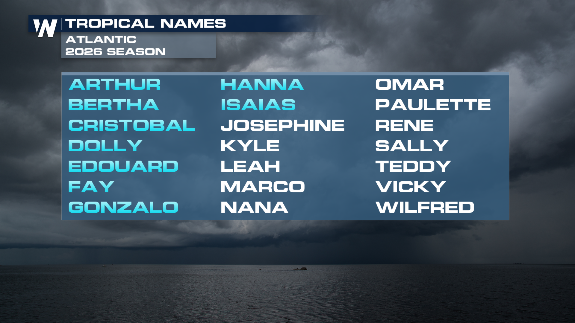
But if the low develops some tropical characteristics, it would need a name. Josephine is the next name on the list in the Atlantic basin. The NHC only gives it a LOW chance of development, which is more or less in line with the model data.
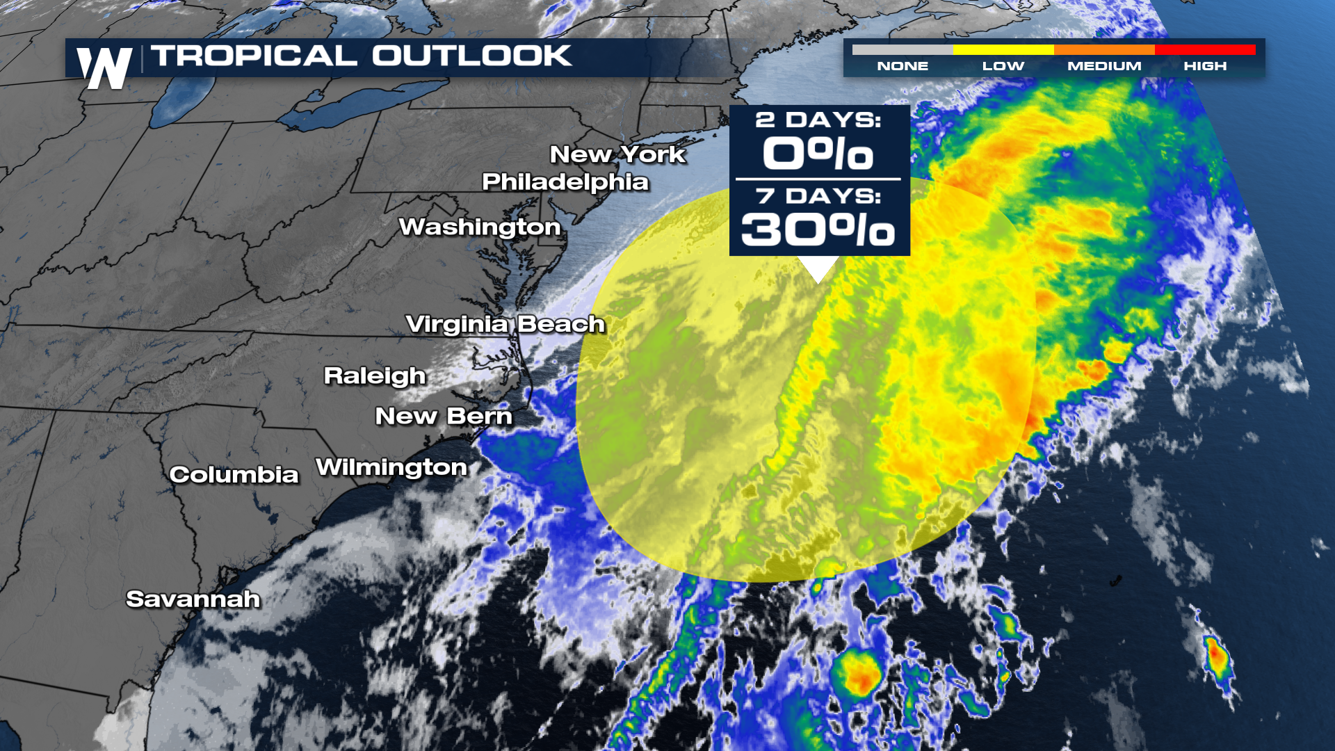
Right now, a majority of models struggle to develop the traits needed to qualify as a subtropical system, but that could change. Ultimately, the impacts won't change with or without officially naming it.