Q & A Session with NOAA's Chief of Tropical Analysis & Forecast Branch
What is TAFB?
The Tropical Analysis and Forecast Branch is a 24/7 operation with a staff of 18 meteorologists. We provide wind and waves forecasts encompassing 14 million square miles of open ocean of the eastern North and South Pacific and the North Atlantic Ocean, including the Caribbean Sea and the Gulf of Mexico.
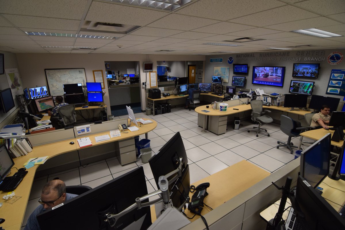
[Panoramic photo of the Tropical Analysis and Forecasting Branch (TAFB) on the campus of Florida International University in Miami, Florida. TAFB is co-located with the National Hurricane Center and the National Weather Service Miami local forecast office. (NOAA)]
I’m not a sailor, what do these forecasts do for me?
If you’re taking a cruise over the tropical or subtropical waters of the eastern North and South Pacific or the North Atlantic basin, your captain and crew are using our forecasts. Many items in your home, from your morning cup of coffee, to your clothing, and most of your electronic devices have arrived on big merchant ships that sailed across the ocean. The crew on those ships use our forecasts as does the U.S. Coast Guard and private boats - basically, anyone traveling over the open ocean relies on TAFB.
What are the tools of the trade?
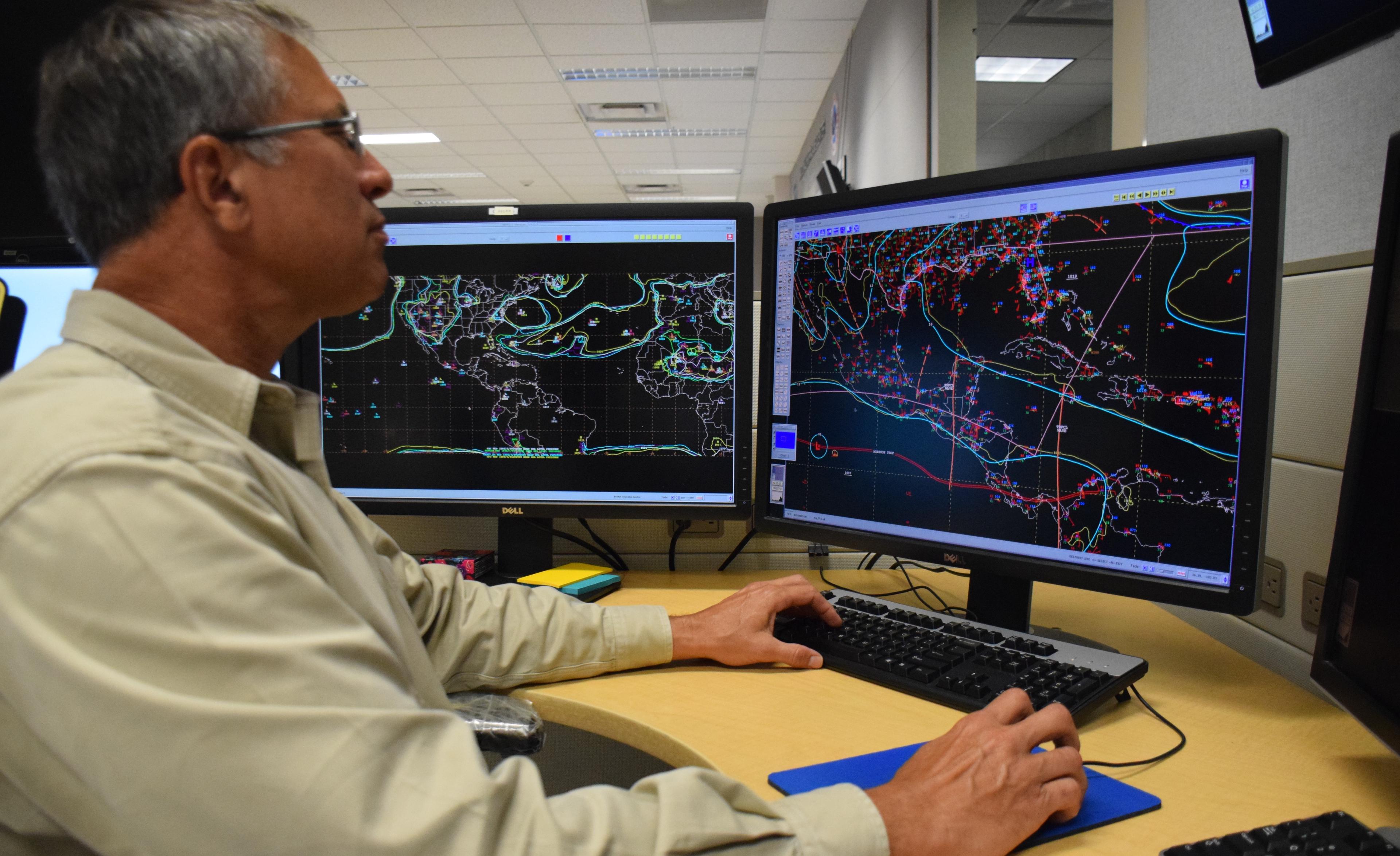
Measuring winds and waves is done both remotely and on location. Ships radio information back to us. There are buoysanchored to the ocean floor and some that drift, giving us continuous wind, wave, pressure and temperature information. NOAA operates a satellite, Jason-3, with a radar beam that bounces off the ocean surface and gives us the wave heights. All of this is used to analyze how big the waves are, which way they’re moving and how far they’re spaced out so that people on the open ocean know what kind of conditions to expect.
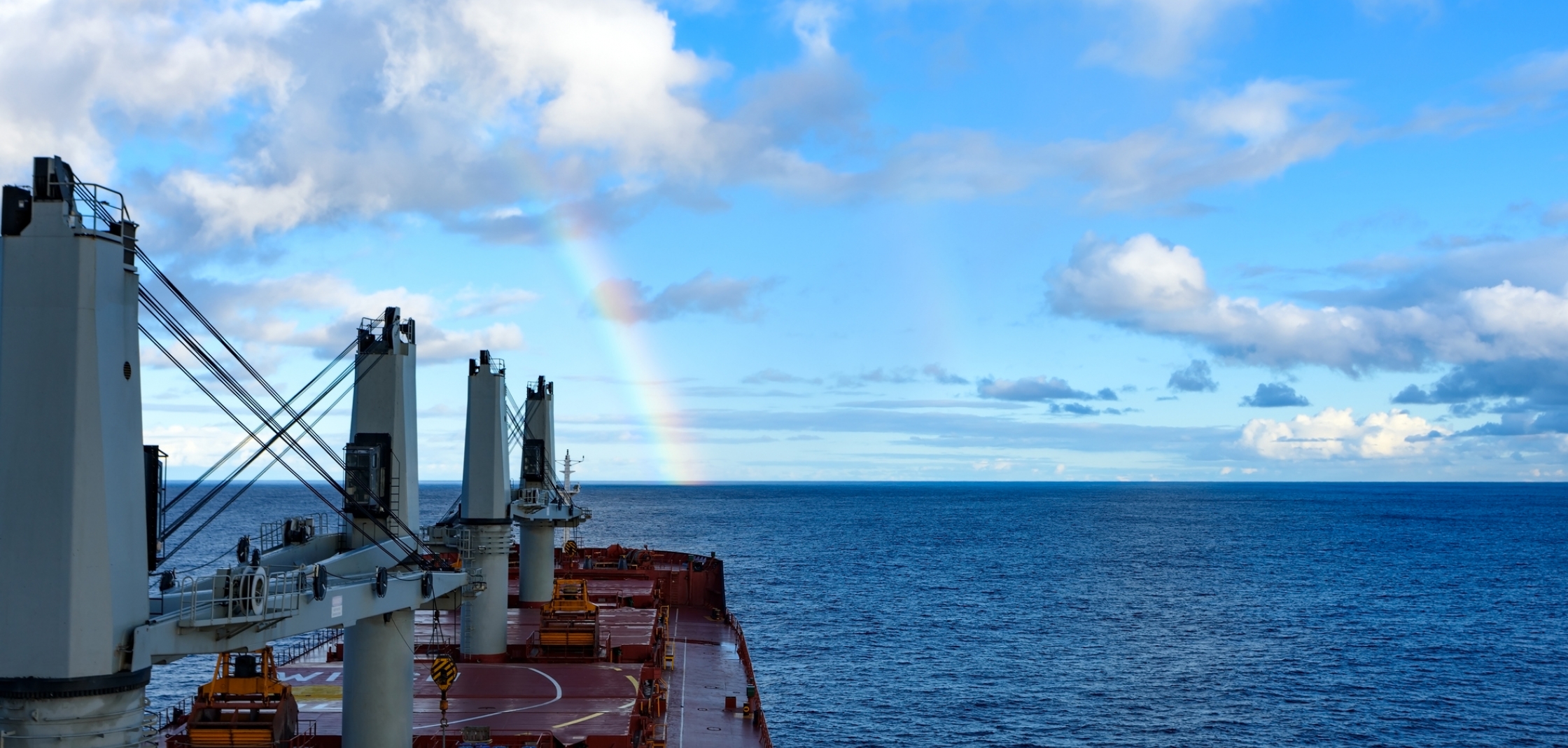
[A commercial cargo ship sails into calm waters. Istock photo via NOAA.]
How do ocean vessels get the forecasts?
It’s a combination of tried-and-true text products, graphics, and our experimental gridded information where, with just a few clicks, mariners can view wind, wave heights, and hazards forecasts out through 72 hours.
What the mariner receives depends on the communications gear on the vessel. The larger, more modern ships have high-speed internet, so the crew can easily get our full suite of products. For vessels with slower internet communications, it’s our marine composite webpage, which highlights in a quick downloadable fashion the winds and waves during the next three days along with the hazards. Mariners without internet access will likely have a receiver to get radio information, including voice and radio fax for straightforward graphics on the wind, waves, and hazards.
No matter how these forecasts are received, NOAA's TAFB is ready around-the-clock to provide the best possible information for those on the sea.
Edited for WeatherNation by Meteorologist Mace Michaels