A Tropical Depression Could Develop in Atlantic Late Week

A tropical disturbance in the eastern Atlantic has an 80% chance of becoming a tropical depression within the next seven days. The area of disorganized showers and thunderstorms near the Cabo Verde islands is drawing more attention, as conditions become increasingly favorable for storm development. According to the National Hurricane Center (NHC), this broad area of low pressure located just southwest of the Cabo Verde Islands is moving westward at around 15 mph.
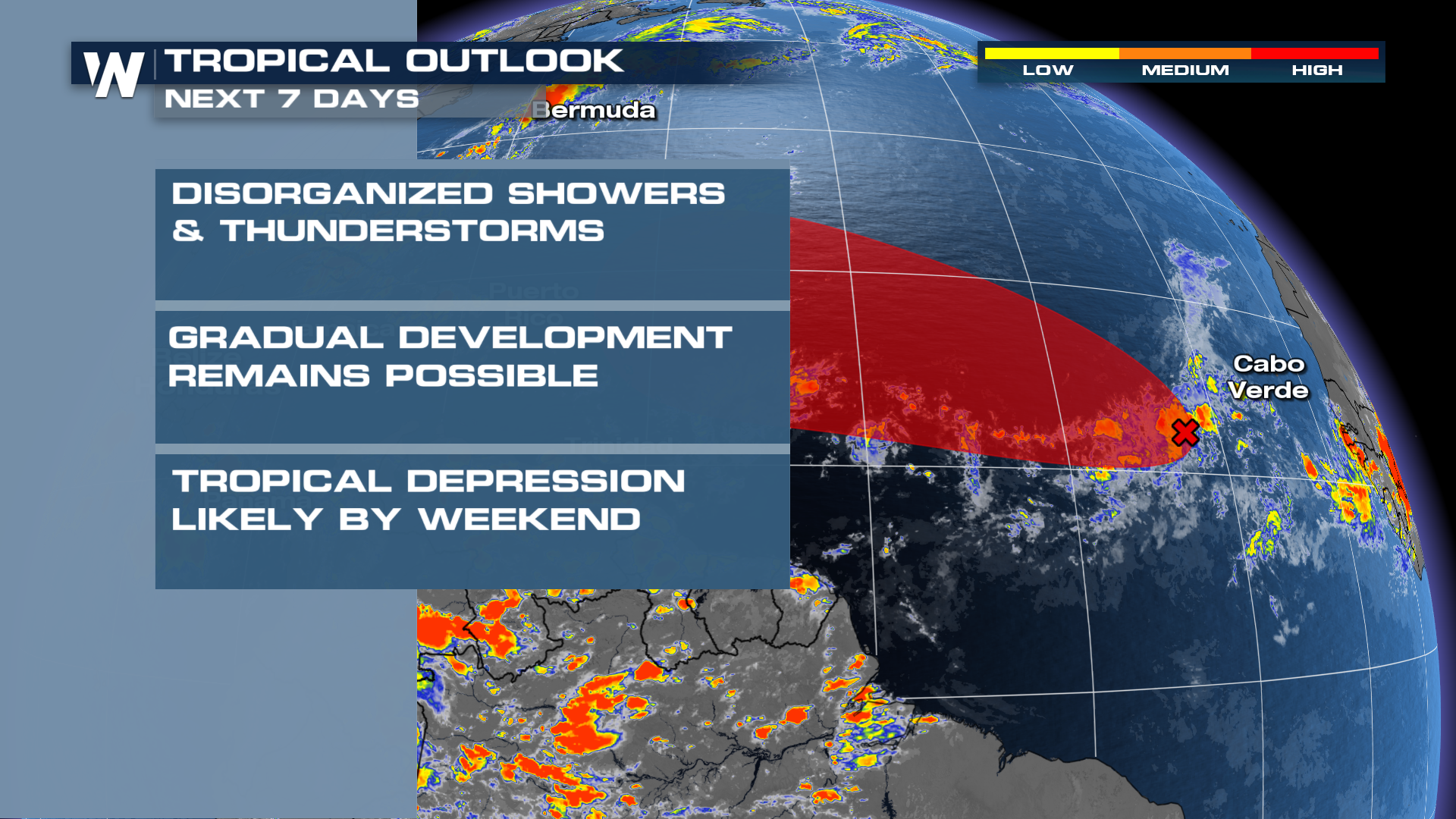
If development continues, the system would be classified as Tropical Depression Seven and could be named Tropical Storm Gabrielle by this weekend or early next week. Models are giving a strong indication that the system could gradually strengthen as it moves across warm waters in the central Atlantic.
However, as of now, it is still relatively far out to see where it could be headed. Different models have vastly different paths at this time. One model shows the storm remaining weak and drifting westward toward the Caribbean. Others depict it strengthening more rapidly and curving northward, influenced by a strong dip in the jet stream expected over the eastern United States later this week. The outcome will largely depend on how organized the system becomes in the coming days. Weaker storms are typically less responsive to steering currents, while more developed systems can be more accurately predicted.
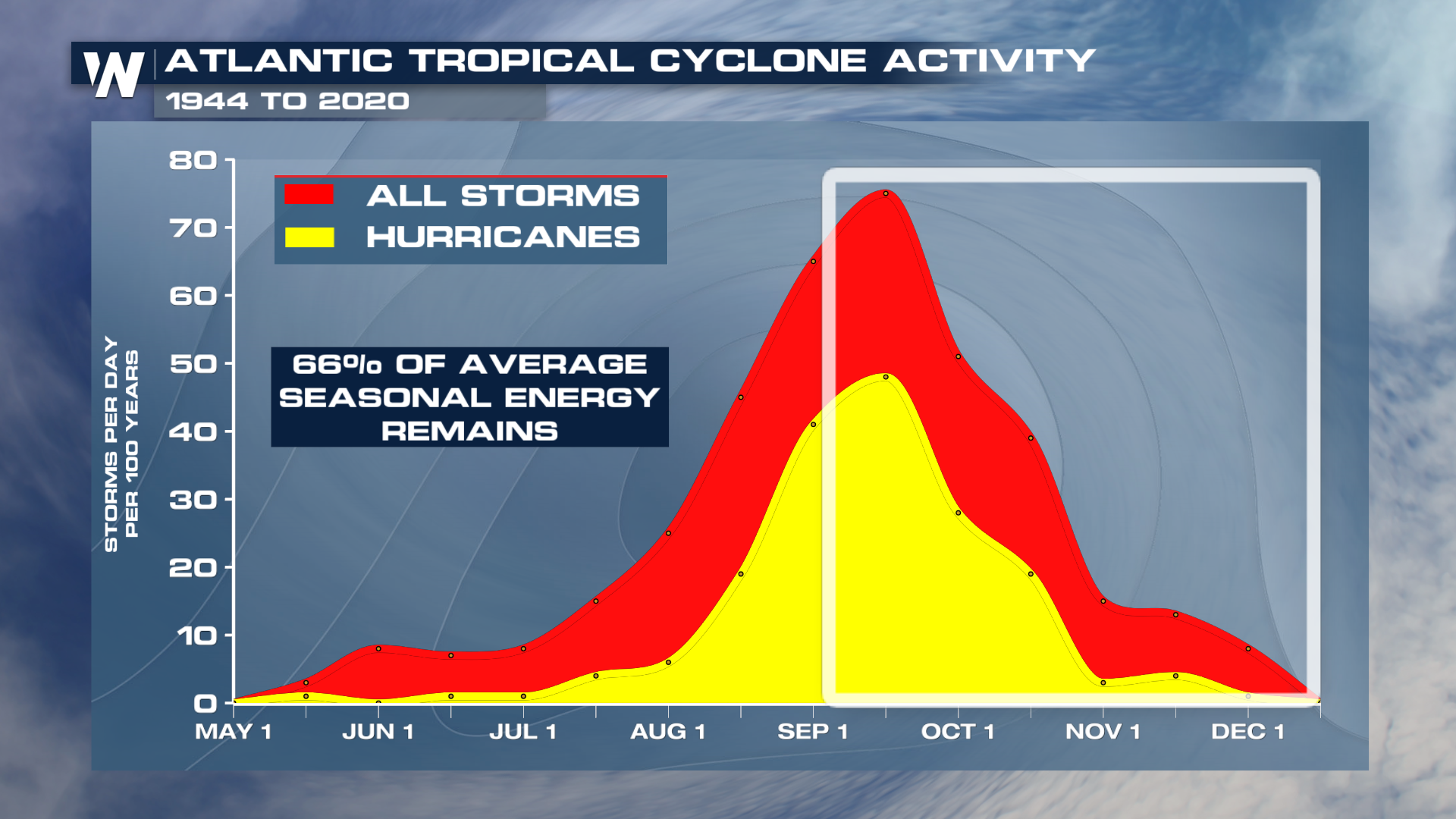
Do not let your guard down. September is historically the peak of hurricane season, and ocean conditions remain favorable for additional development. However, the NHC urges residents along the Atlantic basin to monitor updates closely.
As always, preparedness is key. Whether or not this particular system develops into a named storm, it serves as a reminder that the Atlantic remains active and that the window for tropical threats is far from closed. Tune into WeatherNation TV for the latest updates.


