Flooding & Severe Storms Continue to Pummel California

Intense rain and strong winds continue to pummel the Golden State as a strong low pressure system from the Pacific moves onshore. Dozens of flash flooding reports came in throughout the day Wednesday into Thursday, from the Bay area down to Los Angeles. Streets and homes have been impacted by flooding, including feet of pooling water which stranded motorists.
Flood Potential
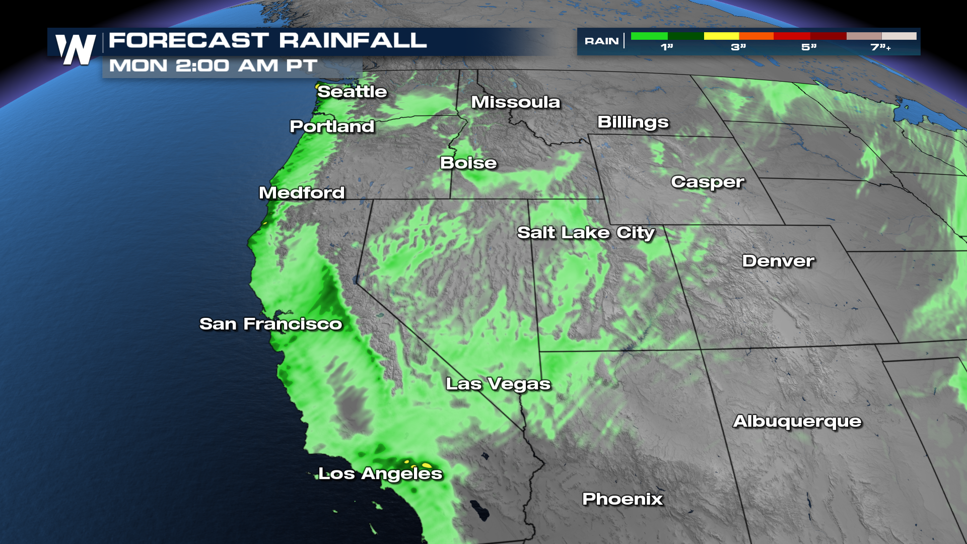
Additional heavy rain is in the forecast through Thursday, with rainfall rates fast enough to cause flash flooding. 1-3 inches are expected, but totals over 4" are not out of the question.
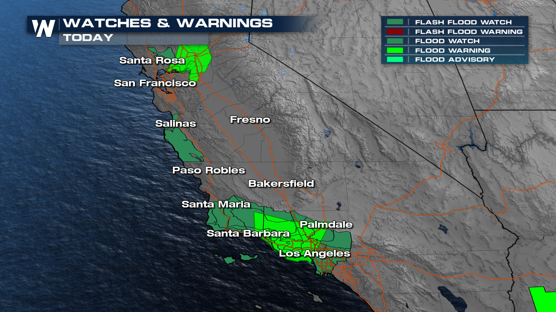
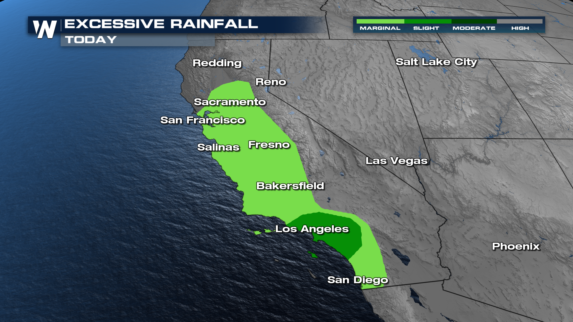 Flood watches and excessive rainfall outlooks have been issued, with the higher risk for flooding focused in Southern California on Thursday, especially around Los Angeles.
Forecast & Severe Storm Threat
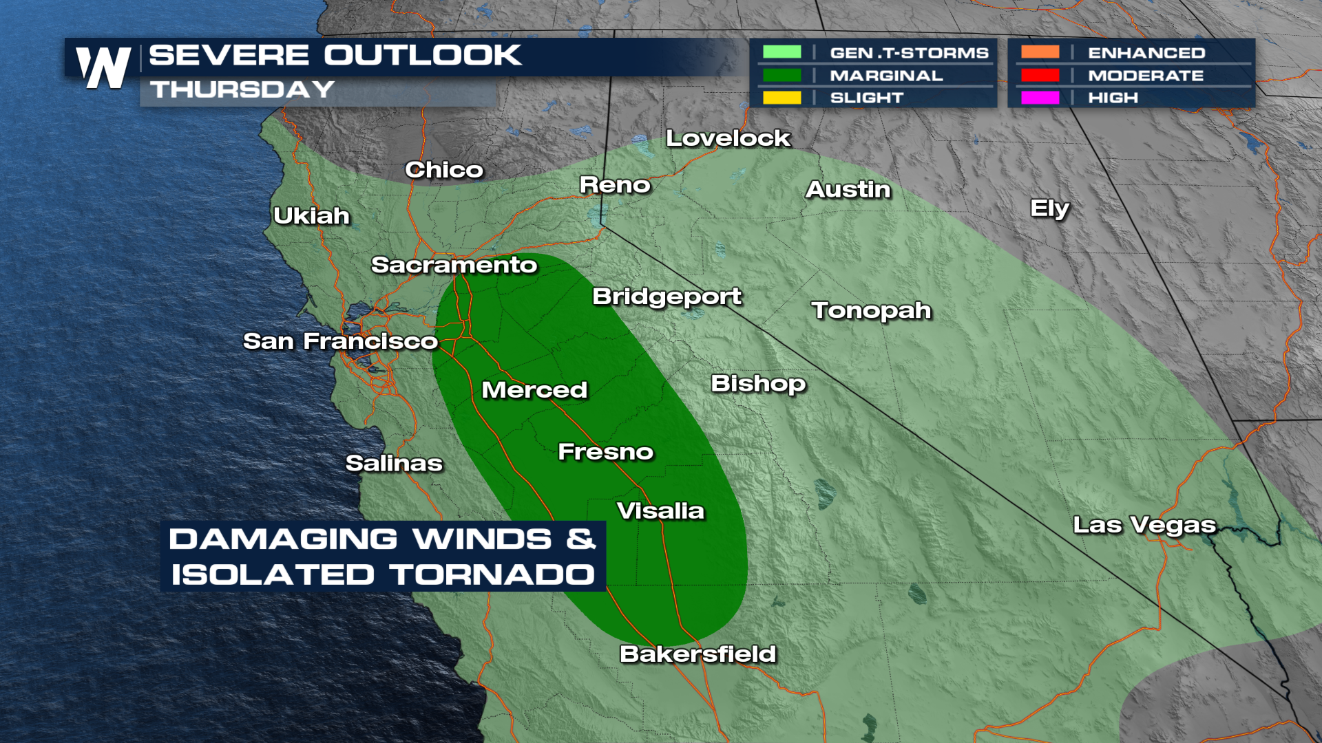
As the low moves onshore, lift and wind shear could create a few severe storms in the Central Valley, including an isolated tornado or two. Timing for the strongest storms is expected in the late morning through the early afternoon.
 The heaviest rain will continue to fall through the late afternoon before the low pressure center moves farther inland. Some isolated rain and snow showers will develop Friday around the Bay area up to Lake Tahoe. Another, weaker, system arrives Saturday to keep rain and snow chances in the forecast for Northern and parts of Central California.


