Storms Winding Down Across Northeast

WHAT TO EXPECT
Record rainfall has fallen across the Northeast. Bridgeport, CT, saw a daily rainfall record of 4.25" on Sunday! Multiple cities saw rainfall totals of 3-4 inches these past few days. Overnight, a few storms will be possible as the cold front moves through, but things will continue to taper off into the overnight hours.
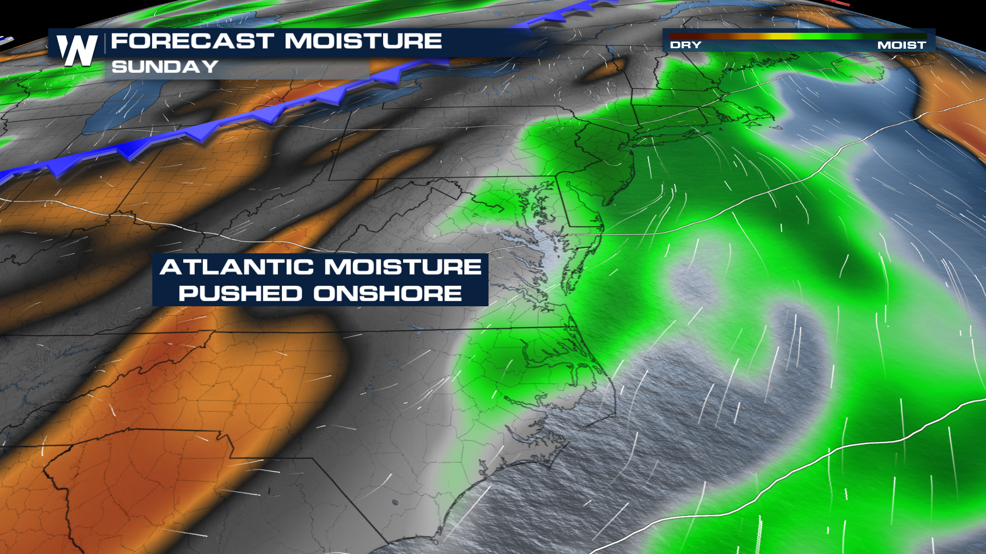 GENERAL THUNDERSTORMS
As a cold front works through, there is a general risk for thunderstorms overnight. This was downgraded by the SPC, as earlier on Sunday there was a severe threat. Now overnight, you can see a few storms and isolated heavy downpours.
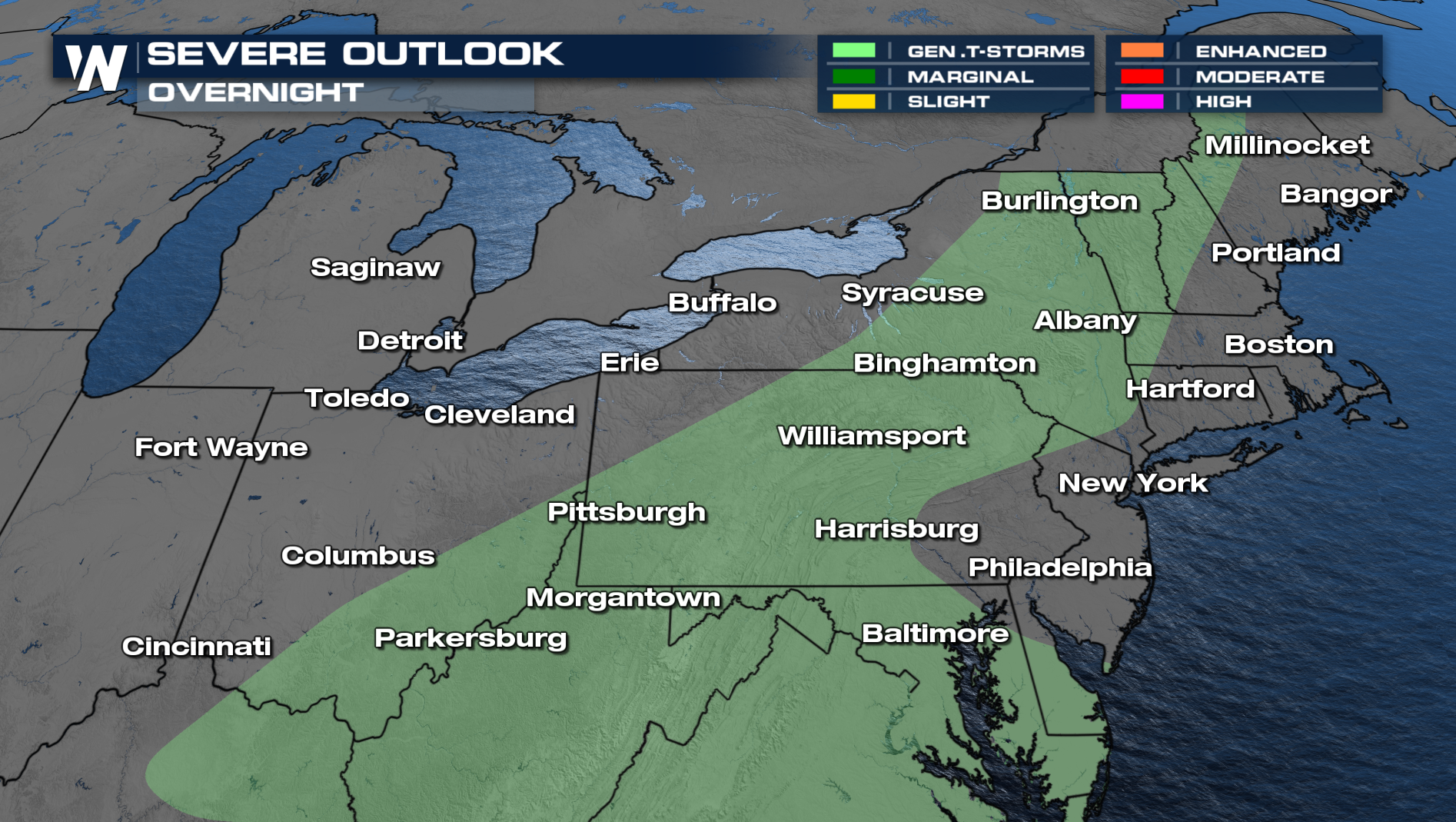
OVERNIGHT
As the frontal boundary moves through, there will be a few storms developing along it. Expect dry conditions for your morning commute.
For more on your eastern regional forecast tune in at :10 past the hour.


