Hurricane Center Watching Tropical Wave in the Atlantic

Aside from the two tropical storms that formed along the Gulf Coast, this year in the Atlantic has been fairly quiet. The lower than normal activity has been expected thanks to the major El Nino event that continues to build in the Pacific. While the season was expected to have less activity than normal, it doesn't mean the Atlantic will be devoid of tropical activity.
The National Hurricane Center issued an outlook Saturday morning off the West Coast of Africa in anticipation of a robust tropical wave that is expected to move off the African coast sometime Tuesday. Forecast models have been in solid agreement about the higher strength of this tropical wave and it's potential to develop, despite somewhat marginal environmental conditions.
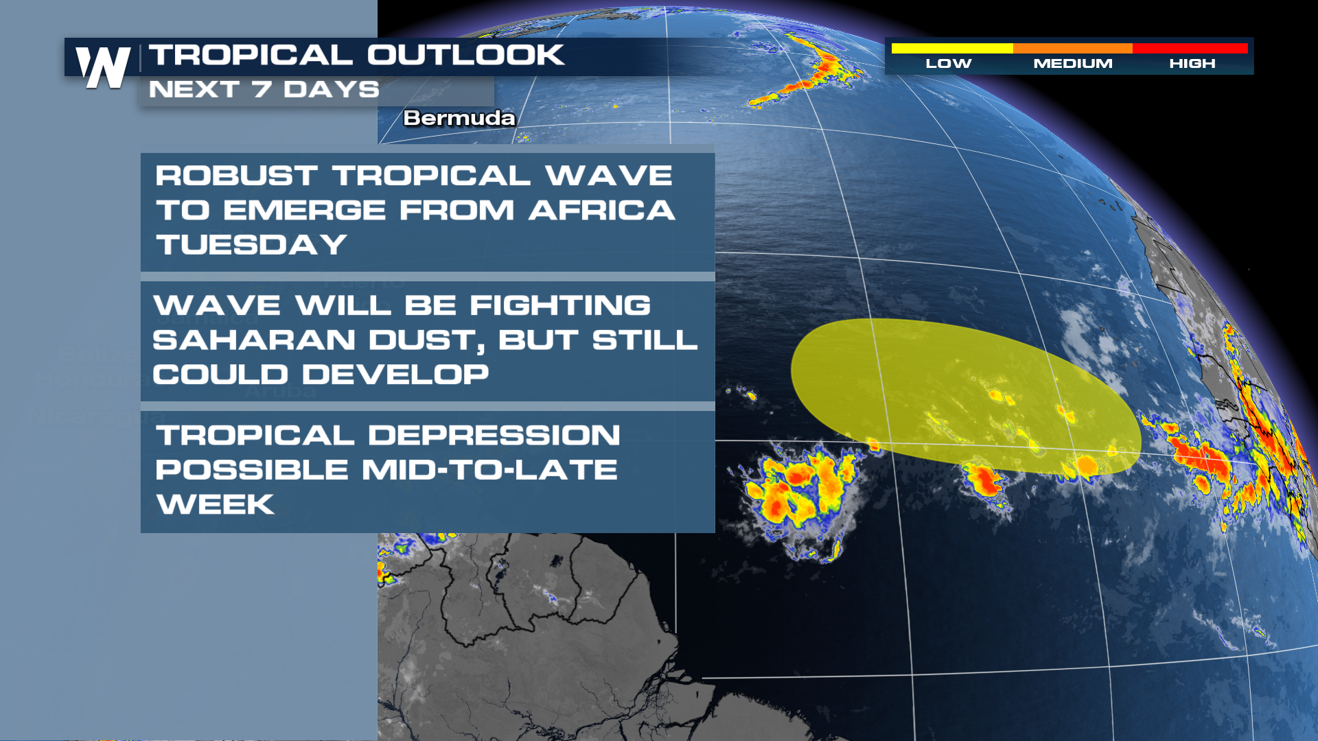
The NHC is giving the wave a low chance to develop over the next 7 days, but that could change as forecast factors become more clear. Both of the major global models (GFS & ECMWF) give the wave a decent chance to develop into a tropical depression or tropical storm. The wave will be fighting Saharan dust and near/below average sea surface temperatures, but may be able to find enough energy to get organized.
Forecast models in the long range take the wave north into the middle of the Atlantic, but with such long range forecasts there is little certainty to these solutions. People in the Caribbean and United States should be monitoring the progress of this system closely.
A big plume of Saharan dust has emerged recently from Africa, but the bulk of the dust may be north and west of the tropical wave.
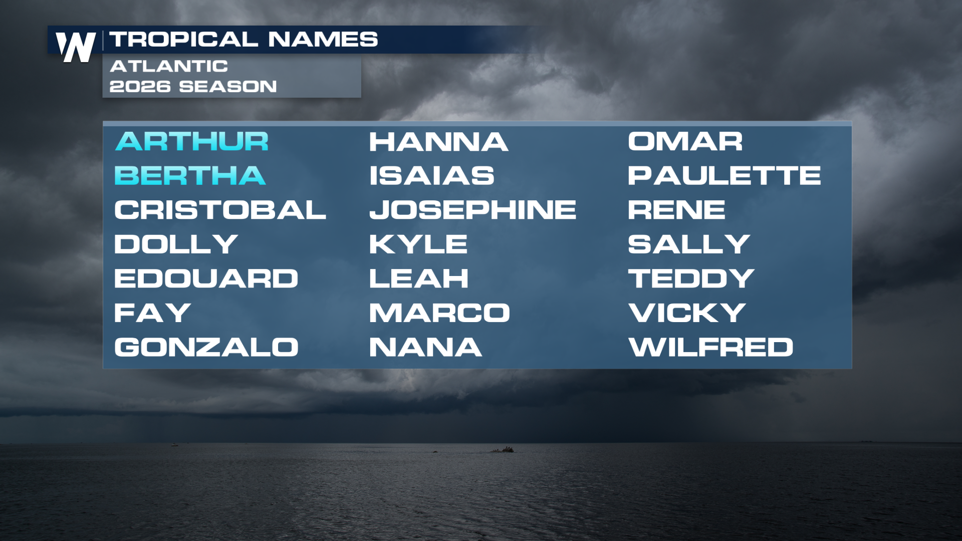
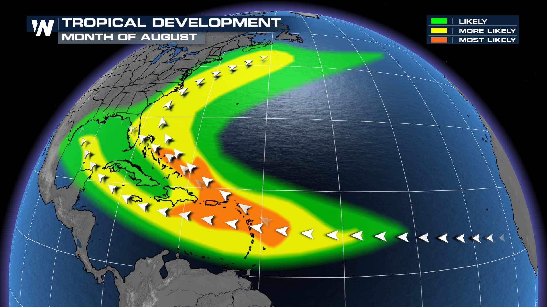
The next storm on the list in the Atlantic this season is Cristobal (Crees-to-bal). Development of tropical waves emerging from Africa tends to increase greatly from August into September.