Severe Threat Rolls Returns to the Ohio Valley

An interesting setup is rolling through the Midwest and Ohio Valleys this week. It's the spark that lights the fuse to the powerful system bringing some snow chances out east.
RELATED: Latest on the snow chances this week
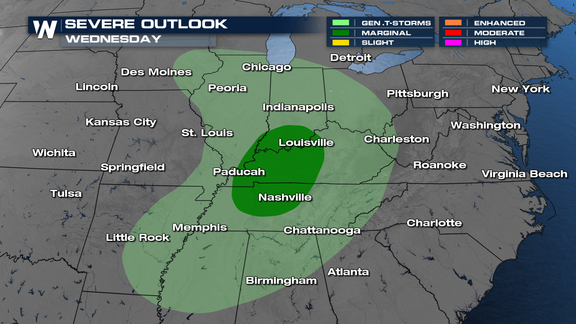
As it's getting setup, however, severe storms will be possible over the heartland on Wednesday.
SETUP
A fast-moving disturbance will ripple through the middle of the week. That will be enough to trigger storms by the afternoon on Wednesday. Because it is such a potent disturbance, the storms feel like a relatively safe bet. There are more questions about where storms will fire, with some models liking areas north of the marginal outlook issued by the Storm Prediction Center.
IMPACTS
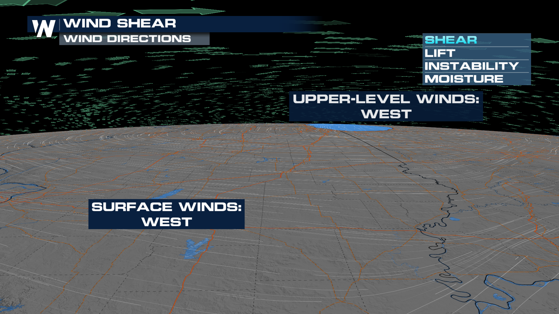
Damaging winds are the biggest concern; There is plenty of wind shear to organize storms, but not enough directional change in the winds to be concerned about a tornado or two right now.
TIMING
With a fairly fast-moving system, these storms will be in and out of here pretty quickly. The severe window looks to shut shortly after sunset on Wednesday.


