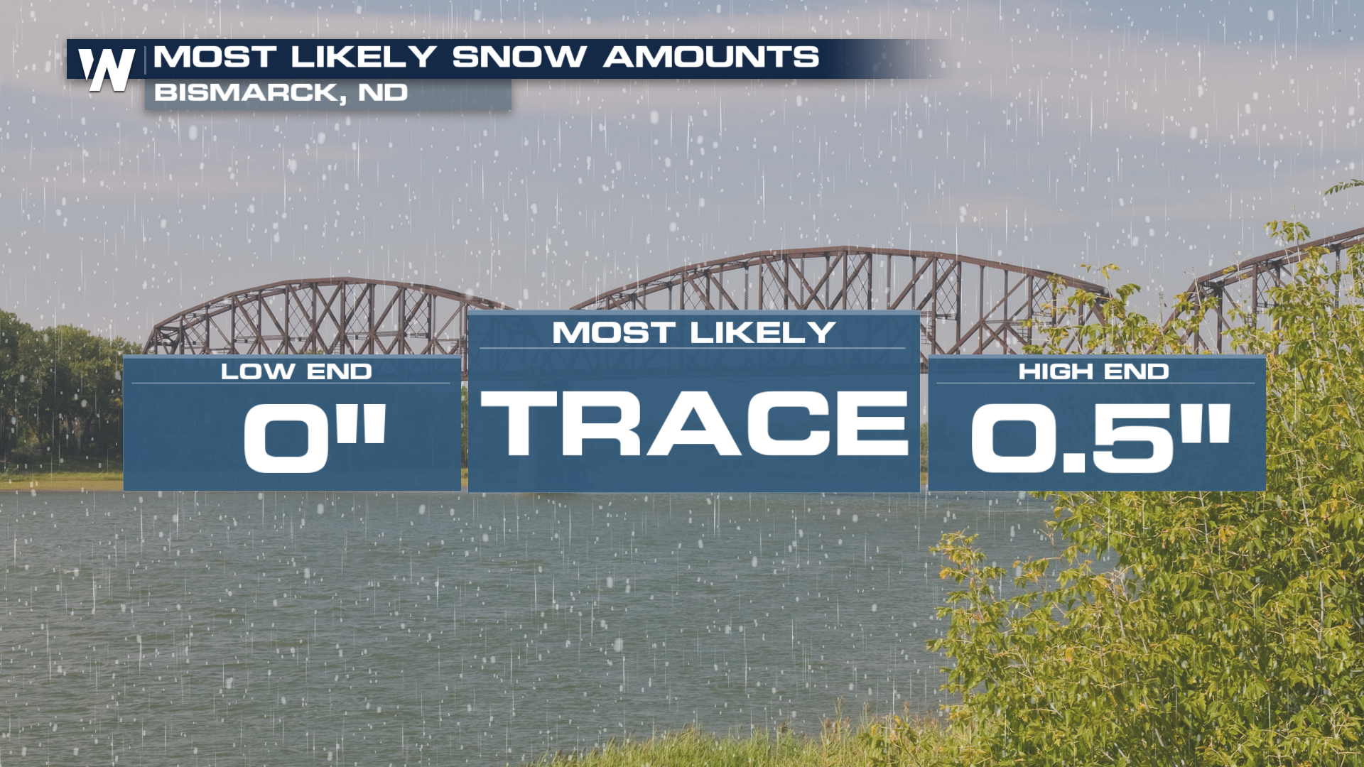
Mount Slushmore? Taking a look at Dakota Snow Chances

The cooler weather is finding places to go finally! It's that time of year to look ahead to any chance of flakes we get!! This one might get more hopes up of turning Mount Rushmore into Mount Slushmore. Let's talk about it...
SETUP
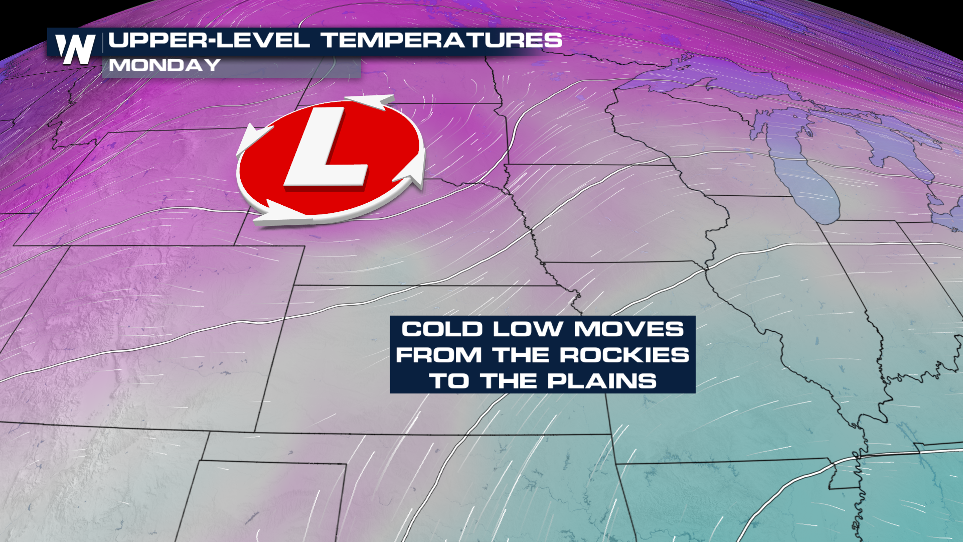
A cold front has dropped temperatures from record territory into an area where we could get back to freezing. We won't stay below freezing all day, which starts to complicate matters. Moisture has been streaming in behind this front, pouring out of the Four Corners region. As the core of this upper-level low moves in and drops temperatures that much more, we could change some rain over to snow (top).
PROBLEMS
However, there are a few issues with what some models are projecting (2+" of snow).
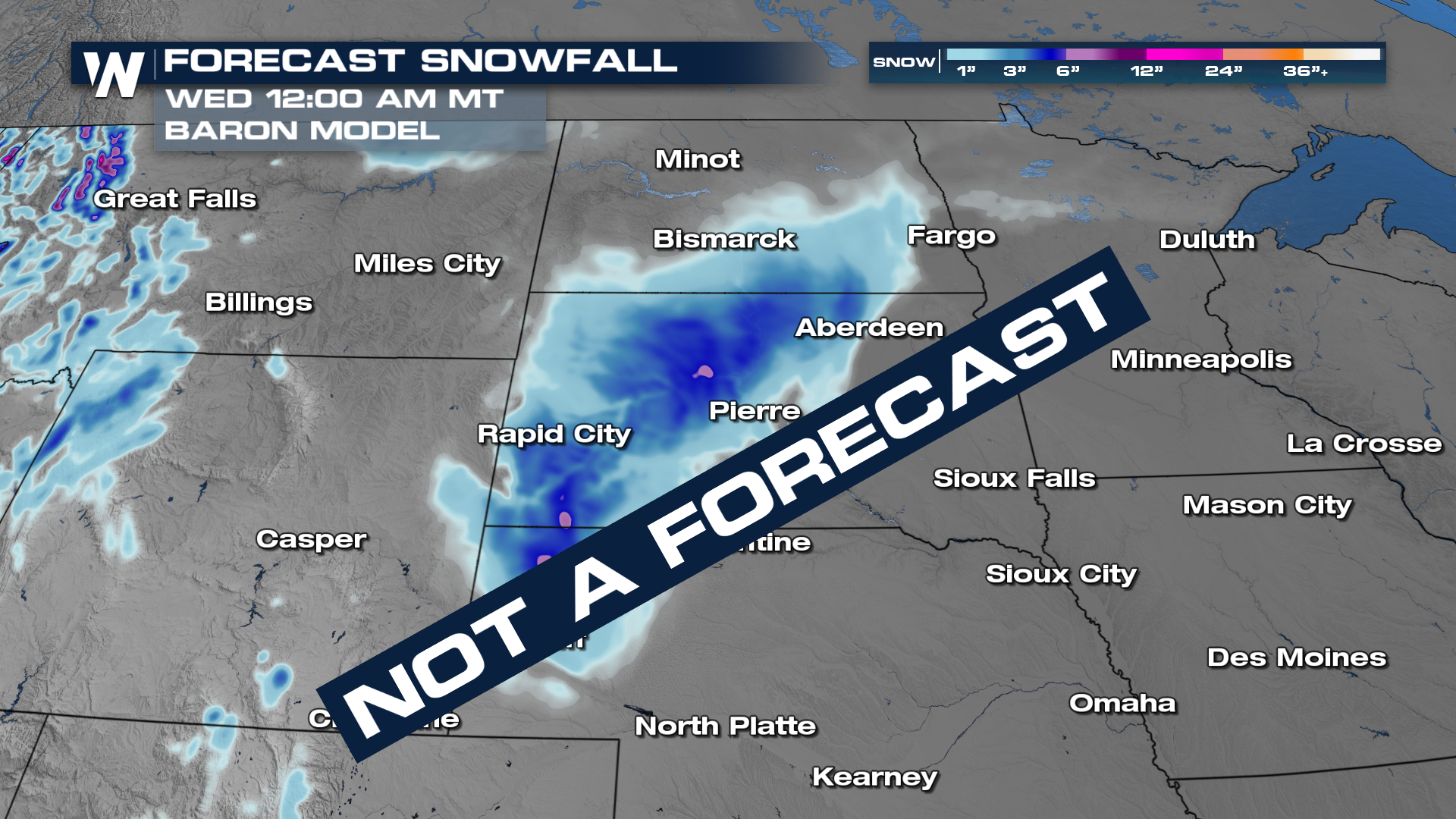
Temperatures won't get all the way or well below freezing
Snowing during daylight hours is tough to accumulate. Even though the sun won't be "shining" it adds energy to the atmosphere making it harder for snow to stick while it's up.
Rain and snow falling together makes it harder for the snow to stick. Falling raindrops will either melt the snow itself, or leave puddling behind which melts falling snowflakes.
RESULT
Just because temperatures are in the vicinity of freezing, not all snowy setups are created equal. If this were a month or two later with a lower sun angle and slightly cooler temperatures, we could be cooking with gas! But alas, rain will mix with snow throughout the day, trying to accumulate on grassy, elevated surfaces. We might get lucky and pick up an inch in a spot or two, but it's going to be an uphill battle.