In Need of A Warming Center, Here is Info That Can Help
Special Stories
3 Jan 2018 5:18 AM
From FEMA:
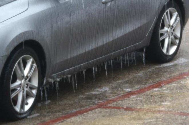
Some parts of the country experience brutally cold conditions during winter months. When the
mercury dips, many communities open warming centers to help people with heating problems escape
the frigid weather.
Warming centers can be found in your area library, police station, senior center or school.
Operating hours and accommodations at warming facilities vary; so check with the facility before you
go. It’s a good idea to bring your disaster supply kit with you. Items in your kit can make your visit to
warming centers more comfortable, especially if your visit extends for several days.
Many open centers coordinate with the federally mandated phone information system to communicate
availability information. Locate a warming center near you by calling 2-1-1 or 3-1-1. You can also use
these services to request a well-being check for someone who may be suffering from extreme weather,
reporting inadequate heating in a residential building and more.
Another way to find shelters is through FEMA’s text message program. Just text SHELTER and your zip
code to 43362 (4FEMA).
All Weather News
More
Fronts Continue To Spark Severe Weather Across the Plains
A cold front that brought record lows to the
18 Jul 2025 10:40 PM

Extreme Heat Impacts for the East Coast & South
Extreme heat continues to impact several area
18 Jul 2025 10:05 PM

Flooding Threat Remains Elevated in the East
A cold front pushing through the Eastern Seab
18 Jul 2025 9:10 PM

EF-2 Firenado from the Deer Creek Fire in Utah
A fire tornado was spotted near La Sal, Utah
18 Jul 2025 7:30 AM

Tropical System Brings Flood Risk to the Central Gulf
Time has run out for notable tropical develop
18 Jul 2025 3:05 AM

Heavy Rain, Flooding Threat Returns to Florida
Keep the rain boots handy in Florida - heavy
13 Jul 2025 12:50 PM

Severe Storm Risk Pushes into the Great Lakes, Ohio Valley
Friday was another busy day with severe weath
12 Jul 2025 8:00 PM