February to April Outlook - Warmth Ahead
Special Stories
27 Jan 2021 2:00 AM
[Crossing a snowy bridge. From pixabay via NOAA]
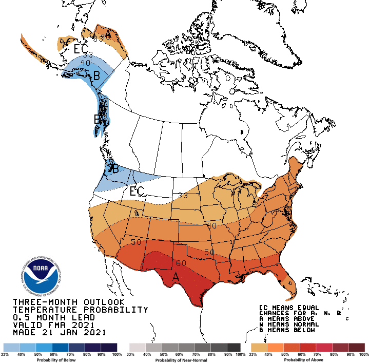
Last week, NOAA's Climate Prediction Center (CPC) issued the outlook for February through April. As seen in previous outlooks, above average temperatures are highlighted for most of the nation. Areas from the Southwest through the Plains to the East Coast are expected to see a warmer than normal month. Colder than normal weather is forecast in the Pacific Northwest.
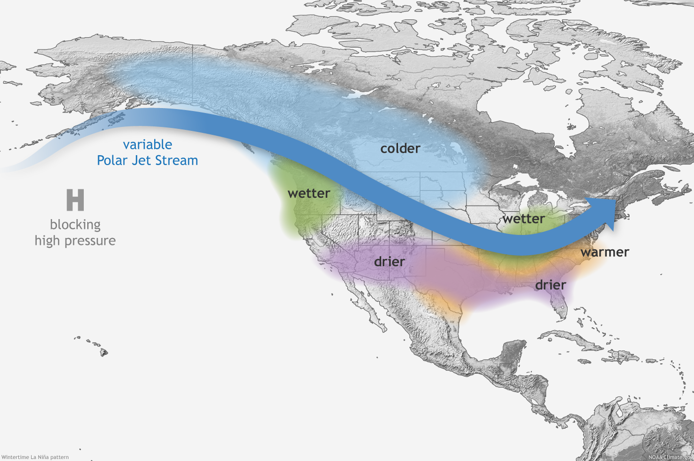
 An active weather pattern may be ahead for the northern tier of the nation, where above normal precipitation is expected from the Northwest to the Great Lakes and Ohio Valley. Drier than average weather is in the forecast across southern sections of the country from the Southwest to the Southeast. This will contribute to drought conditions persisting in the Southwest and portions of the Plains. Drought development is likely in the Southeast.
https://twitter.com/NWS/status/1352360257901776897
La Nina conditions are present in the Pacific and further strengthening is expected. Those observations are the driving force behind the trends for the February to April outlook. The CPC states that La Nina conditions are being observed in the Pacific Ocean and are expected into early next year. La Nina was discussed last week by the CPC with an La Nina Advisory continuing. Computer model forecasts and recent global pattern trends were also used to determine the 90 day forecast.

All Weather News
More