Severe Storms Shift East on Saturday

The cold front that generated the severe storms in the Midwest and Southern Plains on Friday will keep moving east into the Ohio Valley on Saturday. The front will interact with more unstable and showers and storms could quickly turn severe. Not many severe warnings as the threat has been lowered to a Marginal. However, the biggest threat will be gusty winds.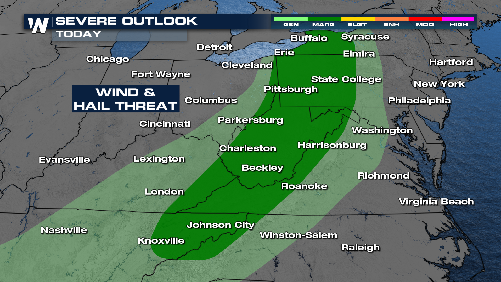
Timing
The cold front continue eastward towards the Interstate 95 region into the nighttime hours. Rain and snow (yes, snow) will shift farther east on Sunday with the front, keeping precipitation in the forecast for quite a few east coast residents.
Rain totals could surpass an inch or two, especially form western PA into NY. Isolated flooding is possible.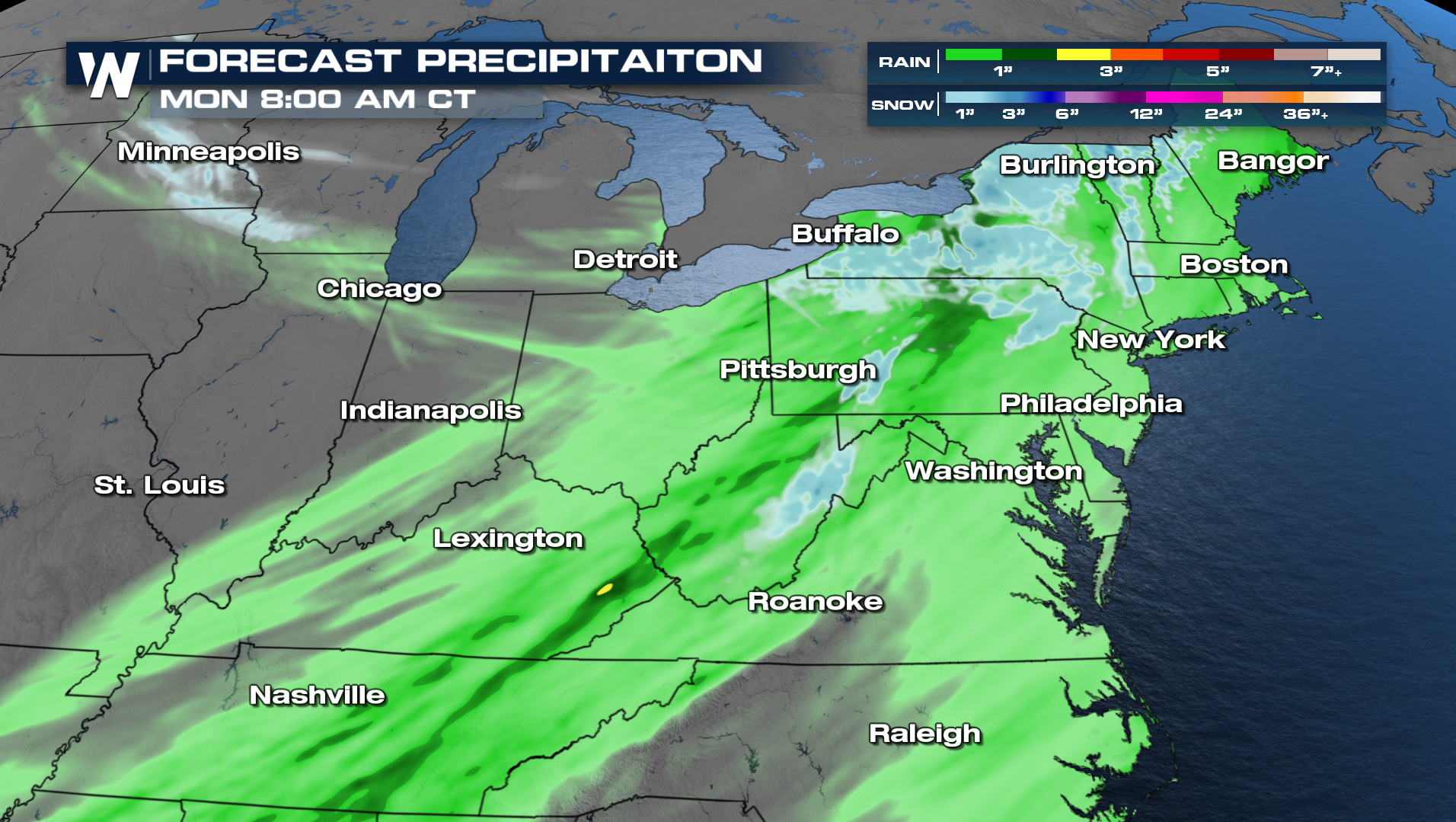
Get the latest forecast for the East with the WeatherNation app anytime - or tune into our broadcast at :10 past the hour!


