Flooding, Tornadoes Target Central Florida Thursday

Deep tropical moisture streaming north from the Gulf is combining with a slow-moving front, setting the stage for widespread showers and thunderstorms along the Gulf Coast. Apalachicola, Florida, saw 7.49 inches of rain on Monday; this was the wettest October day on record! More heavy rainfall and flash flooding are possible Thursday into Friday, along with an isolated tornado or two.
A stalled front is taking the moisture from Isaias and pulling it across Central and Northern Florida. For more info on Isaias and its impacts, read here.
Some localized totals of 5-6 inches of rain will be possible. Watch out for localized flash flooding and ponding on the roads in the usual spots.
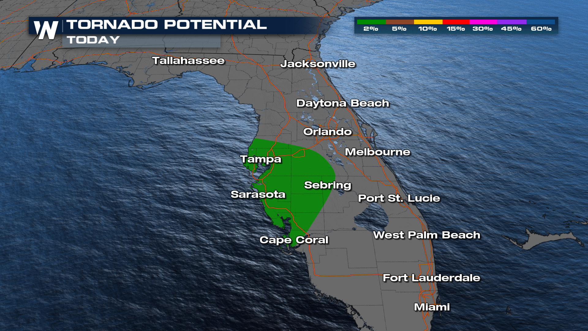 In addition to heavy rain, extra rotational energy from Isaias could spawn a few tornadoes on Thursday. Stay tuned to WeatherNation TV for additional details and live coverage.


