Winter Storm Clears, Leaving Behind Lingering Rain and Snow

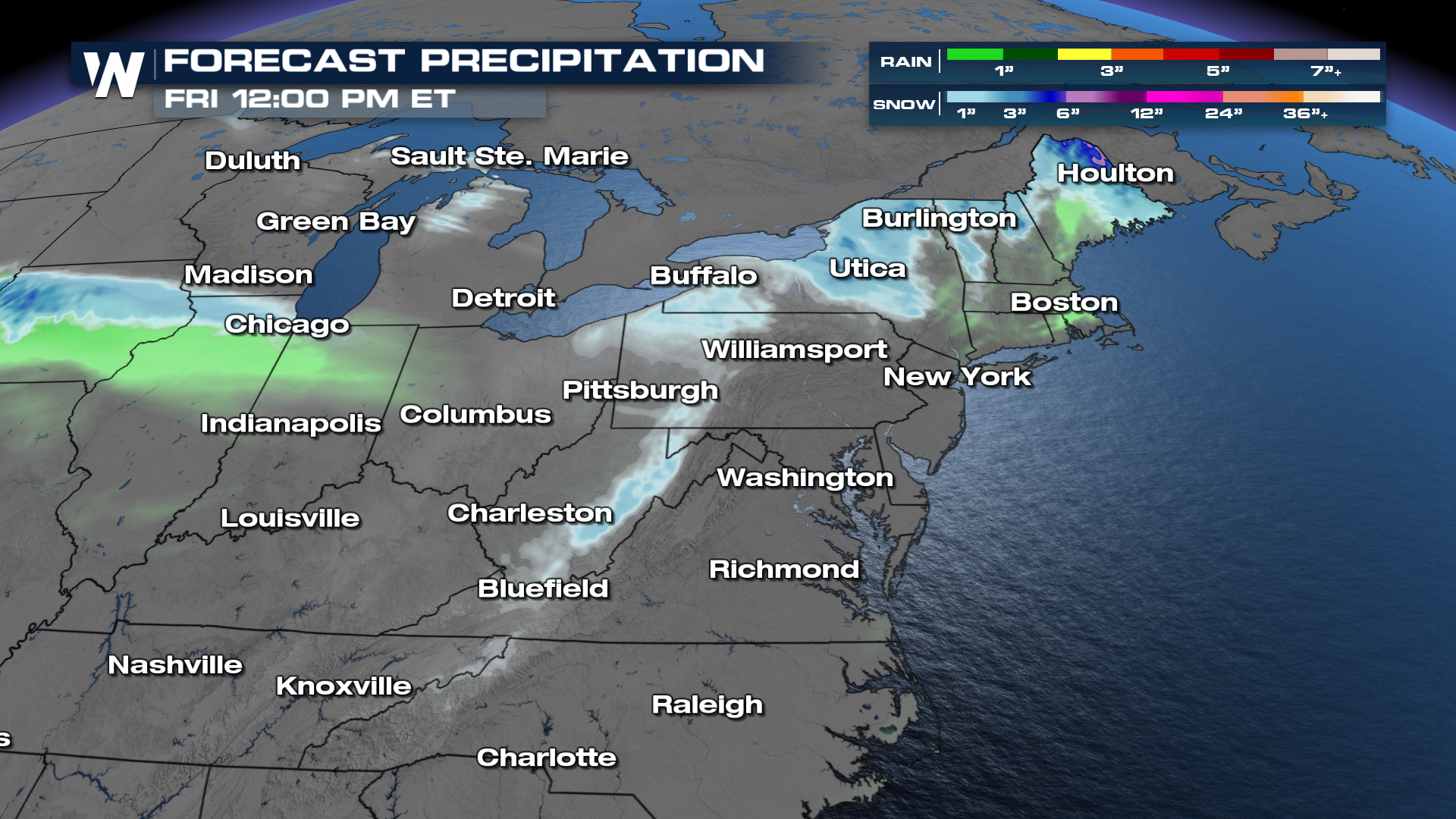
A powerful winter storm that brought tornadoes to the South and 9.5" of snowfall to Minnesota, is now making its exit off into the Atlantic. The low pressure system that is associated with this storm has moved into Canada. However, the rain and the snow is not done just yet. On the back side of the low, snow will move through cities like Cleveland and Pittsburgh through the into the morning.
Several inches of lake-enhanced snowfall is possible across the Great Lakes and the central and northern Appalachians Thursday and Friday. Elsewhere, expect at least 1"-3" of snowfall with less than an inch of rain. Additional snowfall totals can get as high as 12" over Maine.
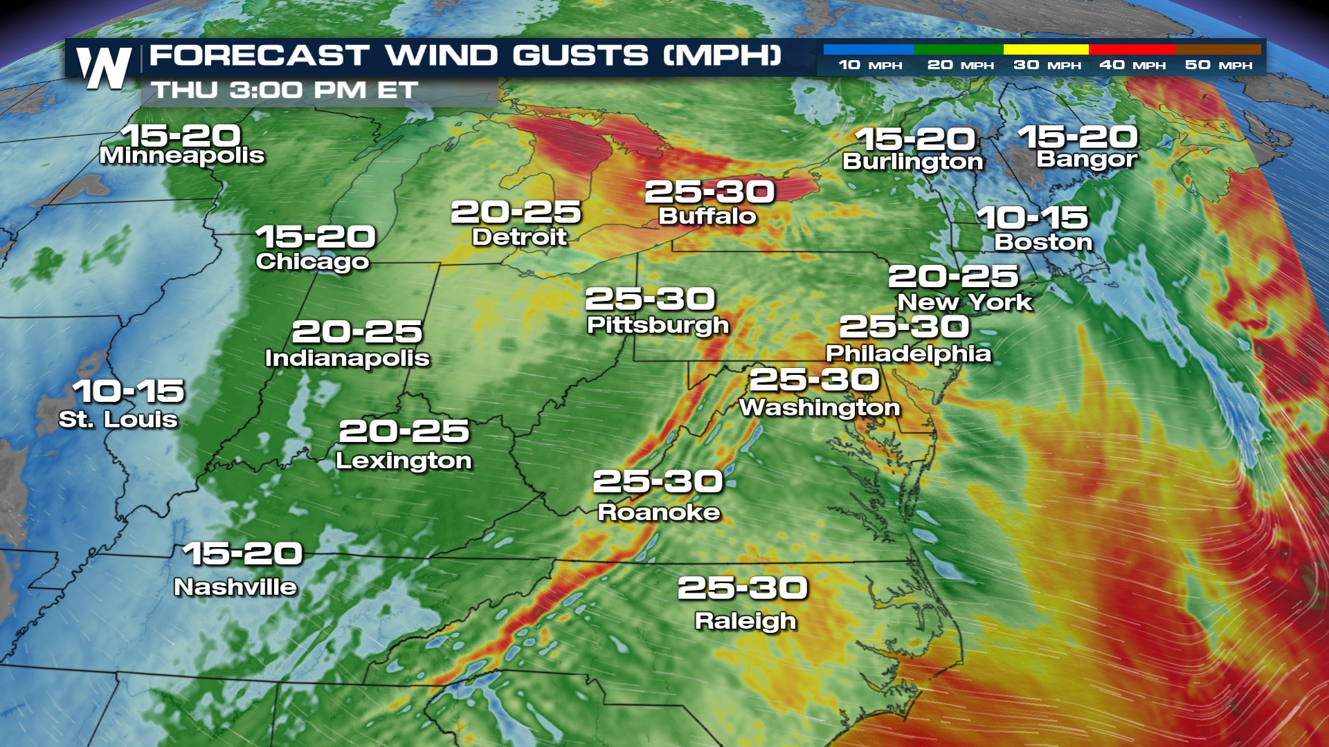
 Gusty winds are also expected behind this system as it moves off the coast. West winds are to be expected from 25-35 mph, with wind gusts over 60 mph expected.
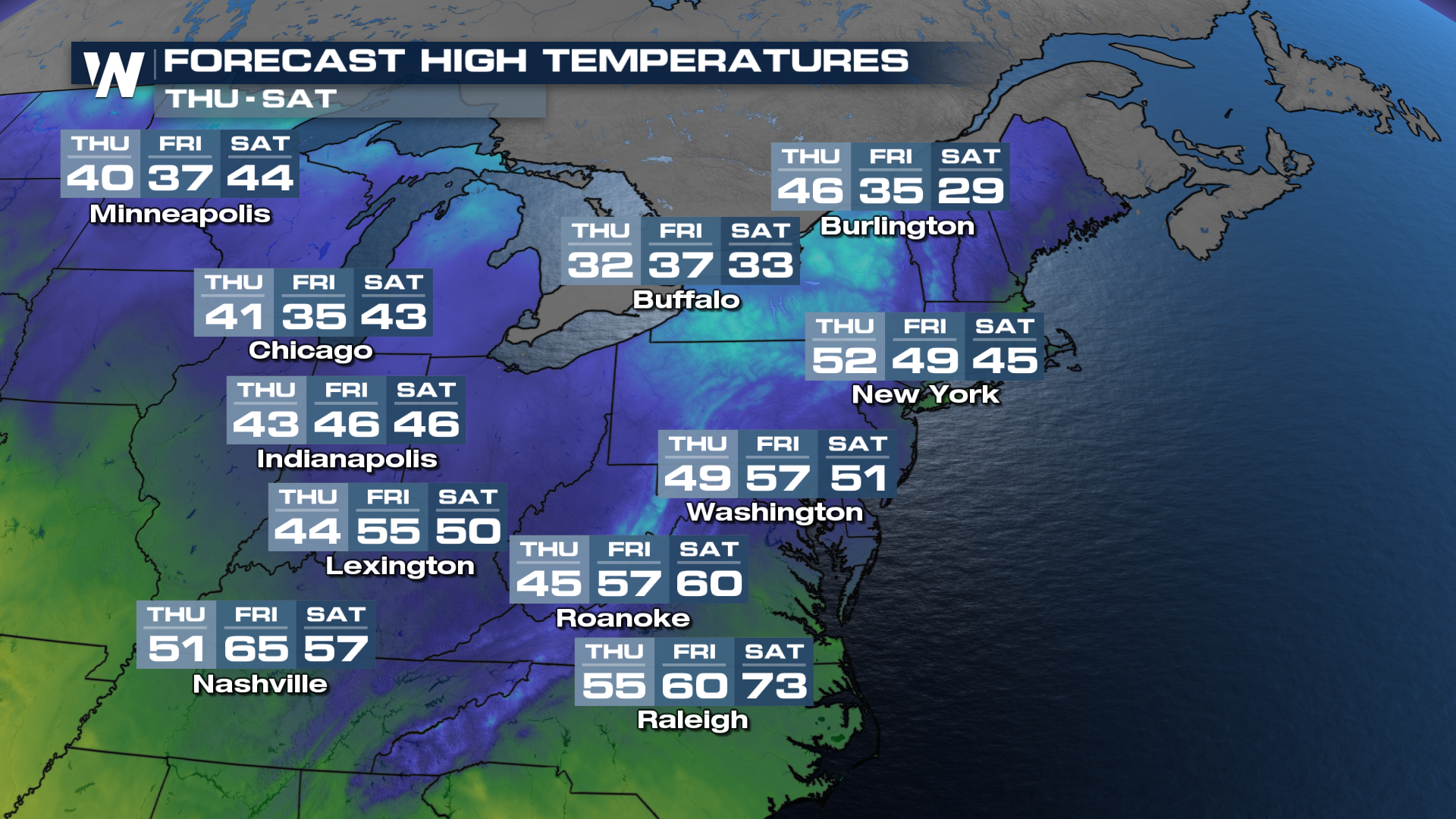
 Much cooler temperatures will arrive behind this front. Waking up on Friday, there will even be areas in New England that will experience single digit wind chill temperatures before warming back up my the weekend.
 Tune in to WeatherNation for the latest updates in the top weather headlines.


