Another Round of Severe Weather for the Upper Midwest and Great Lakes

The upper-level low train continues to keep the weather pattern active for the Midwest. As this system moved through today, strong storms developed, bringing damaging winds, large hail, and tornado warnings.
Severe Outlook
Overnight, we have a slight risk for strong storms from the Midwest to the Great Lakes. The biggest concern will be damaging winds, but large hail and a few tornadoes are also possible.
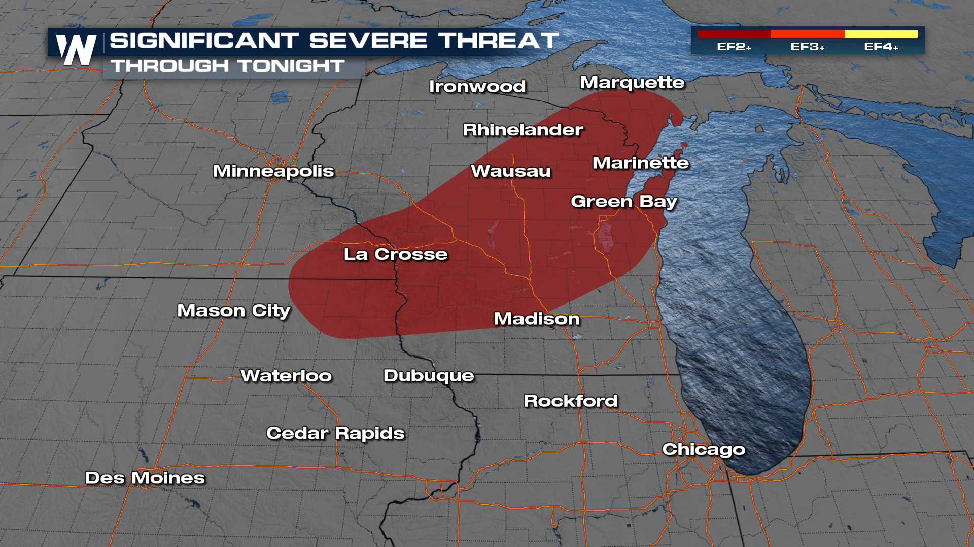
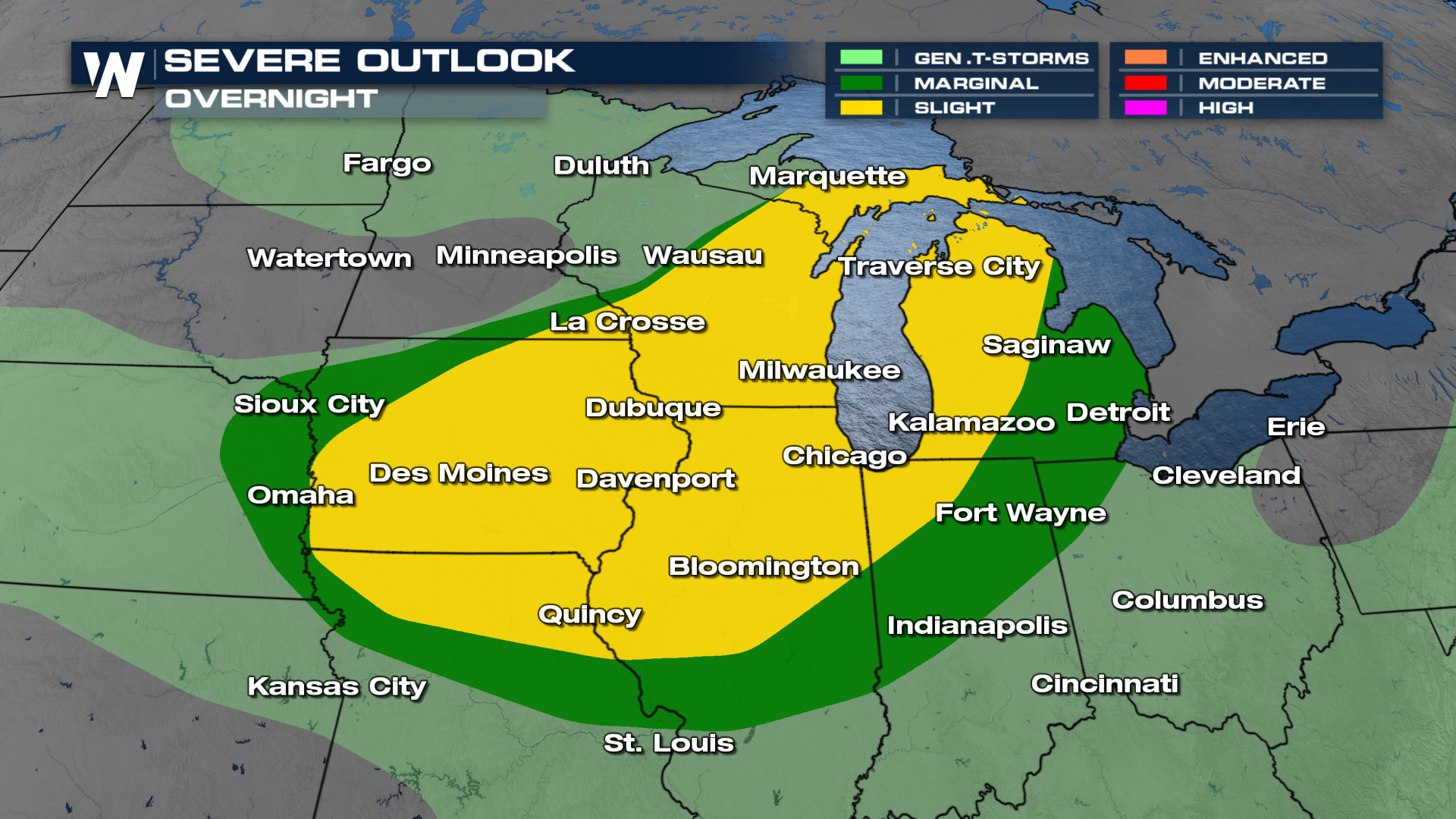 Some storms could be packing a significant punch. Hen-egg sized hail and hurricane-force wind gusts will be possible with the strongest storms. Some storms will have a chance to see large tracking tornadoes.
Forecast Timing
Overnight, as the frontal boundary moves to the south/east, storms will continue to ride along it. Any storm that develops through the overnight will have the capability to be strong to severe.
More on your Central Regional Forecast can be found :30 past the hour on WeatherNation.


