Atlantic Hurricane Season 2024 Impacted by La Niña
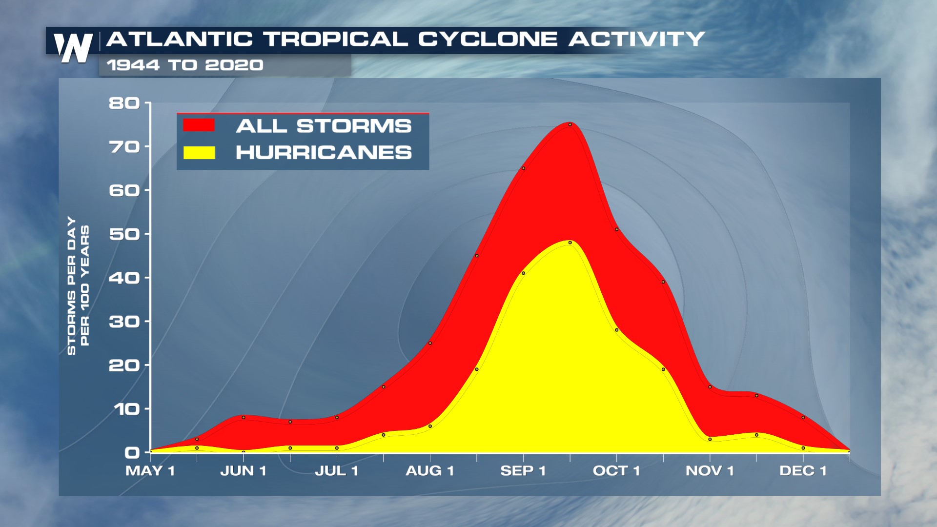
Hurricane season is less than one week away and forecasts are calling for a much above-average season in the tropical Atlantic. Forecasters at NOAA expect 17-25 named storms and forecasters at Colorado State University expect 23 named storms. The official list of hurricane names only has a total of 21 names (A-W) so if we were to see the forecasts pan out, an alternate list of names would be used, starting back at the letter "A". So what is behind this above-average forecast?
It is the ENSO, or El Niño Southern Oscillation, a global sea surface and atmosphere pattern interaction that impacts forecast patterns in the United States. The forecast impacts are most commonly felt during the Winter months in the northern hemisphere, but the ENSO cycle also has impacts on the Atlantic and Eastern Pacific Hurricane Season.
According to experts at the Climate Prediction Center, "A transition from El Niño to ENSO-neutral is likely in [June]. La Niña may develop in June-August (49% chance) or July-September (69% chance)". La Niña will likely continue through the end of hurricane season on November 30th. Our most recent La Niña Hurricane seasons were 2020, 2021 and 2022. All three were above average for hurricane activity.
We typically see elevated hurricane activity in the Atlantic tropics during La Niña events because the temperature profiles and interactions between the ocean surface and atmosphere lead to less shear over the tropical Atlantic Ocean. Shear rips apart hurricanes, so the less of it, the better the environment is for storms to develop and be sustained.

Remember these are forecasts and projections but no storms have officially been named yet. It is important to stay up to date on the latest tropical conditions throughout the season with WeatherNation.