Central Plains Snow/Ice Possible Late Week
Special Stories
3 Dec 2018 8:10 AM
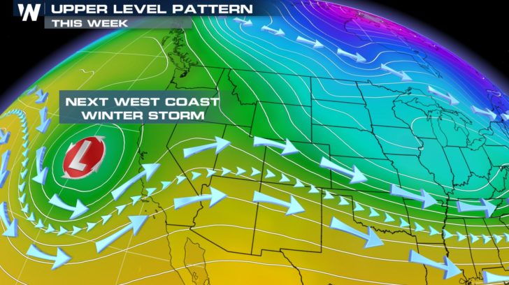
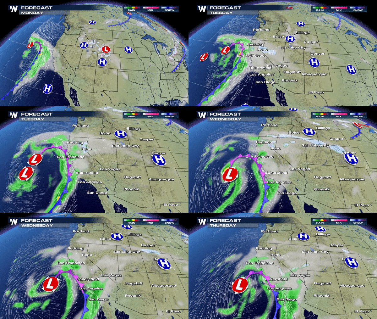
 Another Pacific Storm will bring rain and snow to the Sierra Nevadas by Tuesday and Wednesday.
 As this low dives farther south by Thursday and Friday it will pick up more moisture from the Pacific and eventually the Gulf of Mexico as it barrels farther east closer to the weekend.
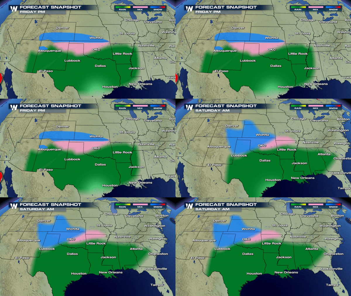
This southerly track not only means encountering more moisture to work with but also encountering more warm air from the south which is likely to meet up with another cold front coming in across the Plains and Midwest by Friday.
If the forecast materializes as expected this could mean a period of ice accretion before a changeover to all snow for parts of Texas, Oklahoma, Kansas and Missouri.
 We are still several days out so timing and impacts WILL change;however, this time of year it's important to stay up-to-date on these types of storms especially if you have plans to be traveling this region on the country late week.
Meteorologist Merry Matthews
All Weather News
More