Tornadoes Hit Alabama, Leave Paths Of Damage
Special Stories
25 Oct 2019 5:48 PM
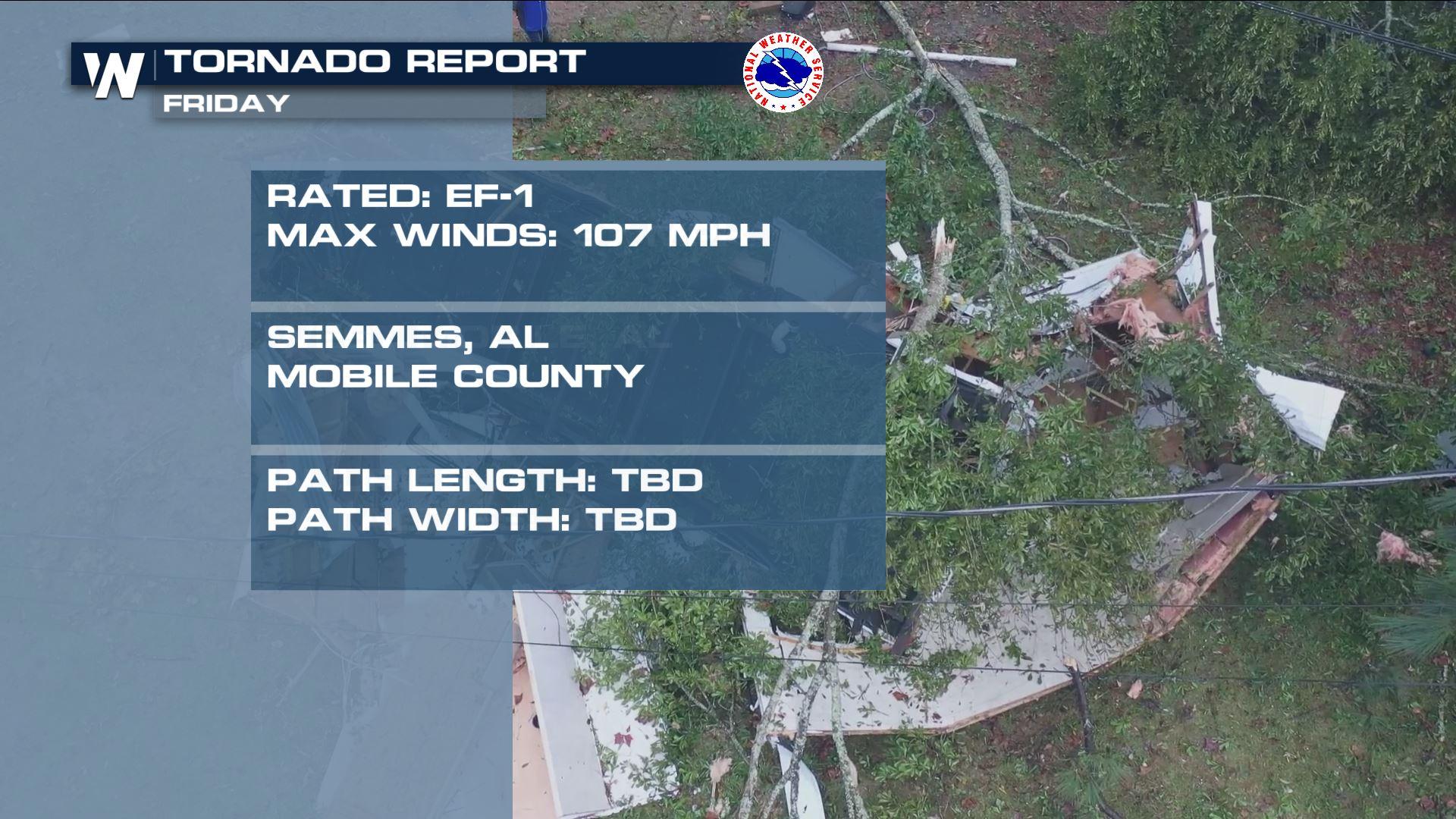
The National Weather Service in Mobile, AL has confirmed EF-1 tornado damage across parts of southwest Alabama Friday.
In two statements released Saturday, NWS Mobile says an EF-1* tornado hit West Mobile with estimated winds as high as 97 miles per hour. There were no injuries or fatalities reported with damage there. In the latter statement, NWS Mobile also said EF-1 tornado damage was observed in Semmes, AL which is also in Mobile County. The path and length of the tornado is still to be determined. It is still yet to be determined if this was from one tornado or multiple. At the time of the warnings Friday, NWS Mobile said there were "multiple vorticies" which means the damage may have been from multiple tornadoes.
https://twitter.com/WeatherNation/status/1187864365740916736
Our field correspondent Brandon Clement captured these images shortly after the tornado passed through Mobile County.
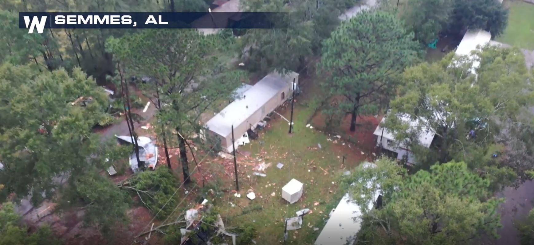
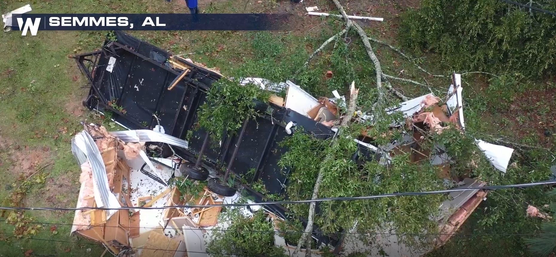 Semmes, AL sits just west-northwest of Mobile. Unfortunately this neighborhood took a direct hit from the quick-moving tornado.
Here are other images from the afternoon.
Semmes, AL sits just west-northwest of Mobile. Unfortunately this neighborhood took a direct hit from the quick-moving tornado.
Here are other images from the afternoon.
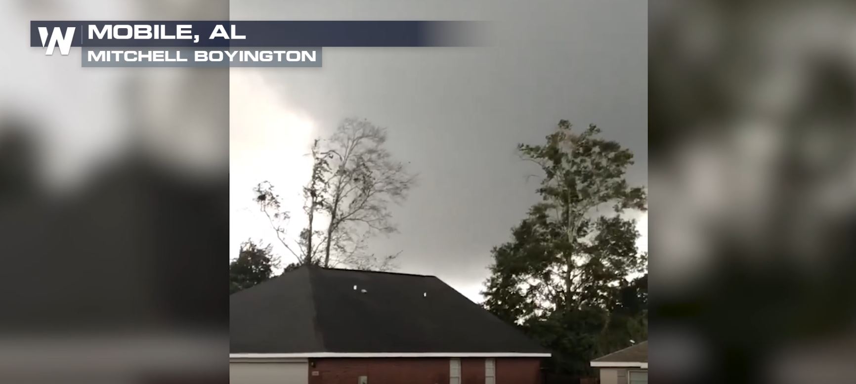 Picture credit Mitchell Boyington
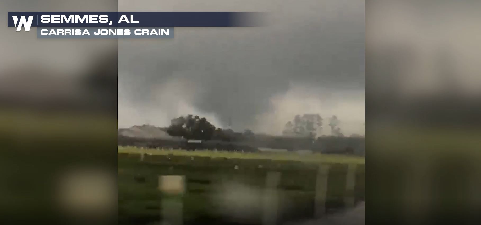 Picture credit Carrisa Jones Crain
The summaries below are preliminary and subject to change.
Picture credit Carrisa Jones Crain
The summaries below are preliminary and subject to change.
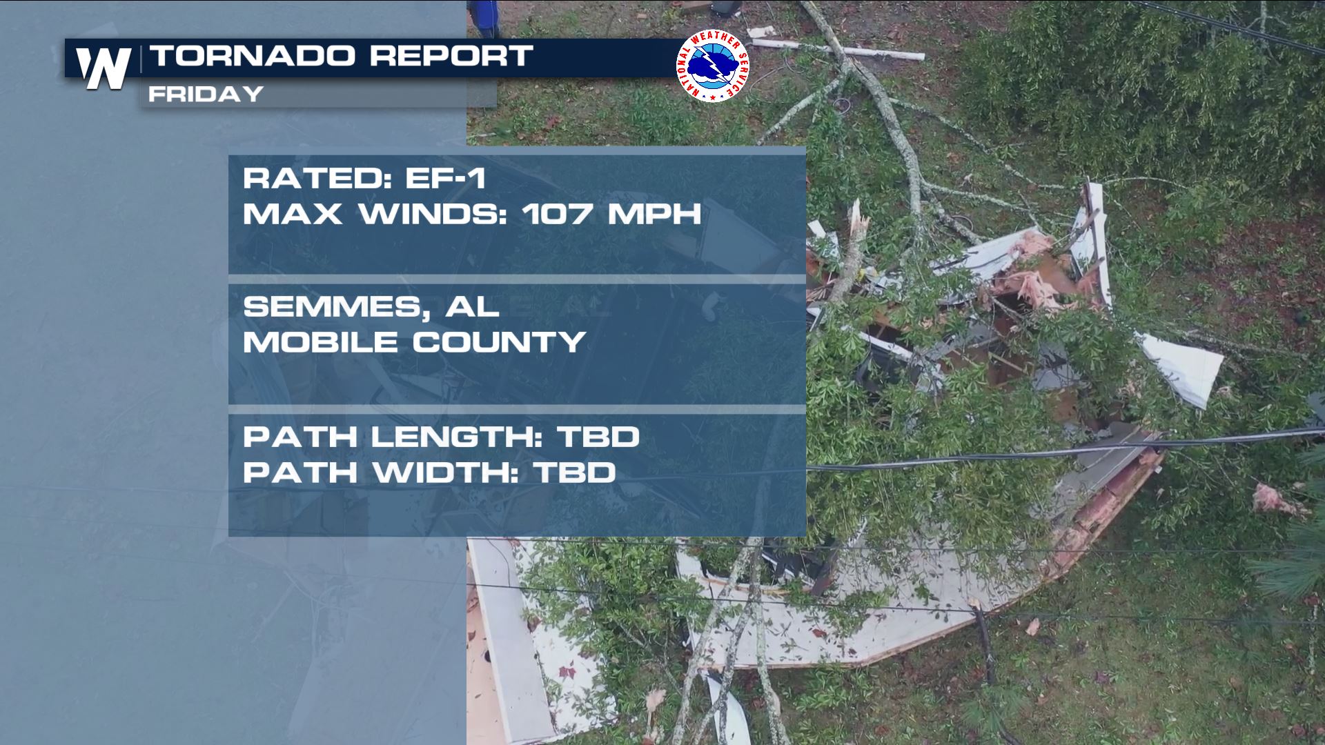
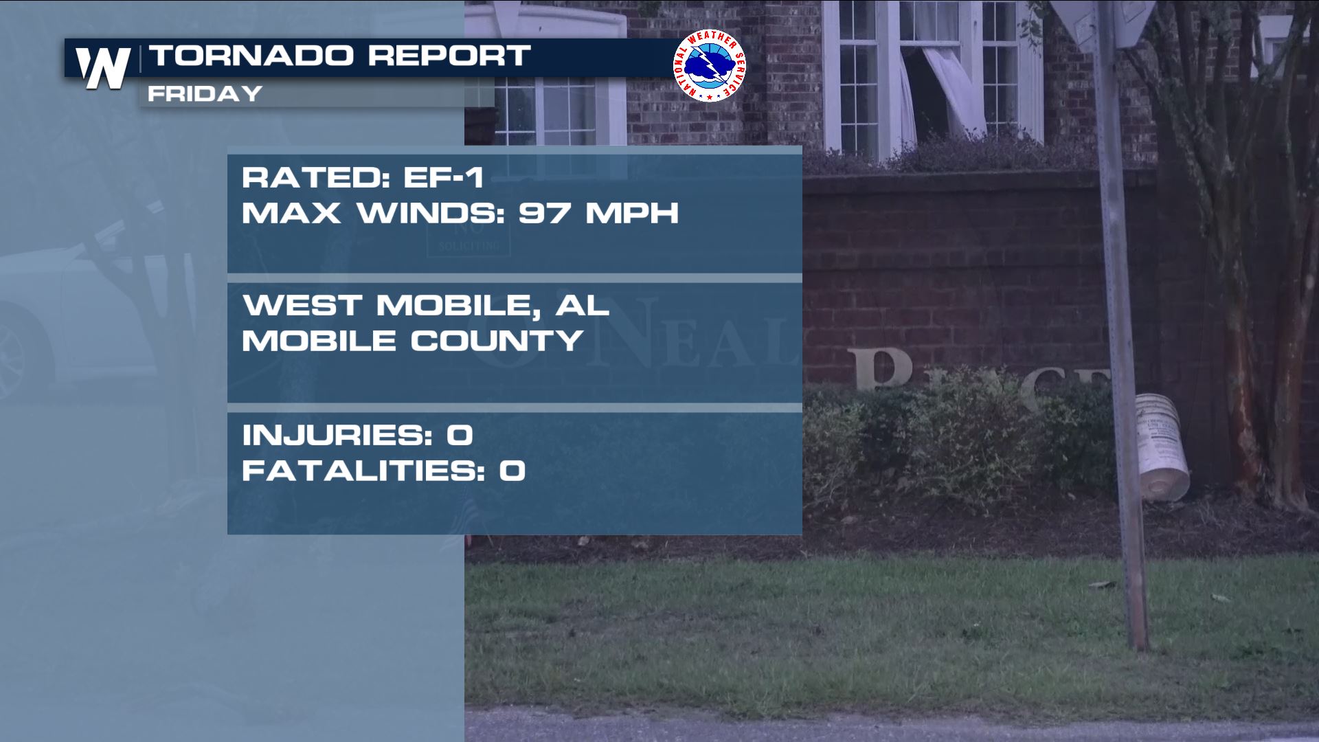 *EF-1 winds are between 86-110 mph and EF stands for the Enhanced Fujita Scale
Semmes, AL sits just west-northwest of Mobile. Unfortunately this neighborhood took a direct hit from the quick-moving tornado.
Here are other images from the afternoon.
Picture credit Mitchell Boyington
Picture credit Carrisa Jones Crain
The summaries below are preliminary and subject to change.
*EF-1 winds are between 86-110 mph and EF stands for the Enhanced Fujita ScaleAll Weather News
More
Mount Slushmore? Taking a look at Dakota Snow Chances
The cooler weather is finding places to go fi
26 Oct 2026 6:30 PM

Southwest Gets More Active By Halloween Weekend
Heading towards the Halloween weekend, the so
26 Oct 2026 5:45 PM

Tropical Storm Vance Swirling in the Pacific, Olana Forms West of Hawaii
After becoming a hurricane Friday, Vance has
26 Oct 2026 5:40 PM

HALLOWEEN 2026: Is the weather a Trick or a Treat?
Hopefully the costume's picked out by now, th
26 Oct 2026 2:30 PM

Sunny Day Flooding; King Tides Surge This Week
This week, the ocean is coming to low lying a
26 Oct 2026 10:15 AM

Major River Flooding Causes Damage; Another Day of Storms in New Mexico
A powerful low pressure system has been movin
26 Oct 2026 1:00 AM

Warmer Than Average: Above-Normal Temperatures Across the Central U.S. This Week
WHAT TO EXPECTA ridge of high pressure linger
25 Oct 2026 10:15 AM