The Connection Between Tornado Frequency and Summertime Arctic Ice Coverage
Special Stories
8 Aug 2018 9:15 AM
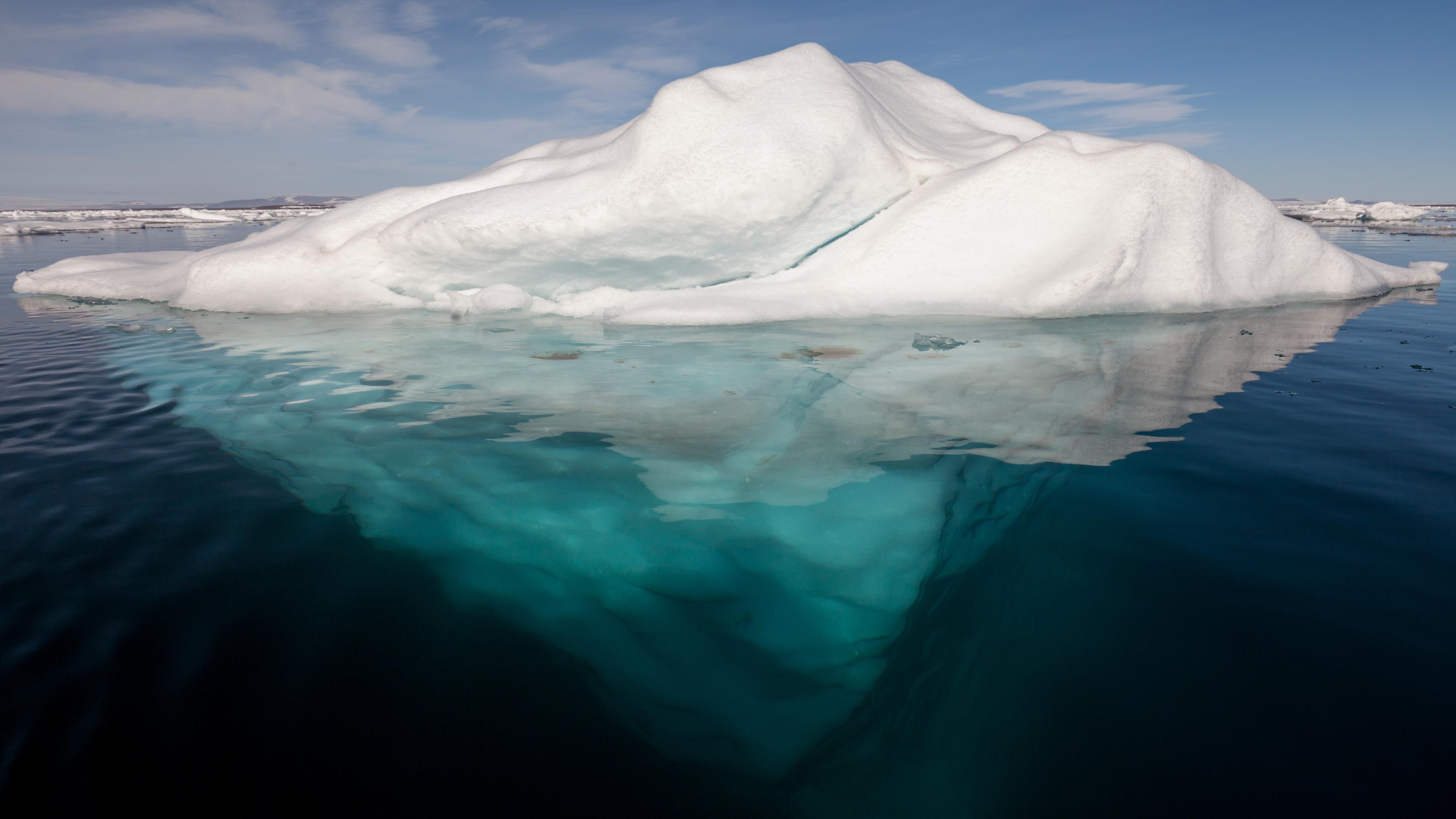
[Iceberg in the Arctic with its underside exposed. From Wikimedia Commons]
From University of Illinois
Changes in the Arctic ice coverage may influence weather much closer to home for millions of Americans, researchers report.
The United States has experienced many changes in severe-weather behavior over the past decade, including fewer tornado touchdowns than in the past. A new study suggests that atmospheric circulation changes that coincide with a loss of Arctic sea ice may have an affect.
Atmospheric scientists from the University of Illinois at Urbana-Champaign and Purdue University report their findings in the journal Climate and Atmospheric Science.
 “A relationship between Arctic sea ice and tornadoes in the U.S. may seem unlikely,” said (Robert) Jeff Trapp, a professor of atmospheric sciences at the U. of I. and a co-author. “But it is hard to ignore the mounting evidence in support of the connection.”
The researchers performed statistical analyses of nearly three decades of historical weather and climate data and found significant correlations between tornado activity and the extent of Arctic sea ice – especially during the month July.
The team believes that the reduction in tornado activity boils down to how the diminishing Arctic sea ice controls the path of the jet stream. As Arctic sea ice retreats in the summer, the jet stream migrates from its traditional summertime path over states like Montana and South Dakota to areas farther north, and the atmospheric conditions that are favorable for tornado formation follow suit.
“Tornadoes and their parent thunderstorms are fueled by wind shear and moisture,” Trapp said. “When the jet stream migrates north, it takes the wind shear along for the ride, but not always the moisture. So, even though thunderstorms may still develop, they tend not to generate tornadoes because one of the essential ingredients for tornado formation is now missing.”
“A relationship between Arctic sea ice and tornadoes in the U.S. may seem unlikely,” said (Robert) Jeff Trapp, a professor of atmospheric sciences at the U. of I. and a co-author. “But it is hard to ignore the mounting evidence in support of the connection.”
The researchers performed statistical analyses of nearly three decades of historical weather and climate data and found significant correlations between tornado activity and the extent of Arctic sea ice – especially during the month July.
The team believes that the reduction in tornado activity boils down to how the diminishing Arctic sea ice controls the path of the jet stream. As Arctic sea ice retreats in the summer, the jet stream migrates from its traditional summertime path over states like Montana and South Dakota to areas farther north, and the atmospheric conditions that are favorable for tornado formation follow suit.
“Tornadoes and their parent thunderstorms are fueled by wind shear and moisture,” Trapp said. “When the jet stream migrates north, it takes the wind shear along for the ride, but not always the moisture. So, even though thunderstorms may still develop, they tend not to generate tornadoes because one of the essential ingredients for tornado formation is now missing.”
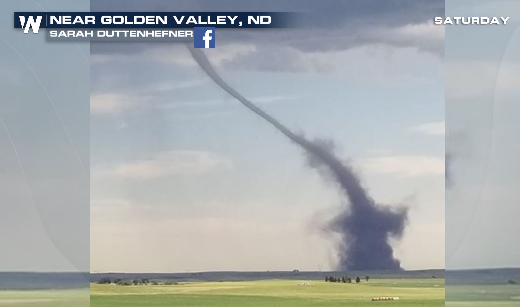
 [University of Illinois atmospheric sciences professor (Robert) Jeff Trapp is a co-author of a new study that has identified the possible links between Arctic sea ice retreat and tornadoes. Photo by L. Brian Stauffer]
The team believes that the correlation between Arctic ice retreat and jet stream migration may lead to advances in seasonal severe weather prediction.
“One of the reasons that we focused on sea ice is because, like the ocean and land, it is relatively slow to evolve,” Trapp said. “Because sea ice and the atmosphere are coupled, the response of the atmosphere is also relatively slow. We can use this property to help make long-term predictions for tornadoes and hail, similar to the way predictions are made for hurricane seasons.” But before doing so, Trapp said they still need to understand the drivers of the sea ice changes and what role the tropics may be playing.
It remains unclear as to why this correlation is particularly dominant during the month of July, the researchers said, and they admit that they are only at the "tip of the iceberg" in terms of understanding the overall effects of climate change, and climate variability, on severe weather.
Edited for WeatherNation by Meteorologist Mace Michaels
[University of Illinois atmospheric sciences professor (Robert) Jeff Trapp is a co-author of a new study that has identified the possible links between Arctic sea ice retreat and tornadoes. Photo by L. Brian Stauffer]
The team believes that the correlation between Arctic ice retreat and jet stream migration may lead to advances in seasonal severe weather prediction.
“One of the reasons that we focused on sea ice is because, like the ocean and land, it is relatively slow to evolve,” Trapp said. “Because sea ice and the atmosphere are coupled, the response of the atmosphere is also relatively slow. We can use this property to help make long-term predictions for tornadoes and hail, similar to the way predictions are made for hurricane seasons.” But before doing so, Trapp said they still need to understand the drivers of the sea ice changes and what role the tropics may be playing.
It remains unclear as to why this correlation is particularly dominant during the month of July, the researchers said, and they admit that they are only at the "tip of the iceberg" in terms of understanding the overall effects of climate change, and climate variability, on severe weather.
Edited for WeatherNation by Meteorologist Mace Michaels
“A relationship between Arctic sea ice and tornadoes in the U.S. may seem unlikely,” said (Robert) Jeff Trapp, a professor of atmospheric sciences at the U. of I. and a co-author. “But it is hard to ignore the mounting evidence in support of the connection.”
The researchers performed statistical analyses of nearly three decades of historical weather and climate data and found significant correlations between tornado activity and the extent of Arctic sea ice – especially during the month July.
The team believes that the reduction in tornado activity boils down to how the diminishing Arctic sea ice controls the path of the jet stream. As Arctic sea ice retreats in the summer, the jet stream migrates from its traditional summertime path over states like Montana and South Dakota to areas farther north, and the atmospheric conditions that are favorable for tornado formation follow suit.
“Tornadoes and their parent thunderstorms are fueled by wind shear and moisture,” Trapp said. “When the jet stream migrates north, it takes the wind shear along for the ride, but not always the moisture. So, even though thunderstorms may still develop, they tend not to generate tornadoes because one of the essential ingredients for tornado formation is now missing.”
[University of Illinois atmospheric sciences professor (Robert) Jeff Trapp is a co-author of a new study that has identified the possible links between Arctic sea ice retreat and tornadoes. Photo by L. Brian Stauffer]
The team believes that the correlation between Arctic ice retreat and jet stream migration may lead to advances in seasonal severe weather prediction.
“One of the reasons that we focused on sea ice is because, like the ocean and land, it is relatively slow to evolve,” Trapp said. “Because sea ice and the atmosphere are coupled, the response of the atmosphere is also relatively slow. We can use this property to help make long-term predictions for tornadoes and hail, similar to the way predictions are made for hurricane seasons.” But before doing so, Trapp said they still need to understand the drivers of the sea ice changes and what role the tropics may be playing.
It remains unclear as to why this correlation is particularly dominant during the month of July, the researchers said, and they admit that they are only at the "tip of the iceberg" in terms of understanding the overall effects of climate change, and climate variability, on severe weather.
Edited for WeatherNation by Meteorologist Mace MichaelsAll Weather News
More
Tropics: Tropical Storm Bertha Forms In the Atlantic, Eastern Pacific Active
In the Atlantic basin, we are keeping a very
21 Jul 2026 2:00 AM

Another Round of Storms Targets the Northeast
Another cold front is dropping east and will
21 Jul 2026 2:00 AM

Another Round of Severe Weather for the Upper Midwest and Great Lakes
The upper-level low train continues to keep t
21 Jul 2026 1:45 AM

Severe Storm Threat Continues for North Carolina
A slow-moving front has one more day's worth
20 Jul 2026 10:35 PM

Air Quality Improvements in the Forecast
Wildfires burning in Northwestern Ontario, Ca
20 Jul 2026 7:20 PM

Monsoon Moisture Brings Weekend Flood Threat
The monsoon has returned to the southwestern
19 Jul 2026 1:30 AM

After Historic Flooding, Flood Risk Moves West Saturday
TEXAS HILL COUNTRY - Life-threatening floodin
18 Jul 2026 1:00 AM