A Deadly EF-3 Tornado Hits North Carolina Late Monday Night

Top Stories
16 Feb 2021 5:05 PM
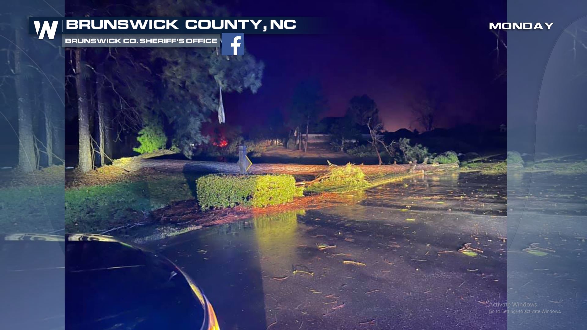
A supercell moved onshore in Southwest Brunswick County, North Carolina (South of Wilmington) just prior to midnight last night. Tornado damage was reported near Grissettown in the Ocean Ridge Plantation division. The tornado was spotted as far north as Honey Island.
The initial rating from the National Weather Service in Wilmington, NC arrived earlier Tuesday. The tornado is initially rated as an EF-3 with max winds of 160 mph.
https://twitter.com/WeatherNation/status/1361825847708065794
https://twitter.com/NC_Governor/status/1361662769989365763
Here are some photos of the damage from the Brunswick County Sherrif's Office.


 More severe weather is on the way for Wednesday and Thursday for the Southeast. For more on that severe chance---->Wed/Thu Severe
More severe weather is on the way for Wednesday and Thursday for the Southeast. For more on that severe chance---->Wed/Thu Severe
All Weather News
More
Severe Storms Target the Midwest to the Northeast
UPPER MIDWEST - Dangerous tornadoes have alre
28 Jul 2026 1:45 AM

Tropics: Fausto Heads towards Hawaii; Genevieve Cat 4 Hurricane
PacificHurricane Fausto continues to track we
28 Jul 2026 1:45 AM


Southeast Flood Risk Lingers Near Stalled Front
A stalled boundary over the Southeast will ke
25 Jul 2026 10:55 AM

Another Round of Storms Targets the Northeast
Tuesday brought severe weather again across p
23 Jul 2026 1:15 AM

Another Round of Severe Weather for the Upper Midwest and Great Lakes
The upper-level low train continues to keep t
21 Jul 2026 1:45 AM