Flash Flood Concerns Across Texas Ahead of Halloween

A surge of tropical moisture associated with the remnants of Vance (EPAC) is increasing the threat of heavy rainfall and flash flooding across portions of Texas as the state prepares for Halloween. Even a tornado near Uvalde, TX Thursday gave locals a scary sight.
Moisture streaming northward from the remnant tropical system is expected to interact with Gulf moisture, creating favorable conditions for widespread showers and thunderstorms. Some communities could experience repeated rounds of heavy rain, increasing the potential for flooding in vulnerable areas. Flood watches are in effect for the western half of Texas.
Keep up with WeatherNation LIVE for the latest on Flash Flood Warnings: YouTube LIVE STREAM
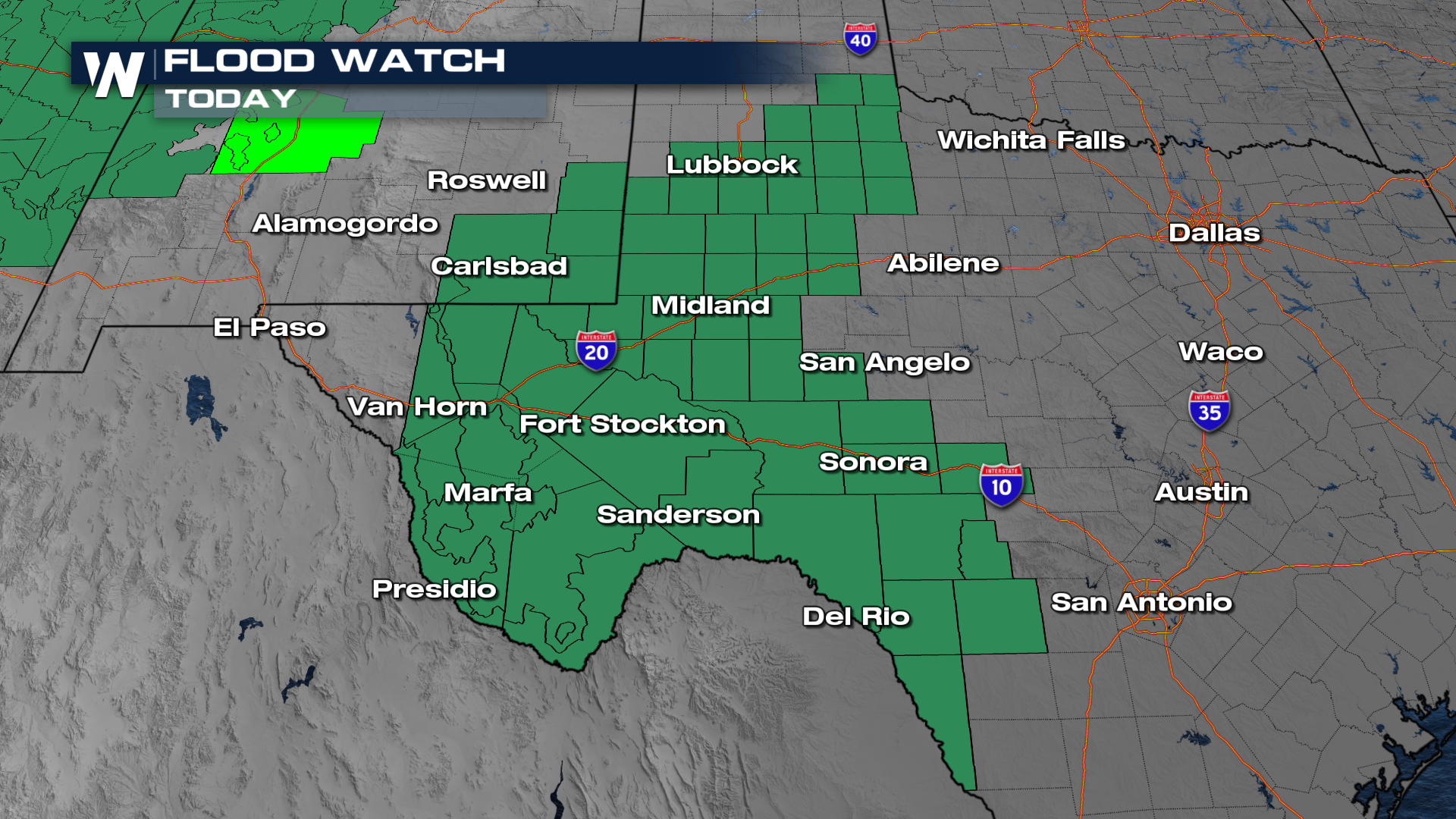
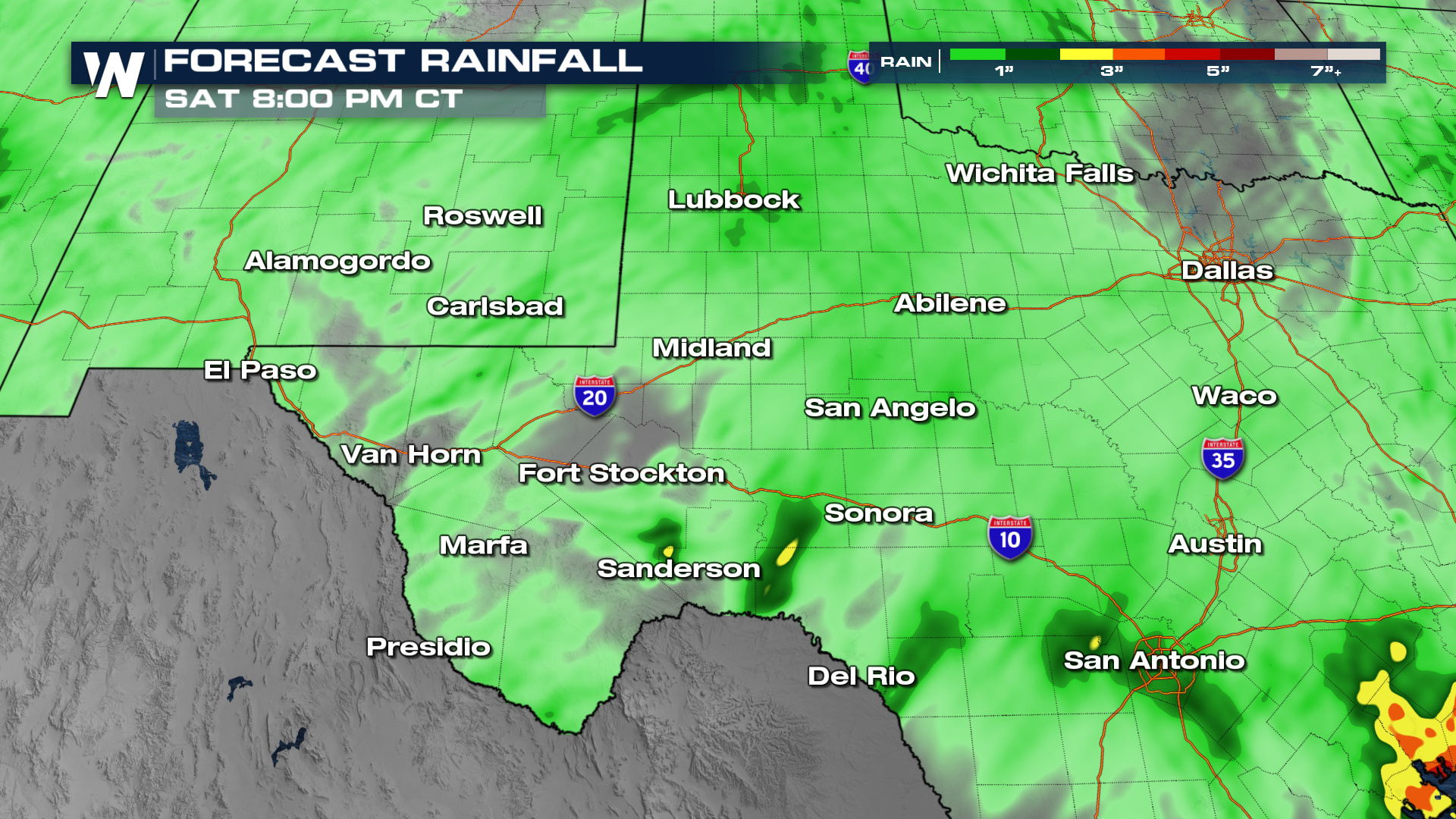
Most of the storms will move from West to East Texas by Friday night. After a brief break, a wave of energy from the Four Corners will sweep through early Saturday. Trick-or-Treating should be fine for much of West Texas, as it should all move out by Saturday night.
Additional rainfall totals of up to an inch are possible across parts of the region, with locally higher amounts where thunderstorms repeatedly develop over the same locations. These heavier downpours could overwhelm drainage systems and cause rapid rises in creeks, streams and low-lying roadways.
Flash flooding remains one of the most dangerous weather-related threats because water levels can rise quickly, sometimes with little warning. Motorists should never attempt to cross water-covered roads, as even relatively shallow moving water can sweep vehicles away.


