Wet Birds Could Dampen Thanksgiving Plans This Year

Some call this the best time of the year. Others get anxious at the mention of the holidays. Mother Nature is saying leave room for seconds as yet another strong system looks to slide up the East Coast later this week. This could have some nasty impacts on travel to or from wherever we're headed later this week. Here's what we know...
SETUP
Right now, there's plenty of confidence in a storm forming around Wednesday. When/Where is still a bit up in the air....
A few things will be going as we inch closer to Thanksgiving. Watch how this "parent" trough and shortwave interact Tuesday into Wednesday. Two will become one, with the one being a strengthening system. Overall, that checks out. But this introduces a TON of uncertainty - there are two (maybe three) separate disturbances mingling, meaning any slight tweak in timing/placement will have even bigger impacts on the forecast.
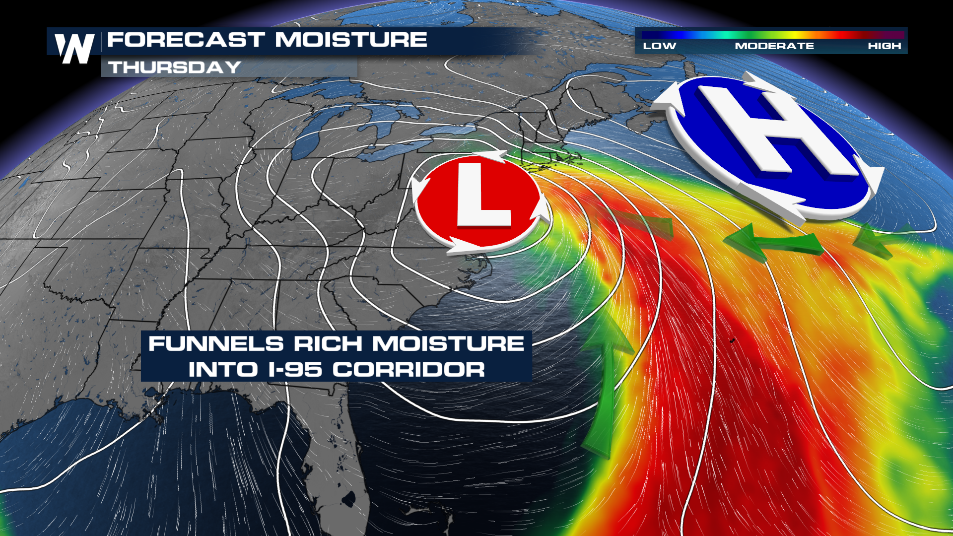
Uncertainty is fine, usually solves itself with a few more runs of data. One thing we're pretty sure on is there will be a lot of moisture to play with. A near record-strength area of high pressure will be in charge Tuesday-Wednesday. That will wall off moisture, only to steer it into this developing system. There will be a flooding threat to this system, it's a matter of when and where.
 WHAT ABOUT SNOW
Based on where this low is expected to be/develop, cold air will be hard to come by when we need it. The Great Lakes look like the best chance to pick up some snow out of this, potentially getting into the Midwest around Indiana & Illinois.
Still a few details to work out this week, get in the habit of checking the forecast, especially if our travel plans center on Wednesday/Thursday.


