Flash Flood Watches Span Across Much Of The East
Special Stories
31 Jul 2018 4:43 PM
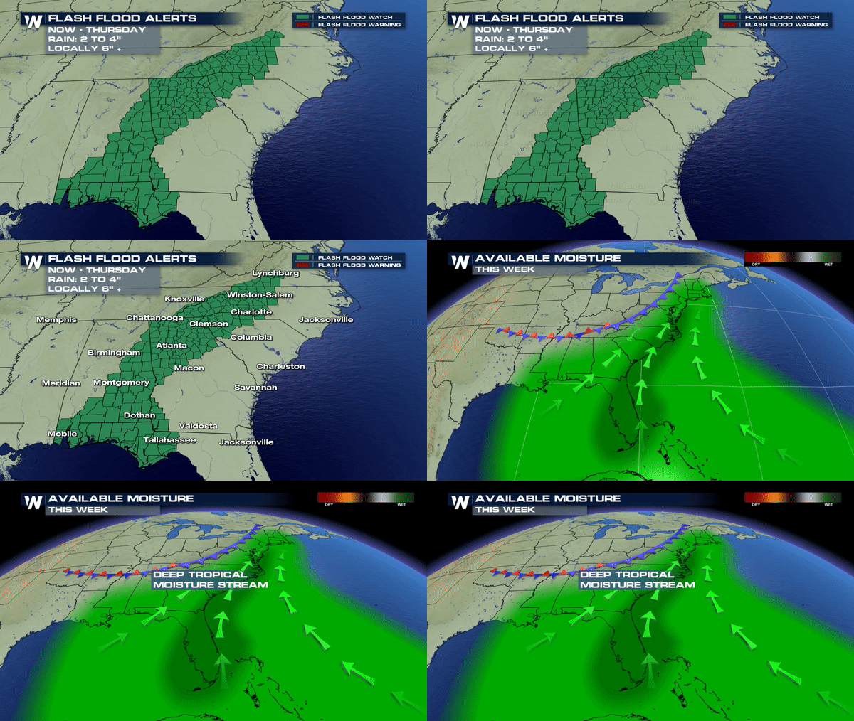
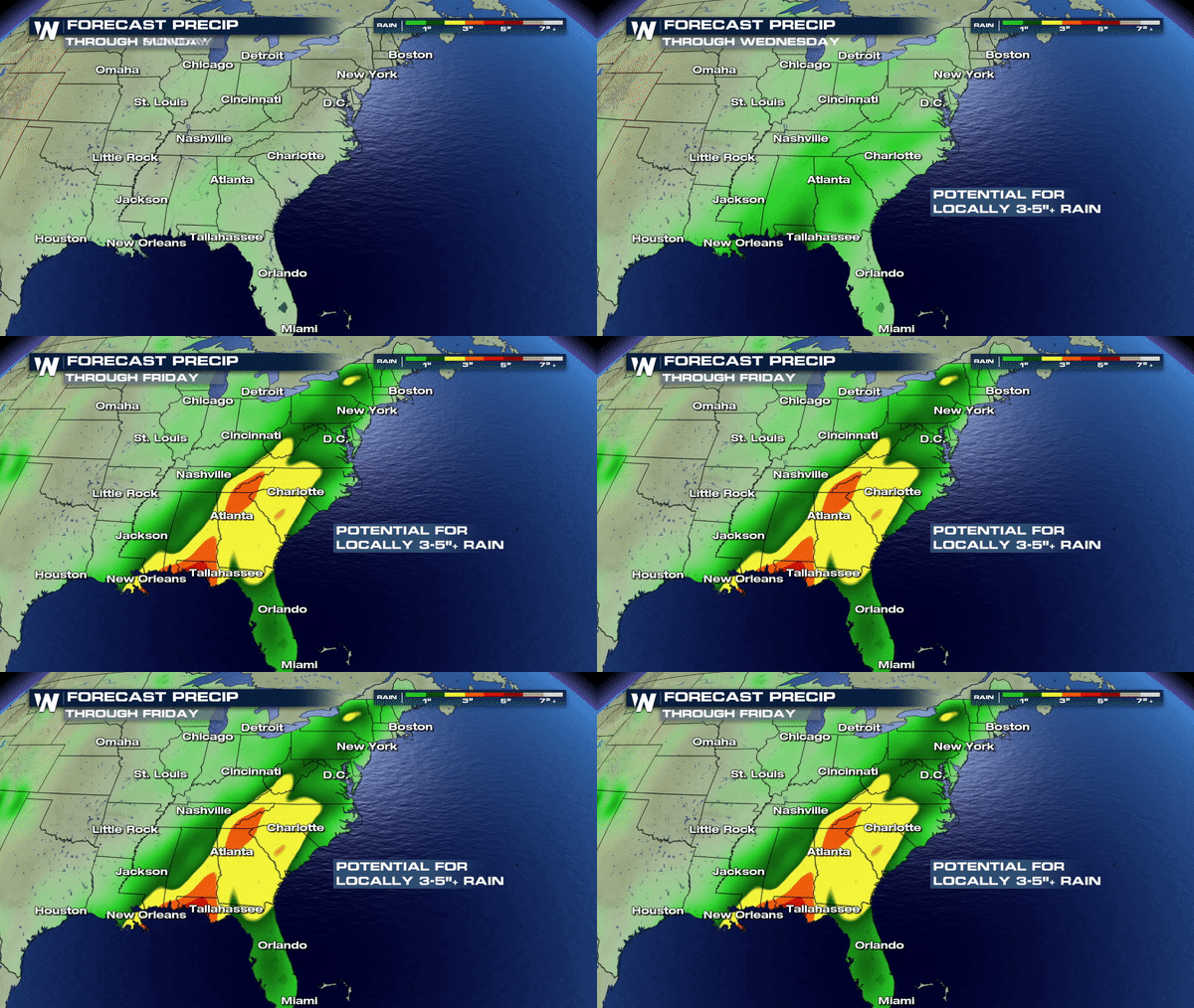
Flash Flooding is the biggest concern across much of the east over the next several days as more rain moves in. These Flash Flood Watches span from the Gulf Coast all the way into Southern Virginia and it is likely more Flash Flood Watches will be added farther north as we approach the end of the week.
 REMINDER: A Flash Flood Watch (depicted above) indicates conditions are favorable for Flash Flooding. A warning means its imminent or already occurring.
A big concern for the rolling and mountainous terrain of TN and the Carolinas as this will only yield more flooding in low lying areas in the coming days. Remember it doesn't have to rain in your area to have a Flash Flood Warning. Valleys and low lying areas can Flash Flood quickly with too much rain over a short period of time. Water will always flow to a path of least resistance and this can mean quick and dangerous flooding that will develop quickly and can be deadly is proper measures are not taken when the warning is issued. If you get a Flash Flood Warning, act quickly and move to higher ground.
 Rivers and creeks are still running high towards Central Pennsylvania and portions of the Mid-Atlantic so localized flooding near these areas will have to be monitored carefully as more rain moves in by Thursday and Friday.
Stay alert and keep the rain gear close by. You'll need it here and there for the next several days.
Meteorologist Merry Matthews
 REMINDER: A Flash Flood Watch (depicted above) indicates conditions are favorable for Flash Flooding. A warning means its imminent or already occurring.
A big concern for the rolling and mountainous terrain of TN and the Carolinas as this will only yield more flooding in low lying areas in the coming days. Remember it doesn't have to rain in your area to have a Flash Flood Warning. Valleys and low lying areas can Flash Flood quickly with too much rain over a short period of time. Water will always flow to a path of least resistance and this can mean quick and dangerous flooding that will develop quickly and can be deadly is proper measures are not taken when the warning is issued. If you get a Flash Flood Warning, act quickly and move to higher ground.
 Rivers and creeks are still running high towards Central Pennsylvania and portions of the Mid-Atlantic so localized flooding near these areas will have to be monitored carefully as more rain moves in by Thursday and Friday.
Stay alert and keep the rain gear close by. You'll need it here and there for the next several days.
Meteorologist Merry Matthews
All Weather News
More