Great Lakes Lake Effect Snow into Wednesday
Special Stories
11 Dec 2019 7:45 AM
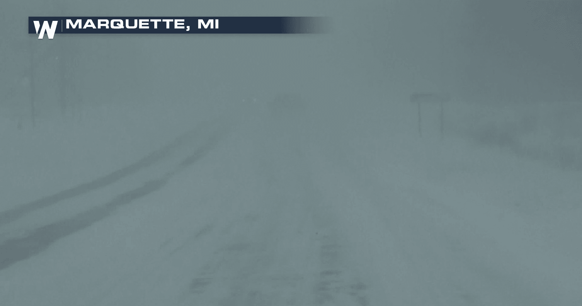
[Whiteout conditions from Marquette, Michigan from Tuesday morning]
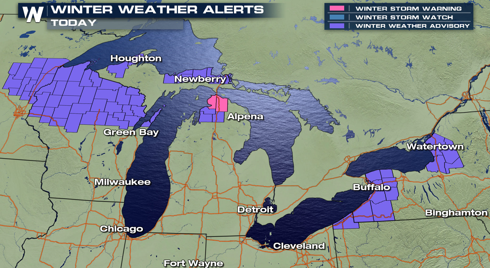
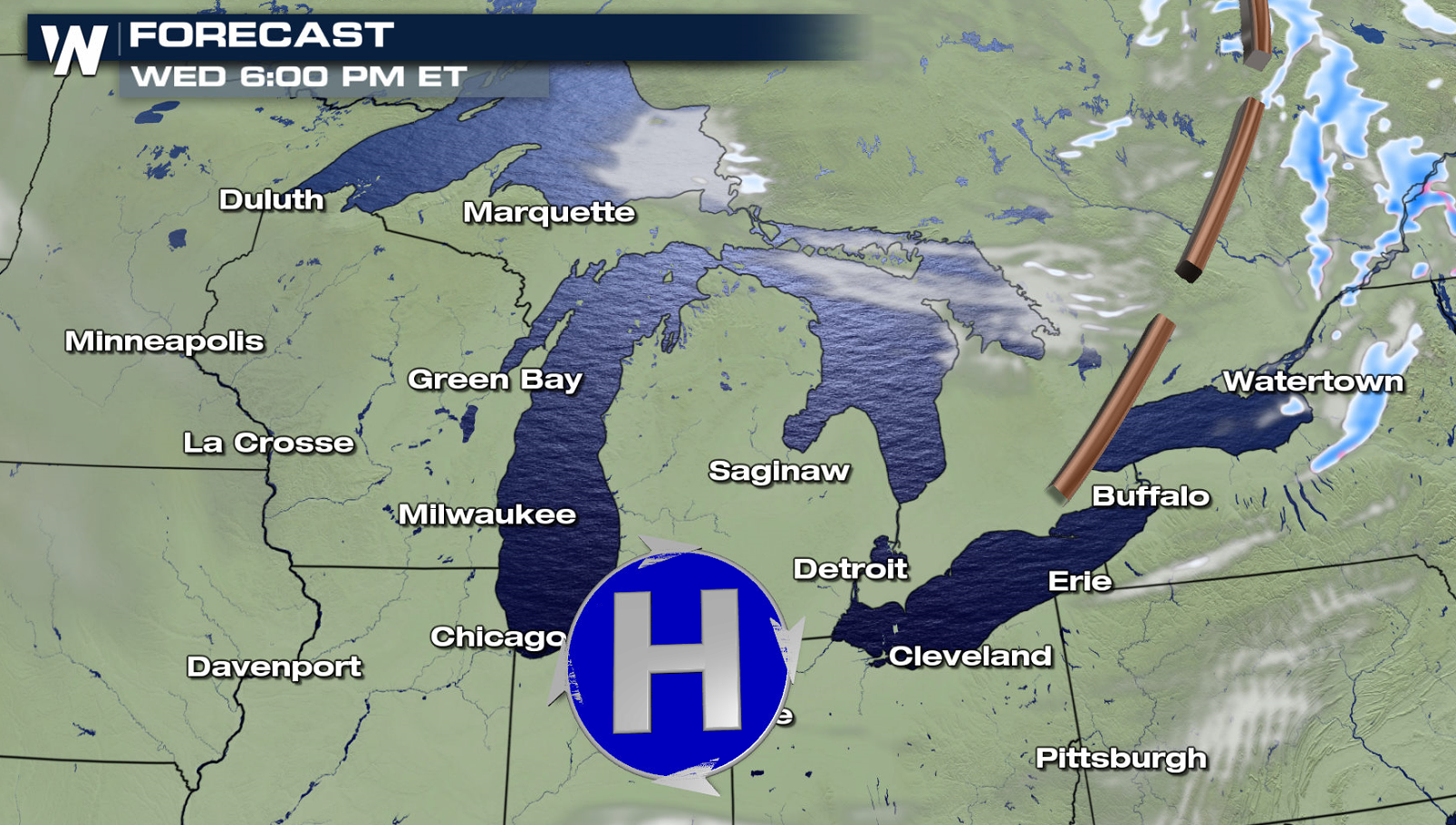
Cold Arctic air plunging across the Great Lakes is producing bands of heavy, localized lake effect snow. Alerts extend from Lake Superior in Michigan's Upper Peninsula to Lake Ontario in Western New York.
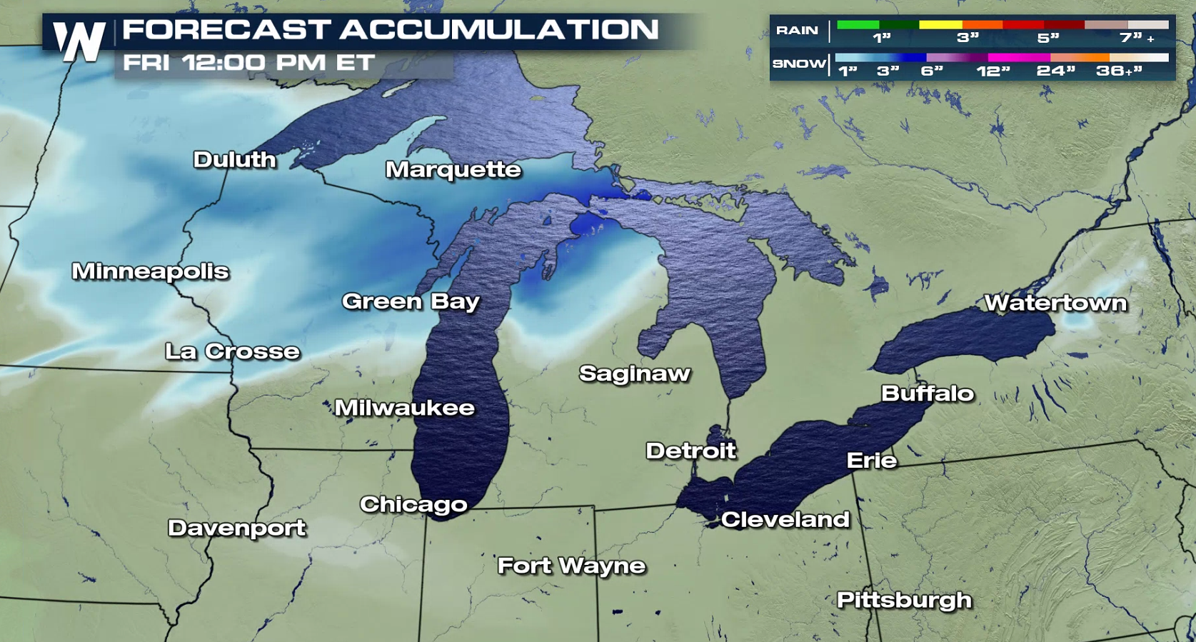 By this evening (Wednesday), many areas will see at least 6" of lake effect snow. The bands are not expected to be widespread, but they will be heavy and intense at times.
https://twitter.com/NWSBUFFALO/status/1204691610921062401
https://twitter.com/NWSGaylord/status/1204779113191329793
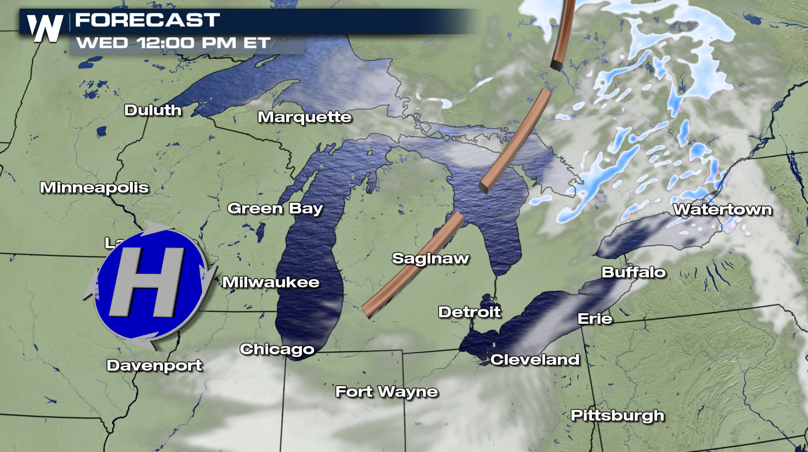
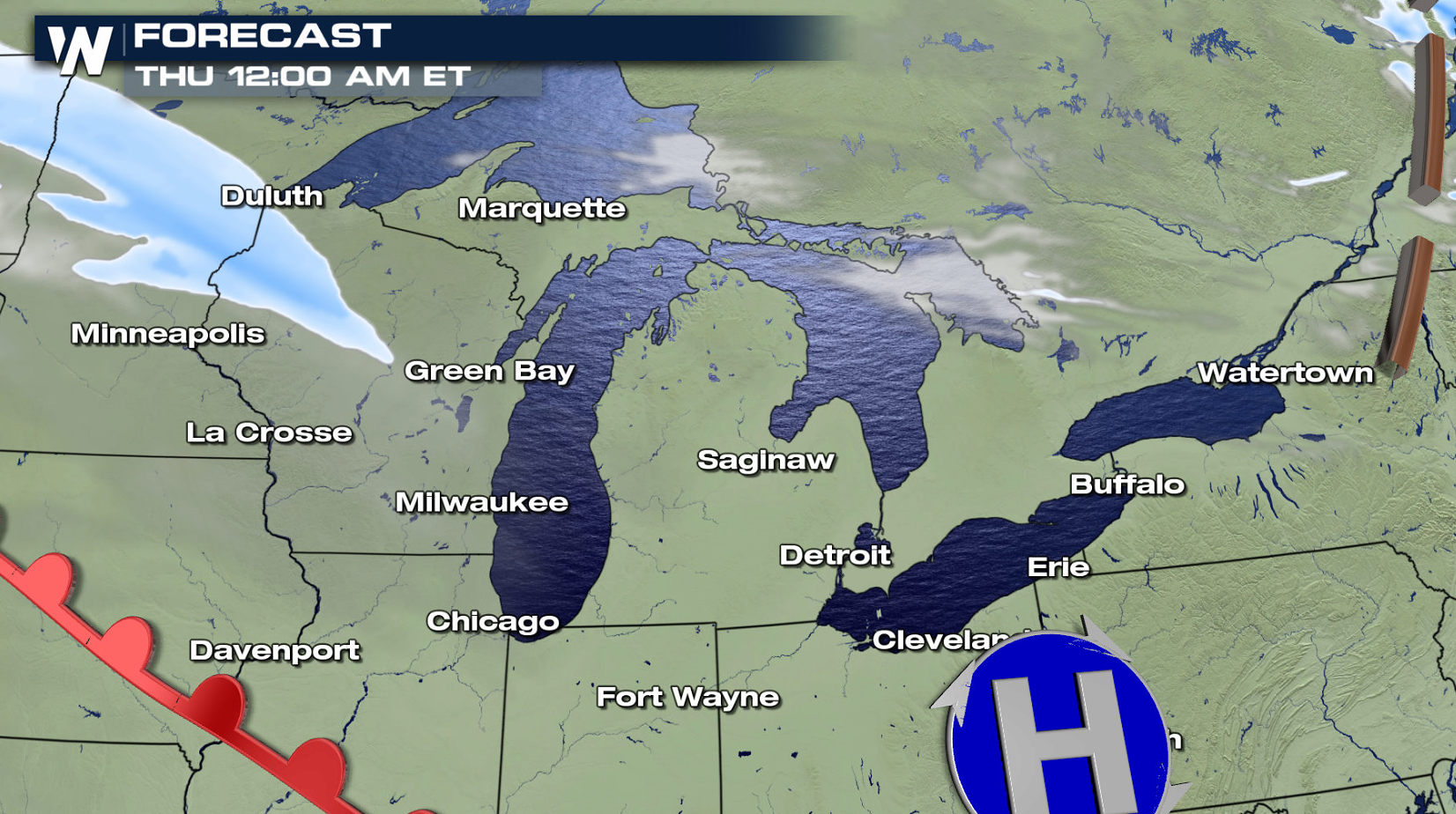
Arctic air has been dropping southward behind a cold front, now in the Northeast. A trough will move across the Great Lakes today (Wednesday), enhancing lake effect bands. Lake effect snows will diminish as another system approaches from the west, warming temperatures and changing wind directions.
By this evening (Wednesday), many areas will see at least 6" of lake effect snow. The bands are not expected to be widespread, but they will be heavy and intense at times.
https://twitter.com/NWSBUFFALO/status/1204691610921062401
https://twitter.com/NWSGaylord/status/1204779113191329793
Arctic air has been dropping southward behind a cold front, now in the Northeast. A trough will move across the Great Lakes today (Wednesday), enhancing lake effect bands. Lake effect snows will diminish as another system approaches from the west, warming temperatures and changing wind directions.
All Weather News
More
High Flood Risk - Remnants of Tropical Storm Arthur Head East
The National Hurricane Center has been tracki
18 Jun 2026 7:50 PM

Tornadoes Tear Through The Midwest, Threat Heads to the East Coast
MONTROSE, IL - A dangerous tornado tore throu
18 Jun 2026 7:40 PM

Severe Storms, Flash Flooding Threat Returns Across Plains and Midwest This Weekend
Another threat of severe weather is expe
18 Jun 2026 7:05 PM

Heat Alerts & Fire Concerns For Central & West U.S.
A ridge of high pressure continues to dominat
18 Jun 2026 9:30 AM

Welcome To Monsoon Season - Here's What to Expect
WELCOME TO THE NORTH AMERICAN MONSOON SEASON.
17 Jun 2026 5:00 PM

El Niño Forms, Very Strong El Niño Likely Late 2026
El Niño has arrived! It didn't take long for
15 Jun 2026 8:00 AM

Confirmed Tornadoes in Ohio and Pennsylvania on Sunday
A cold front on Sunday brought severe weather
15 Jun 2026 1:50 AM