Kona Low Brings Hazardous Weather to Hawaii

While known for its fair weather, sunny skies, and beaches, even Hawaii isn't exempt from Mother Nature turning the tides. A Kona Low, which is a system of low pressure that flips the traditional wind pattern over Hawaii, has caused widespread rain and even heavy mountain snow over the last few days.
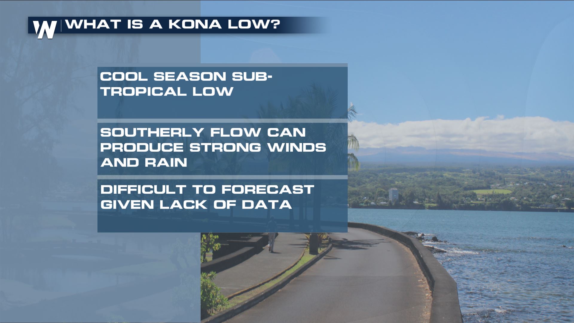
Kona Low?
Similar to a sub-tropical storm in the Gulf or Atlantic, Kona Low's are responsible for bringing heavy rain to Hawaii on an annual basis. They usually occur in the winter months, and often pose a flood/winter storm threat to the island.
Flood Threat
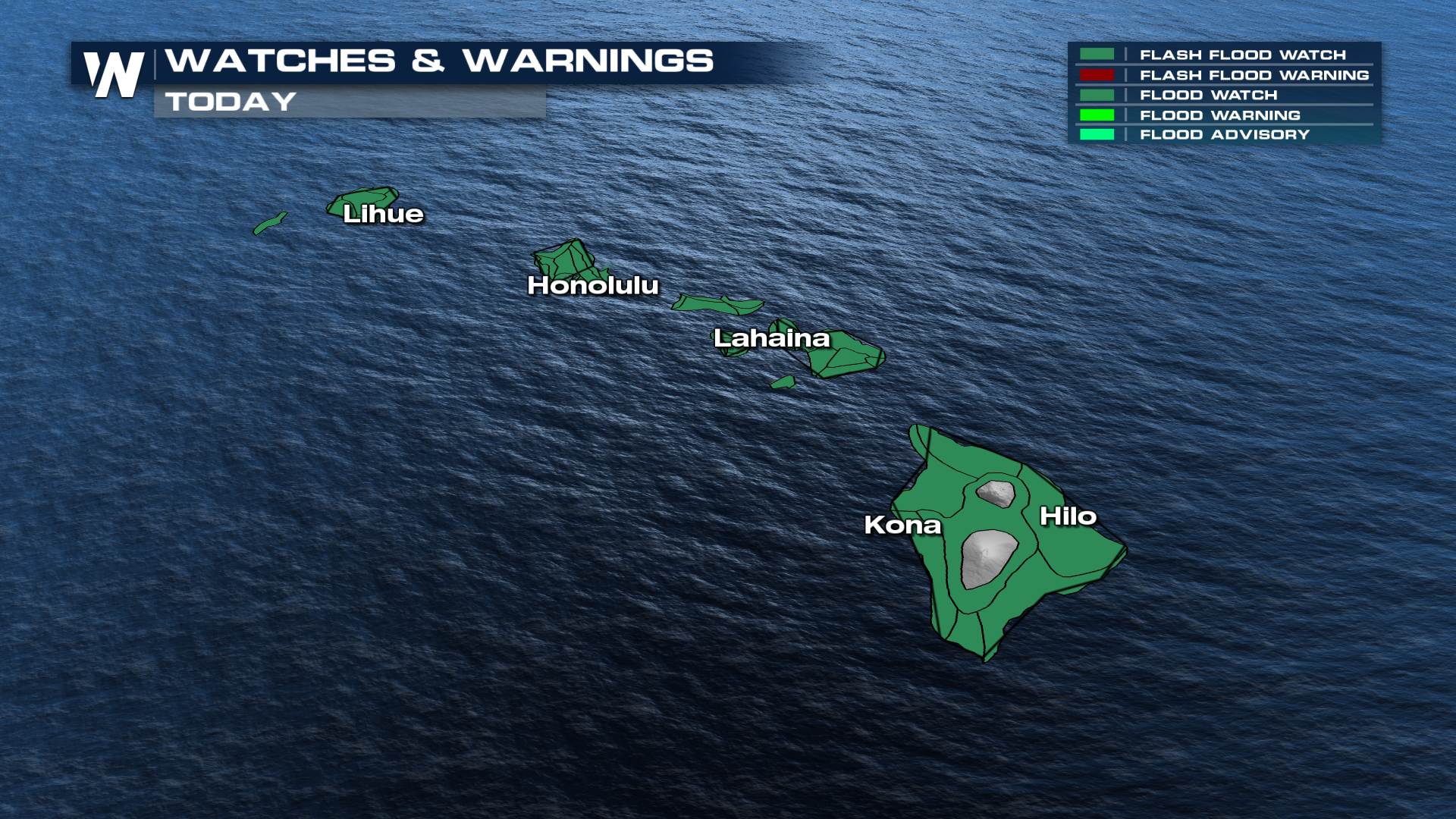
With an excess of rainfall in the forecast, widespread flood watches have been issued for essentially all of the Hawaiian islands. This is due to the elevated runoff, making low-lying areas at more of a risk for flooding. These outlooks will extend through Monday.
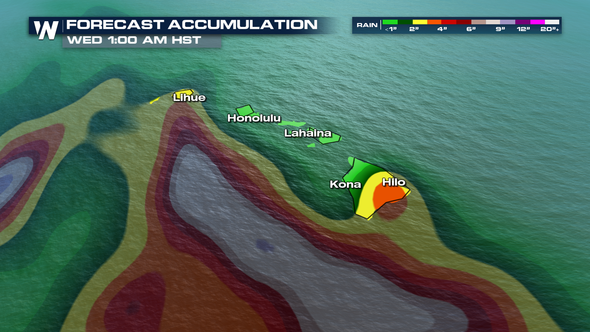
If we're looking at numbers, the majority of the rainfall will likely stay on Hawaii's Big Island. Some of these totals can breach the 3" mark by the time we hit Wednesday. The other islands (Maui, Lanai, Molokai, Oahu, and Kauai), can expect anywhere from 1-2" by this point as well.
Snow & Wind
Taking all that moisture into the high elevations, you're bound to get some snow. In some cases, maybe too much of it. The two massive shield volcanoes (Mauna Loa and Mauna Kea), are under the threat for heavy snow and heavy icing. Any summit roadways likely to feel this threat the most.
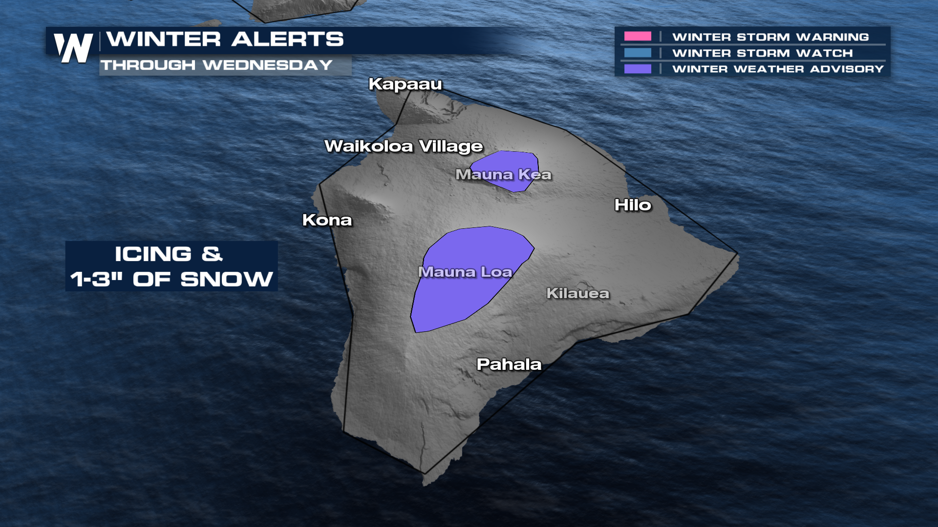
Gusty winds are also expected to kick up as this low pushes through. Honolulu potentially seeing gusts up to 35 mph by Tuesday! The National Weather Service (NWS) has even issued high wind warnings for the big island summits. Gusts up to 75 mph are expected!
Trouble on the Water
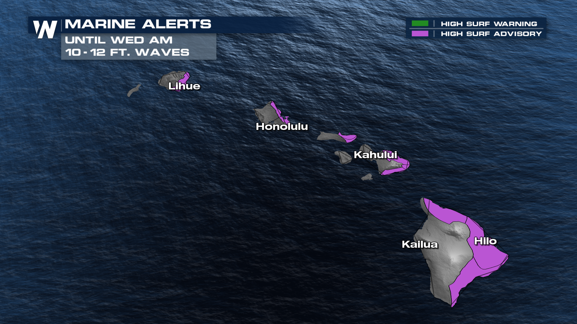
Wave heights will also be a concern for the traditional beach-goer. Some heights showing upwards of 13ft in Honolulu! Likely won't deter many surfers though. The NWS has issued widespread high surf advisories as a result.