Winter Storm Warnings Continue Across Central U.S.
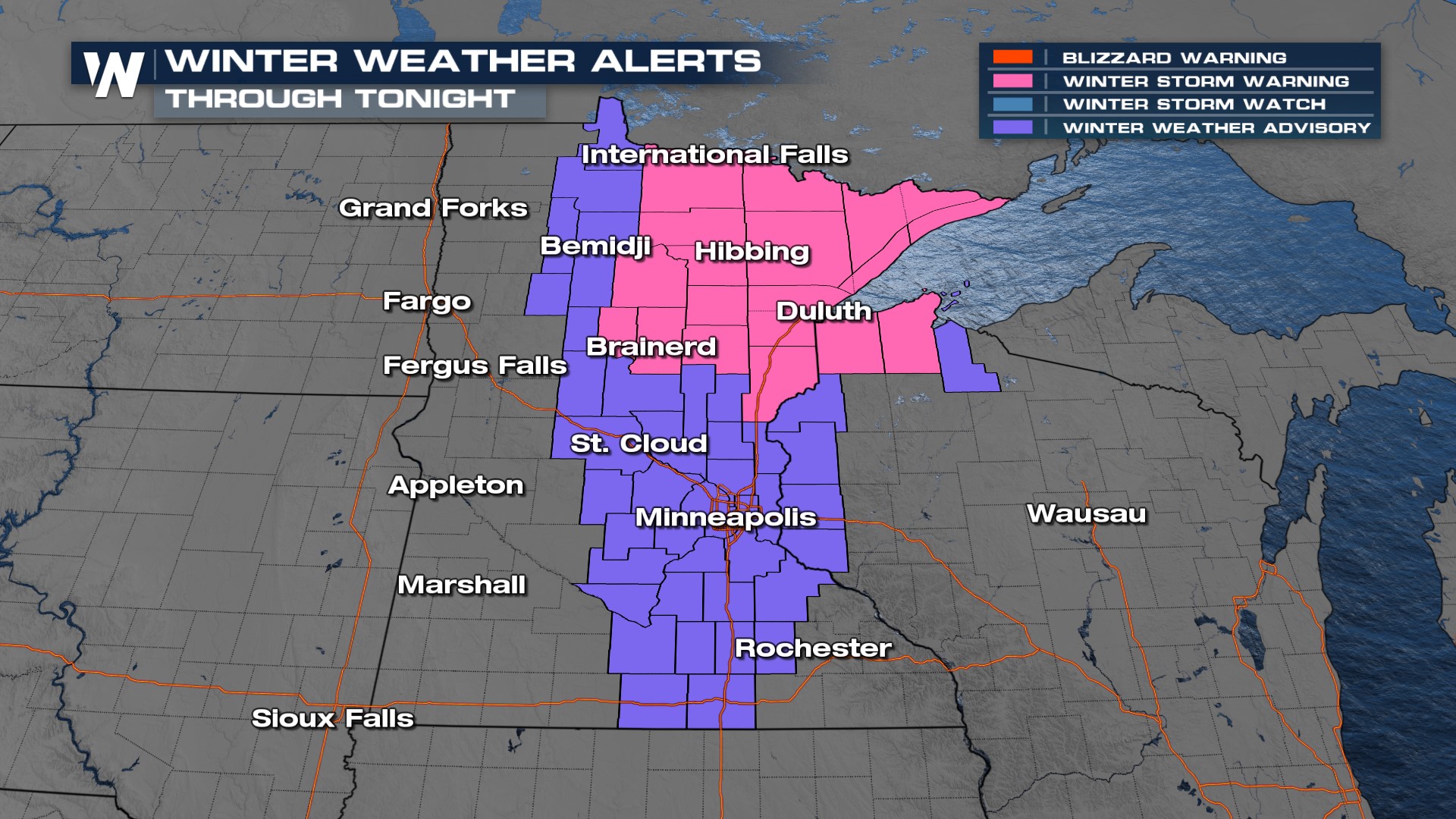
The powerful low-pressure system that dumped a whole lot of snow (see above), is continuing to linger around the Northern and Central Plains, keeping some winter alerts still active into this evening.

The winds on Monday were absolutely brutal in much of the Central U.S.! Places in Nebraska like Broken Bow and Hastings dealt with wind gusts reaching over 60 mph throughout the day on Monday. The good news is, those winds won't be nearly as strong on Tuesday, but it will still be enough to feel throughout the day.
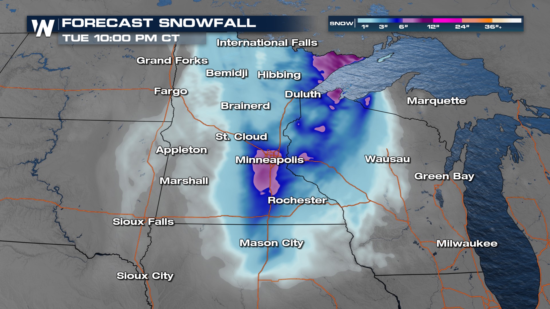
Many parts of Minnesota are waking up to a wintry mix before the full transition into snow is expected near lunchtime. Roads will be slick in many spots across, so please check your state's DOT website for up-to-date road conditions before driving. Light to moderate snow will linger into Minnesota and Wisconsin throughout much of the day. Around dinnertime, we'll finally see it taper off and more dry time will be on the horizon.
Additional snowfall has the chance of reaching up to another 4-6" in parts of Minnesota and northern Wisconsin, but this number won't be very common across the board. More places will see another 1-3" before this system moves into Canada.
