Severe Storms Threaten Southern Plains and Gulf Coast

The same system that moved through Southern California earlier this week--bringing the rain, mudslides, and debris flows--is on the move. The same upper-level low brought flooding from Texas through Arkansas on Thursday. The system is now moving through the Southeast with the threat for a few isolated severe storms.
SEVERE THREAT
Isolated severe storms are expected around the northeastern Gulf from Mobile to Tallahassee. Damaging winds are the primary hazard, potentially downing trees, but an islated tornado or waterspout cannot be ruled out.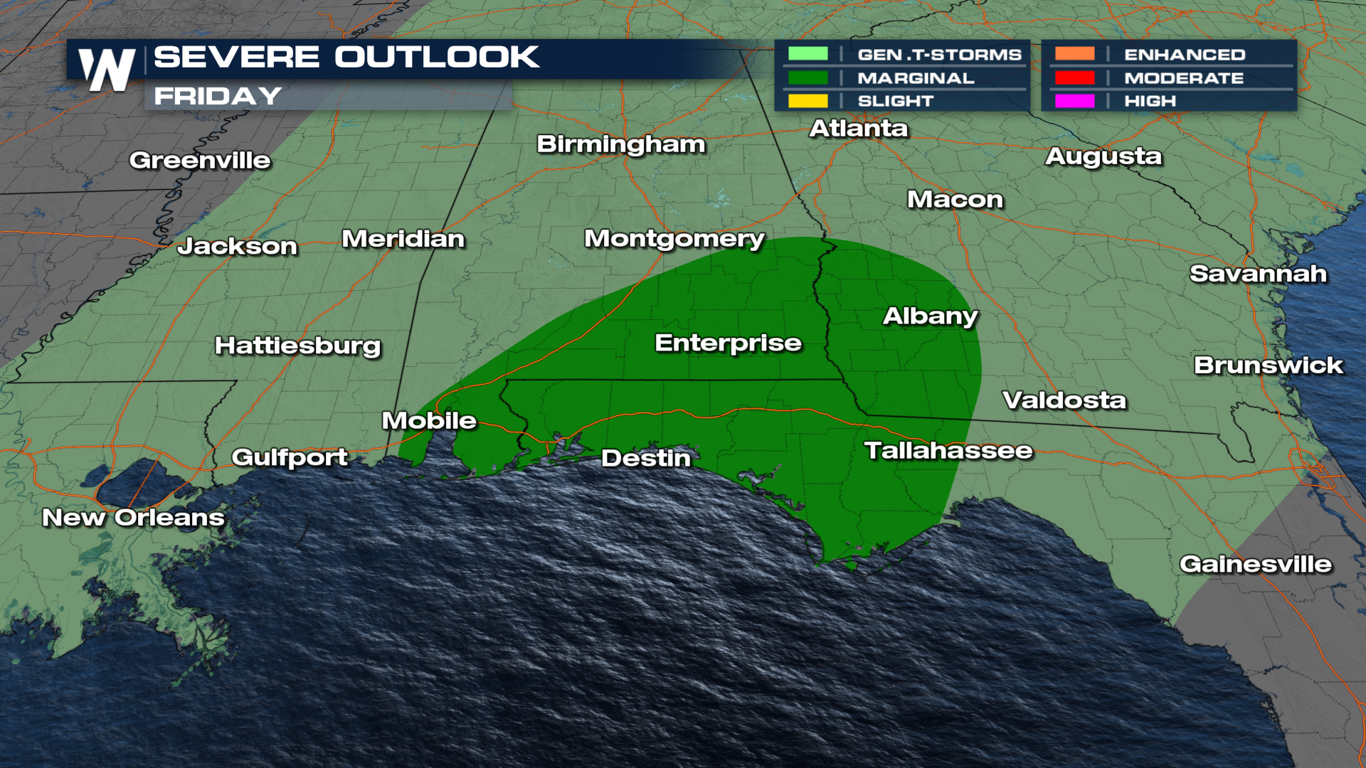 A few severe storms are possible through the morning, but the best chance for damaging storms is in the afternoon and early evening as the cold front taps into daytime warmth. The severe threat is likely to end late Friday evening as the front moves offshore.
FLOODING
The threat for flash flooding threat has dropped, but nuisance flooding is still likely in areas that see thunderstorms. Rain totals on the higher end could top 1-3".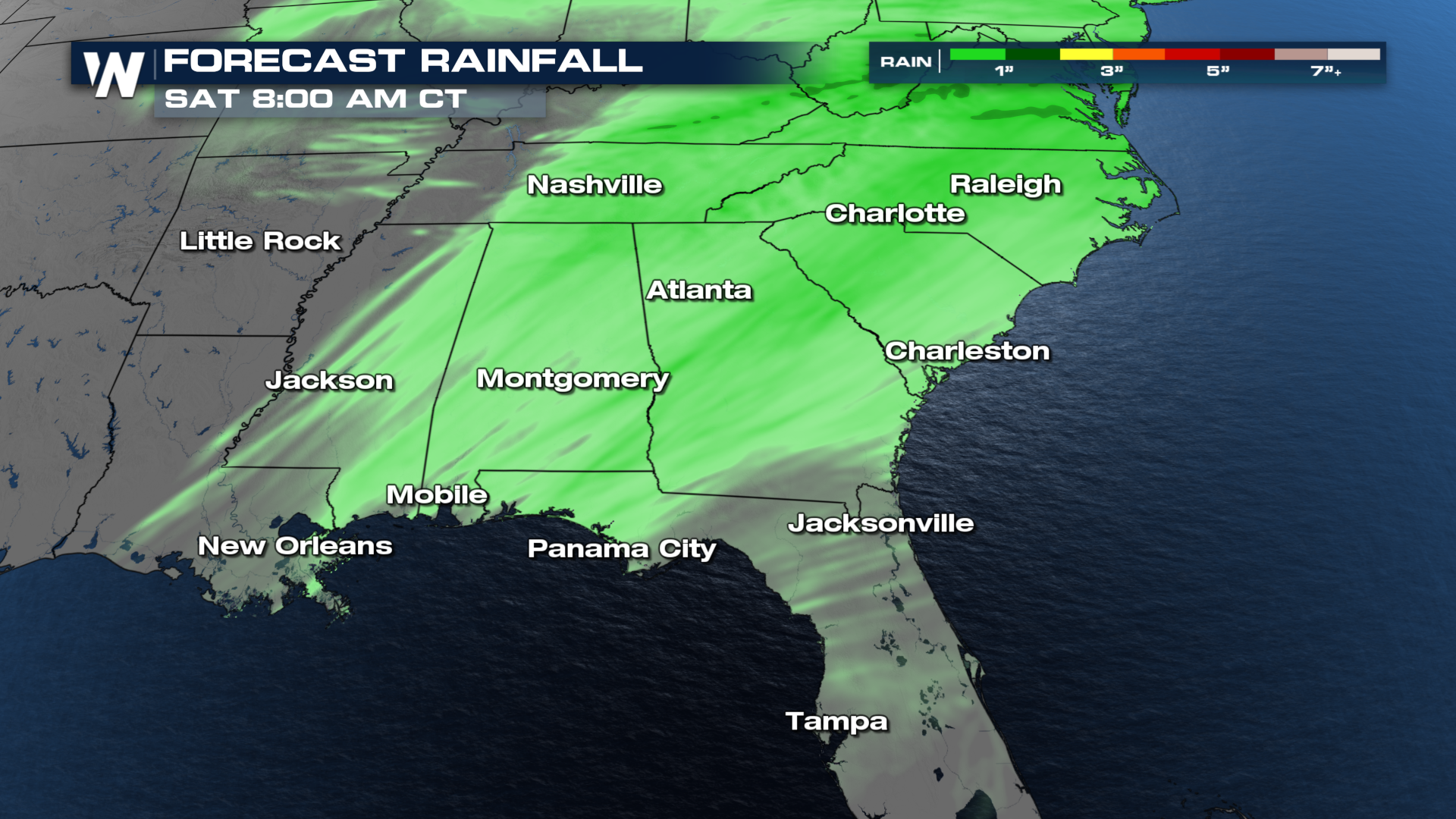 Radar updates tracking this system will be featured in our top weather headlines (00,20,40 past the hour) or you can get the latest Eastern Regional forecast at 10 past the hour, or on-demand in the WeatherNation app.


