Isolated Severe Storms Overnight in the Southeast
A front lingering around the I-95 corridor will help keep storms around overnight, including an isolated severe weather threat (above). Most storms will be sub-severe, but a few could cross the severe threshold with gusty wind, quarter size or larger hail, or a brief tornado.
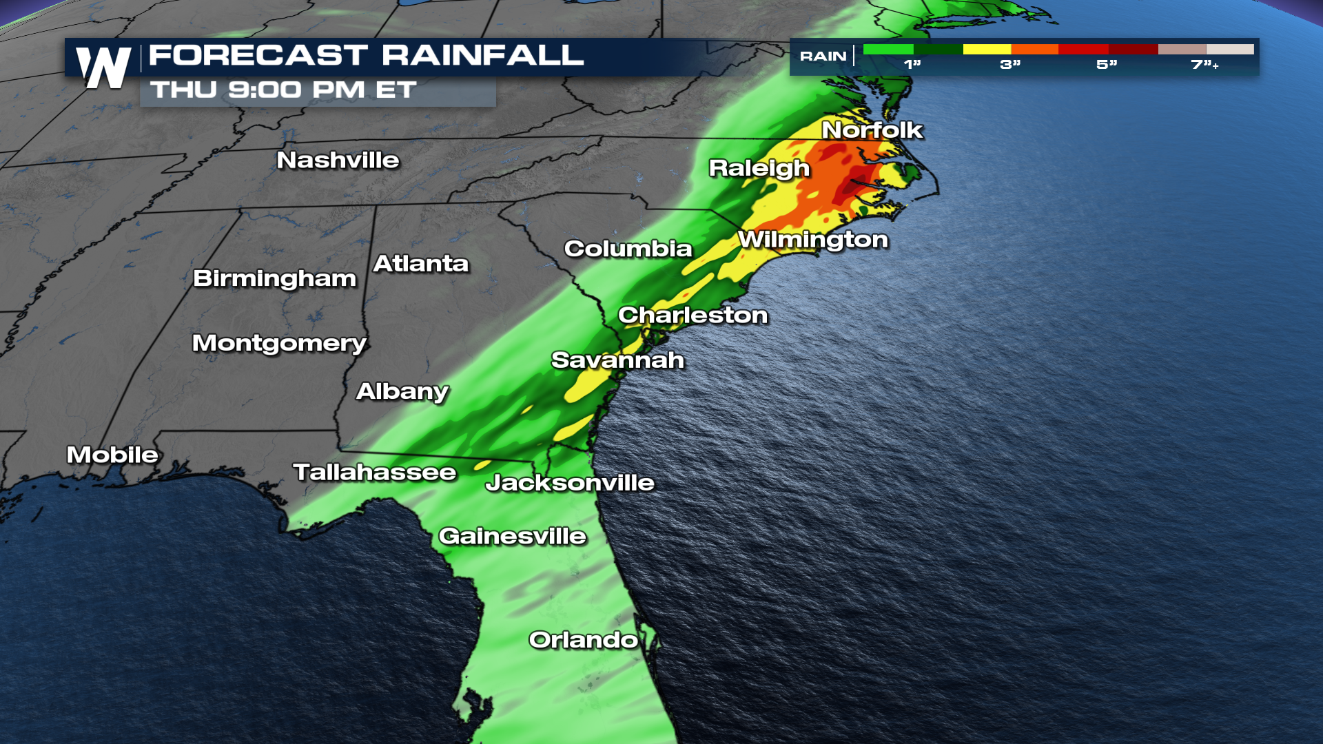
Heavy rain could also cause flooding in areas around I-95 and eastern North Carolina, where another 2-4" of rain is possible. Rain and storms will make for a messy morning commute, but should be offshore for most by early Thursday afternoon.
Widespread rain totals will be 1-3" but our Baron model is painting an area of eastern North Carolina getting 3-5" of additional rain through Thursday. This would be enough to cause ponding on the roads and flash flooding.

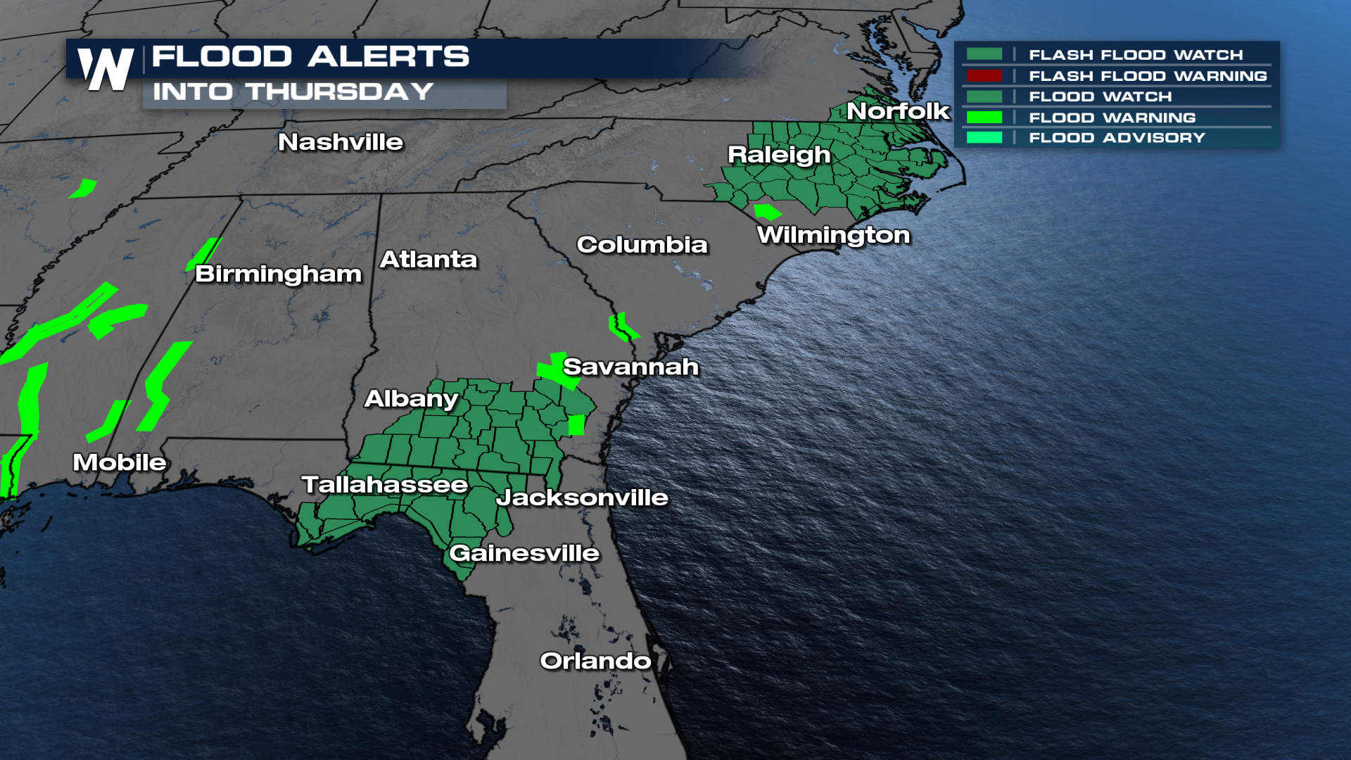
A flood watch is in effect for the Florida panhandle through southern Georgia, and up towards the North Carolina coast to account for the heavy rain threat. Excessive rain could lead to widespread 2-4" of rain with localized 5+" possible. These flood alerts remain in place through Thursday.
