March Outlook Issued from the Climate Prediction Center
Special Stories
16 Feb 2018 9:14 AM
[Snow on the flowers by joka2000, from CC BY 2.0]
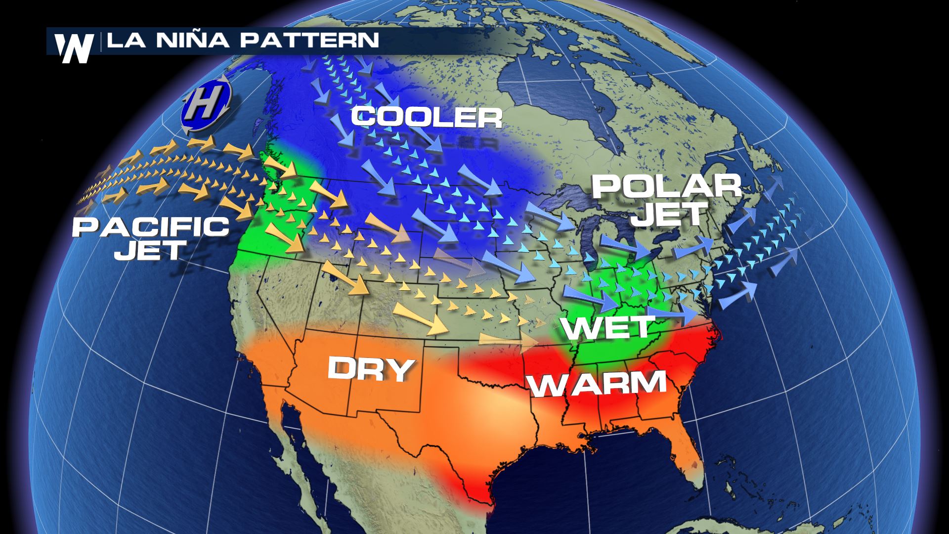
With La Nina in full progress, the forecast for the upcoming month has a similar trend seen previously this winter in outlooks from the Climate Prediction Center. Below average temperatures are in the forecast for March from the Upper Midwest to the Pacific Northwest, with warmer than normal readings in the Southwest. Florida and the Northeast are expected to see above average temperatures as well.
The precipitation forecast has drier than normal weather for areas along the Mexican border and in Florida. Wetter than normal weather is expected in the northern Rockies and Tennessee Valley.
https://twitter.com/NWSCPC/status/964136140176613377
La Nina conditions continue to be observed in the Pacific Ocean and atmospheric trends reflect the observations. The CPC states that "model guidance initialized in early February seems to emphasize La Nina and long-term trends, a reasonable starting place for the March outlook." The Spring Forecast, also issued Thursday, noted that La Nina is likely to diminish over the coming months.
La Nina (translated from Spanish as “little girl”) is a natural ocean-atmospheric phenomenon marked by cooler-than-average sea surface temperatures in the central Pacific Ocean near the equator. It's the opposite of El Nino (“little boy”), which is when warmer than normal water temperatures are observed.
 For WeatherNation: Meteorologist Mace Michaels
 For WeatherNation: Meteorologist Mace Michaels
All Weather News
More