Merry-Go-Round Of Low Pressures Bring Precipitation
Top Stories
10 Jan 2022 5:30 PM
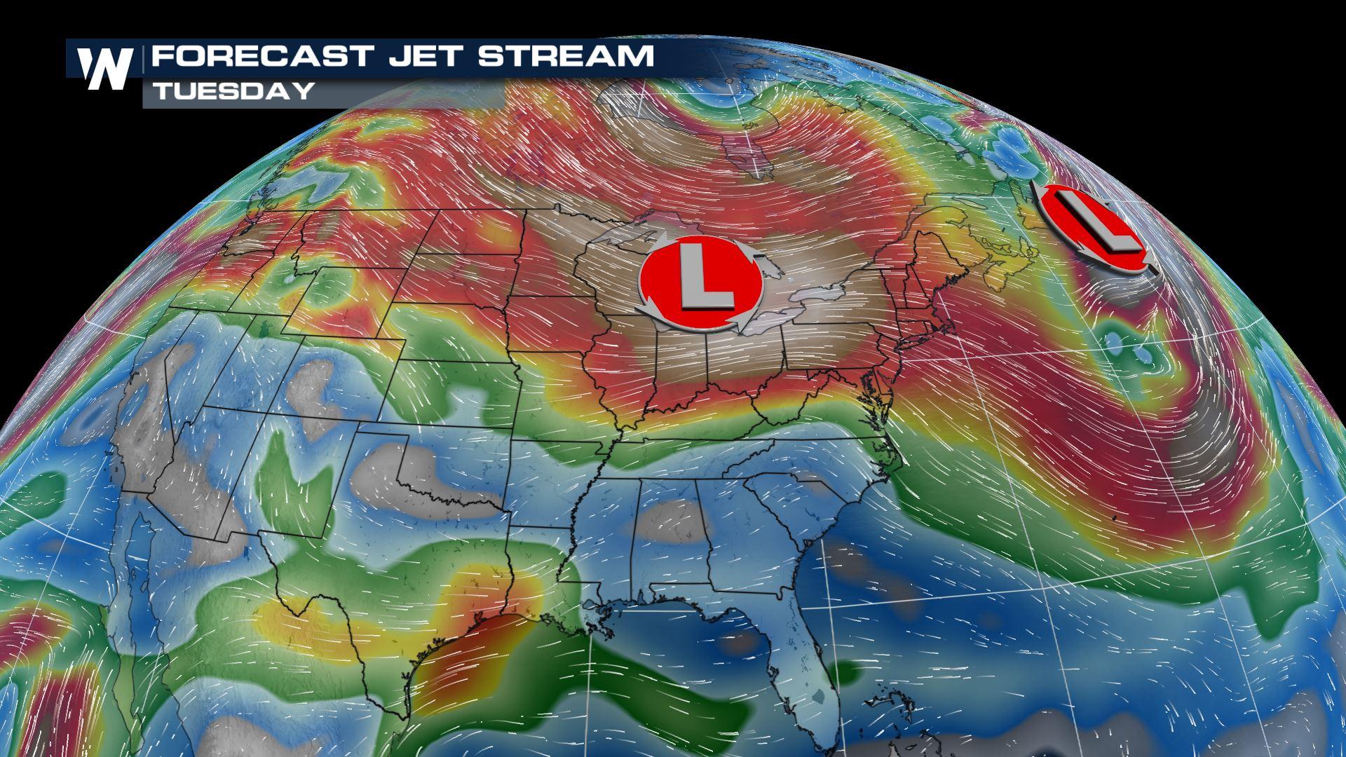
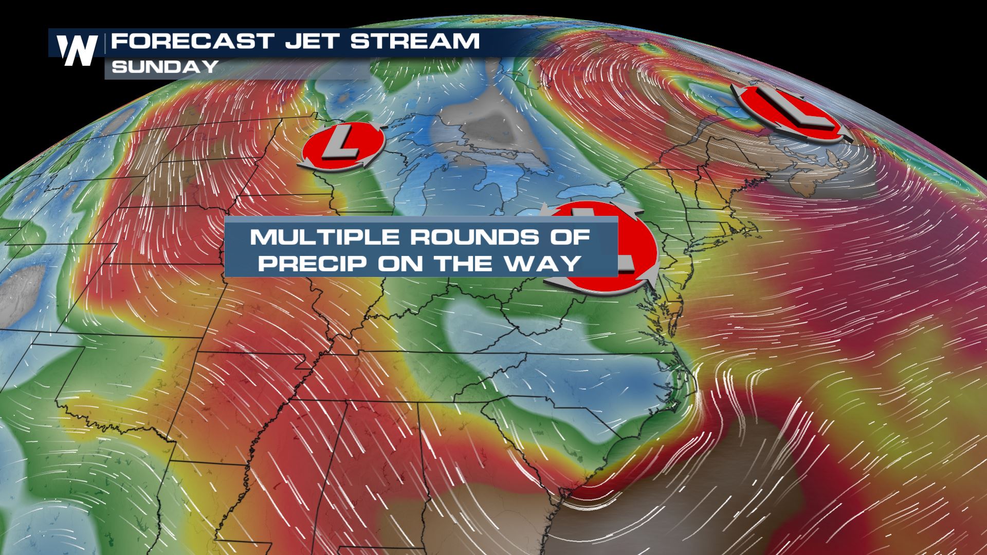
As we head into the rest of the work week, a merry-go-round of low pressure systems will bring in quick bursts of snow from the High Plains to the Midwest to the Northeast.
 By Thursday morning, New England is looking ahead to some light to moderate snowfall.
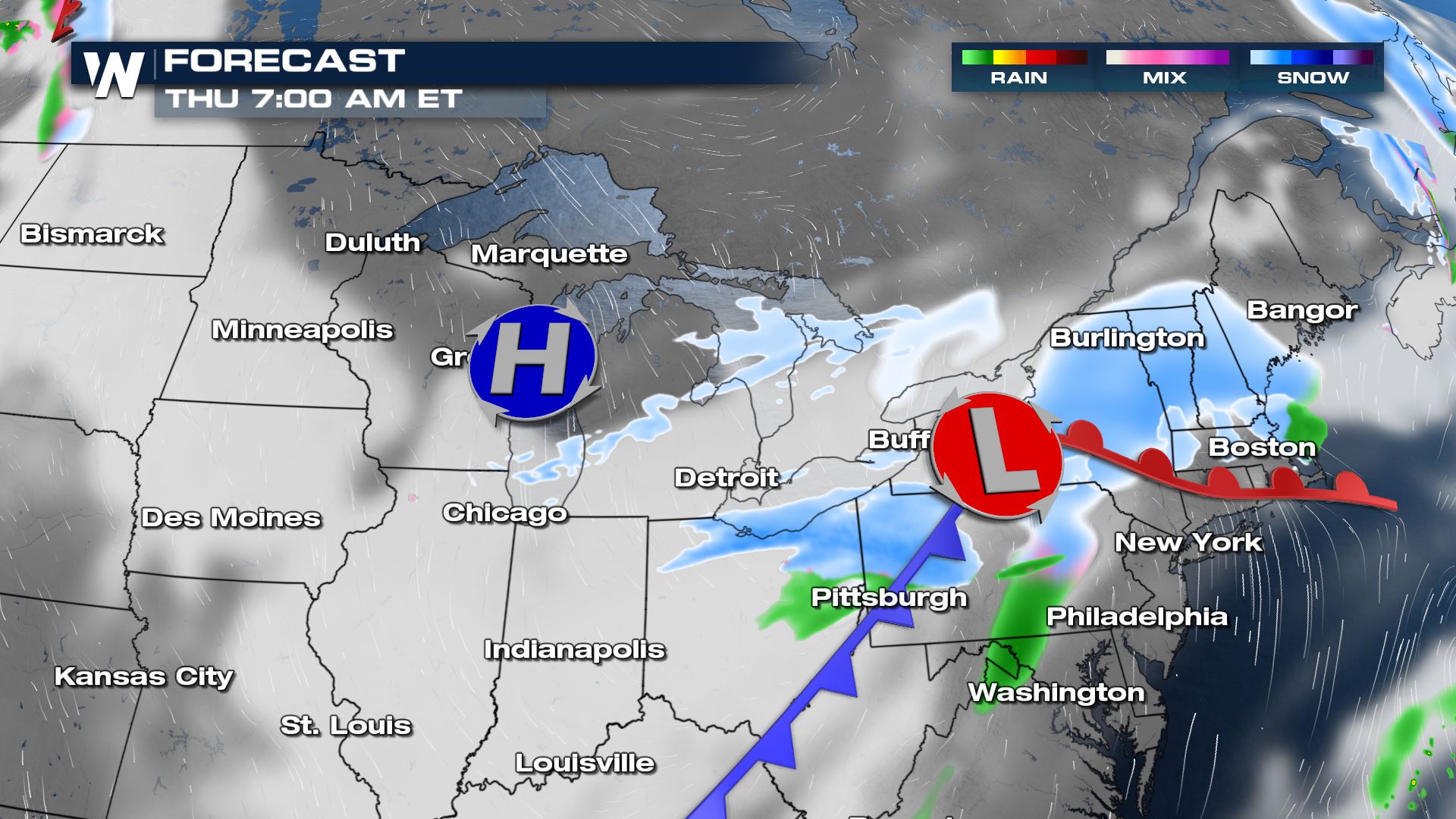
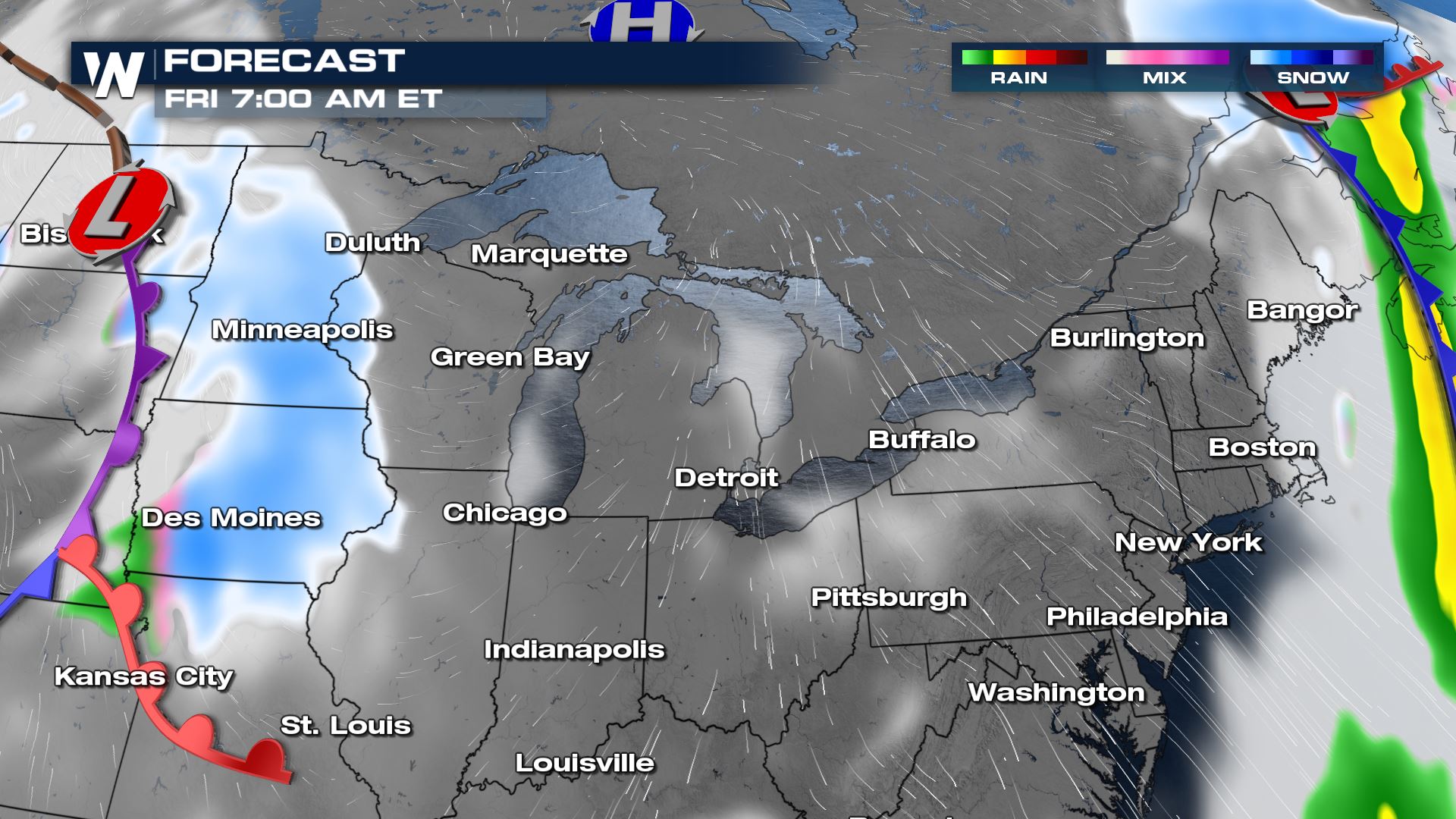
 By Friday morning, another round of snowfall moves into Minneapolis to Des Moines.
Tune in to WeatherNation throughout the hour for more updates!
Forecast Timing
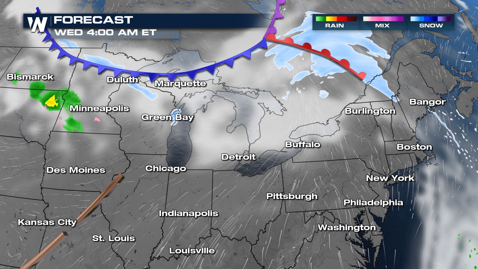
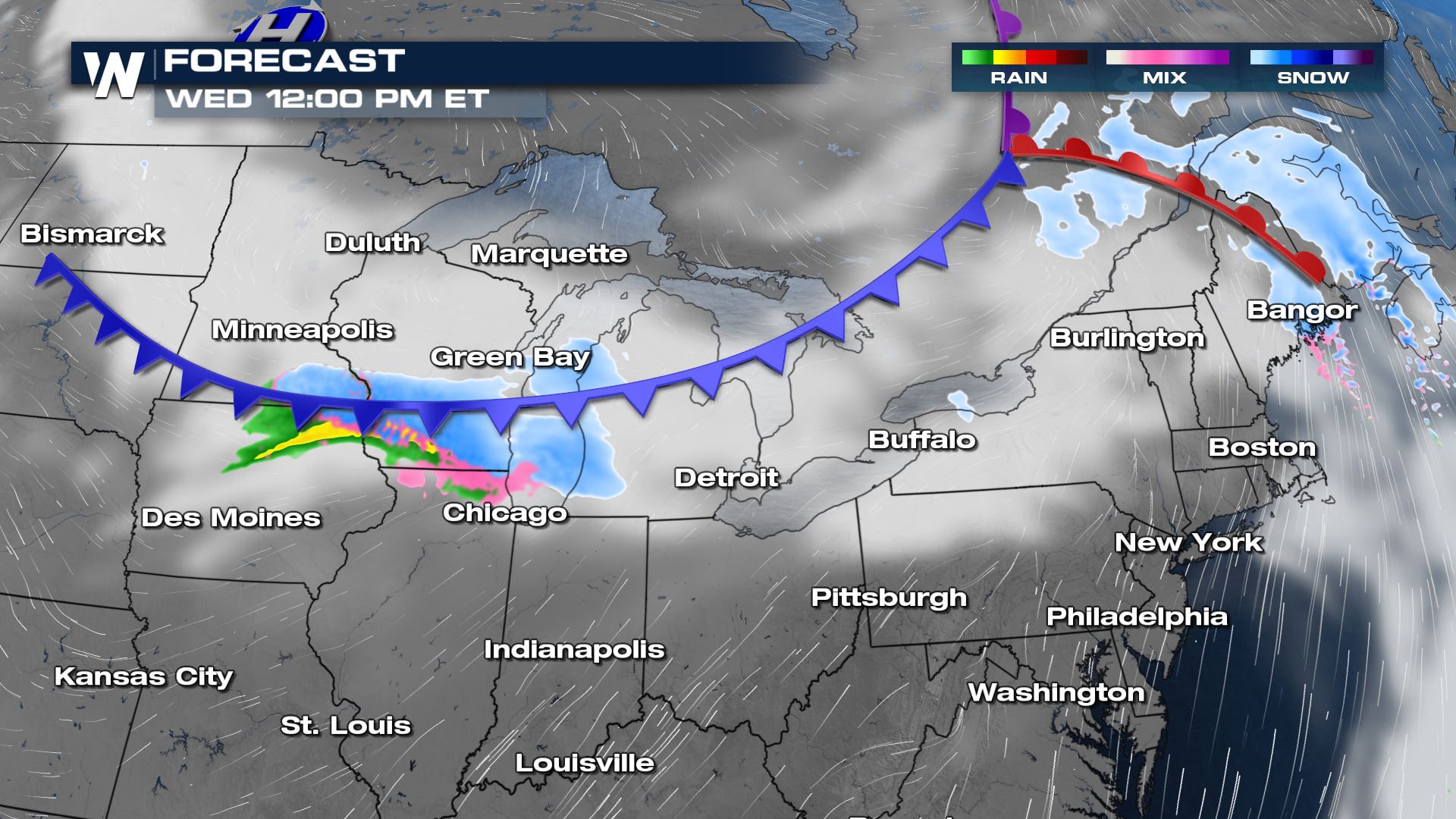
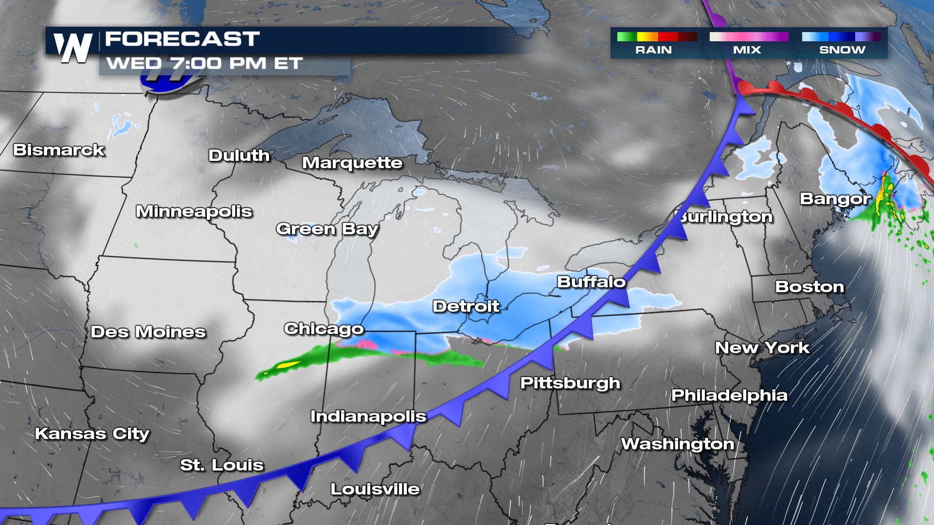
This first round is not set to bring heavy precipitation. A frontal boundary moves in by Wednesday for the north central region brining areas of rain and snow accumulation.
By Thursday morning, New England is looking ahead to some light to moderate snowfall.
By Friday morning, another round of snowfall moves into Minneapolis to Des Moines.
Forecast Accumulation
The heaviest of the snowfall accumulating through Friday morning looks to be surrounding New England states. New York through Maine could see a few inches of accumulation.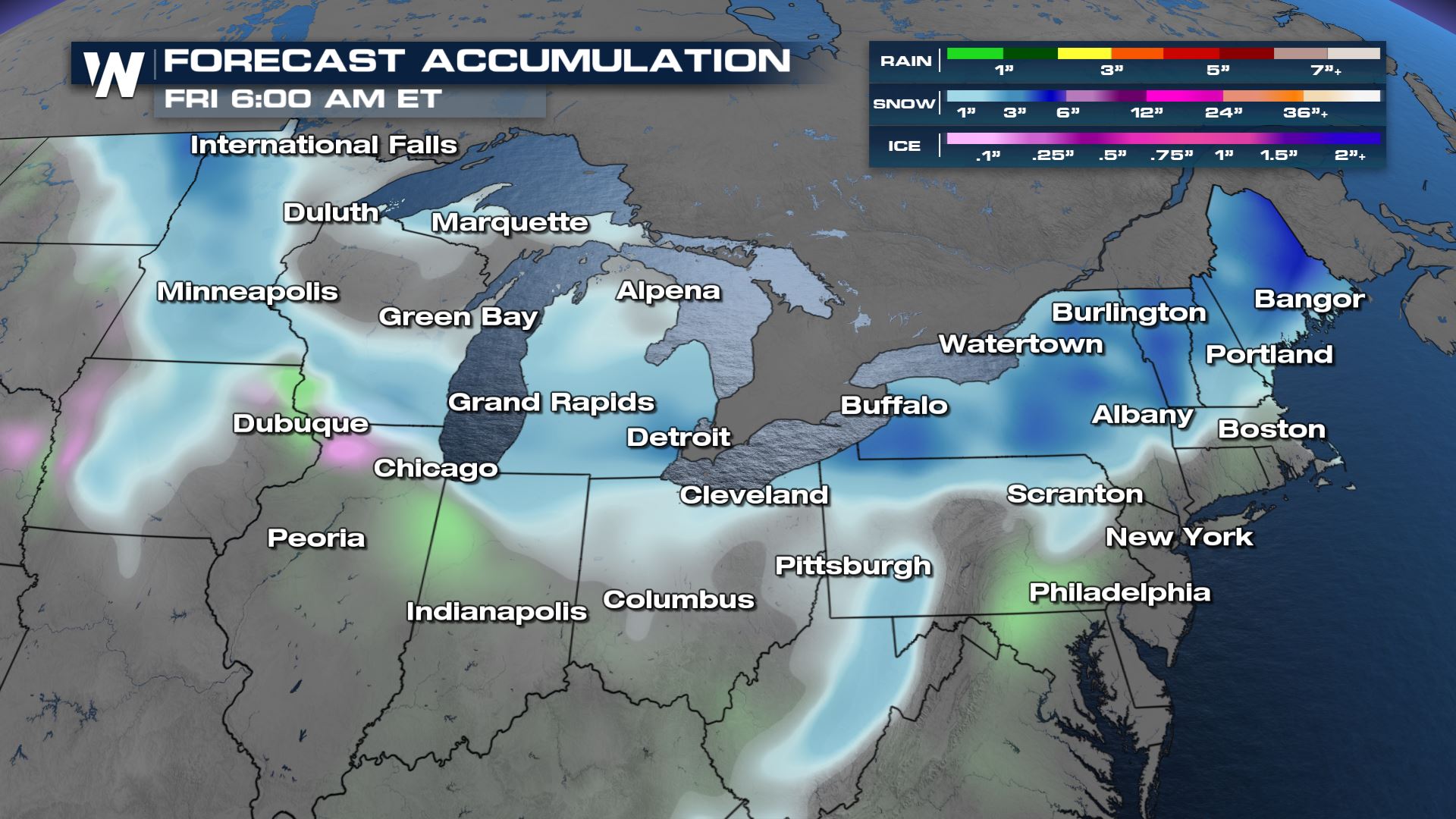
All Weather News
More
Fronts Continue To Spark Severe Weather Across the Plains
A cold front that brought record lows to the
18 Jul 2025 10:40 PM

Extreme Heat Impacts for the East Coast & South
Extreme heat continues to impact several area
18 Jul 2025 10:05 PM

Flooding Threat Remains Elevated in the East
A cold front pushing through the Eastern Seab
18 Jul 2025 9:10 PM

EF-2 Firenado from the Deer Creek Fire in Utah
A fire tornado was spotted near La Sal, Utah
18 Jul 2025 7:30 AM

Tropical System Brings Flood Risk to the Central Gulf
Time has run out for notable tropical develop
18 Jul 2025 3:05 AM

Heavy Rain, Flooding Threat Returns to Florida
Keep the rain boots handy in Florida - heavy
13 Jul 2025 12:50 PM

Severe Storm Risk Pushes into the Great Lakes, Ohio Valley
Friday was another busy day with severe weath
12 Jul 2025 8:00 PM