Stormy and Wet Weather Continues for the Northeast

Top Stories
14 May 2026 8:00 PM
A low-pressure system will linger in New England through the end of the week, bringing scattered showers and gusty winds at times.
THU - FRI
The surface low will linger in New England Thursday into Friday before moving offshore this weekend. Expect scattered showers and a few thunderstorms in New England Thursday, with some heavy rain at times in Maine, before lingering showers get lighter and become fewer on Friday.
Through Saturday morning, New England can expect to see a few inches of rain with some isolated totals over 4-5" in Southern Maine and New Hampshire.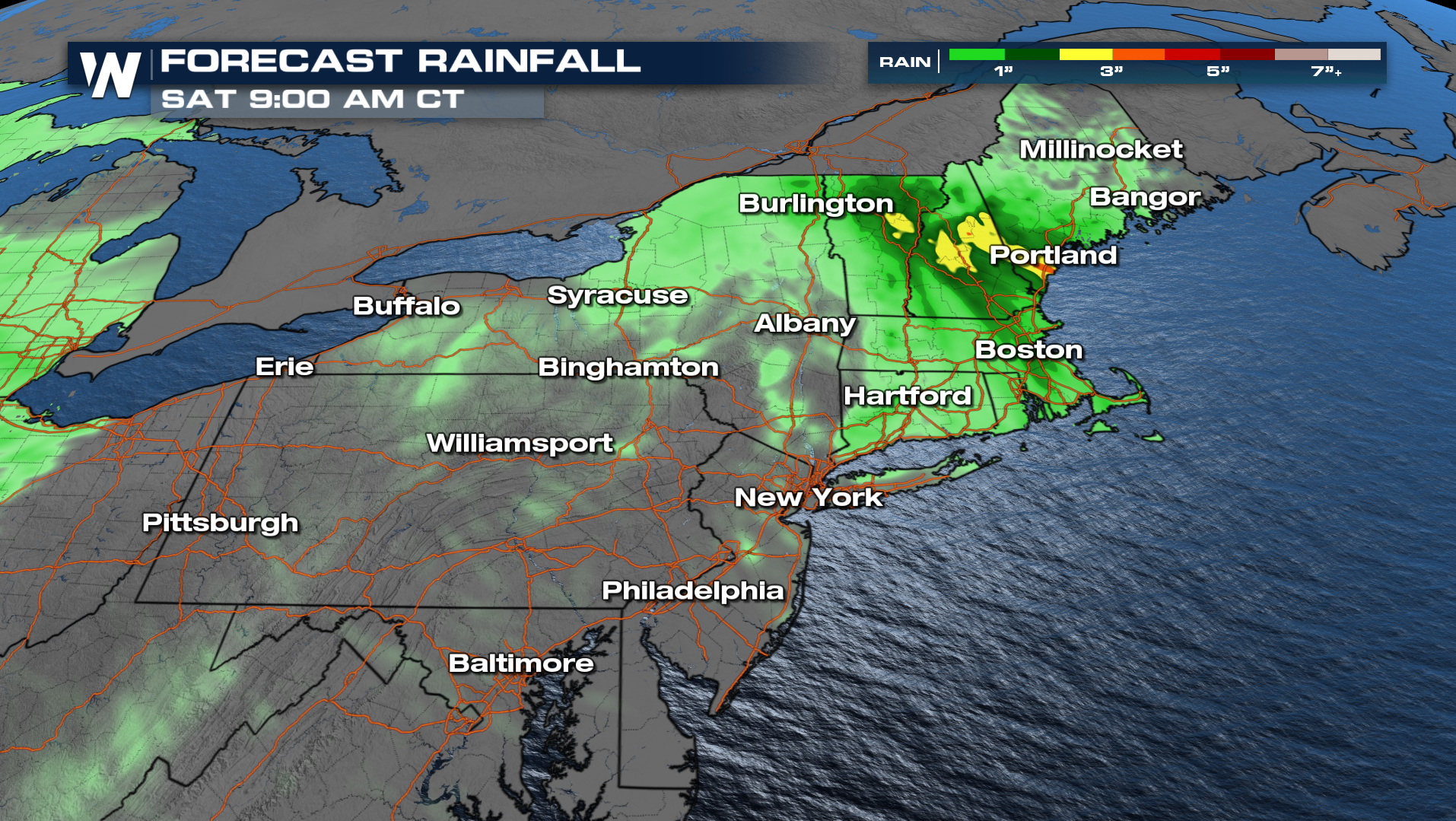
All Weather News
More
Dangerous Stretch of Heat Shaping Up This Week
The hottest temperatures of the year are loom
30 Jun 2026 2:00 AM

Massive Fires Burn in the Four Corners
Photo: Iron Fire getting doused with a retard
30 Jun 2026 1:50 AM

Slow-Moving Front Could Turn Tropical This Week
Early in the season, we watch closer to the c
30 Jun 2026 12:50 AM

Severe Storms Keep Northern U.S. Active
Monday morning, one storm brought significant
30 Jun 2026 12:45 AM

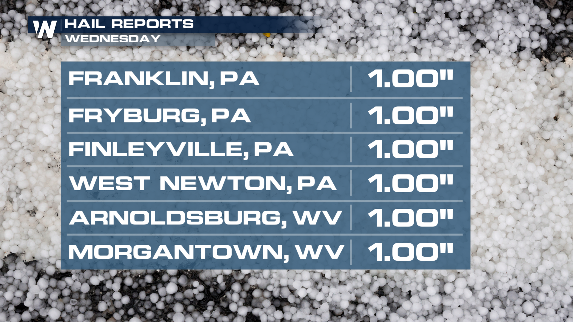
Storms Spark up in the Northeast Ahead of Heatwave
Severe storms will be possible Tuesday and We
29 Jun 2026 10:30 PM

'MCS' Season Brings Severe and Flooding Threats Across the Southeast
As Summer settles in across the Central U.S.,
28 Jun 2026 2:10 AM

Severe Threat Tracks into the Northeast Friday
Another day, another Illinois tornado. That's
26 Jun 2026 2:25 AM