Monday Severe Weather Outlook
Special Stories
29 Jul 2019 10:03 AM
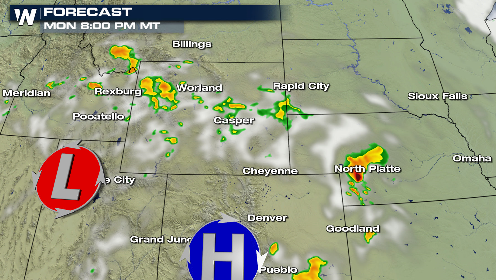
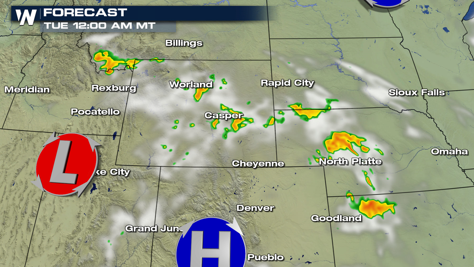
The threat for severe weather to start this week includes the Front Range, Arklatex, and Lower Mississippi Valley. There is a marginal risk for severe thunderstorms in Southern Idaho and from the Black Hills through the Front Range.
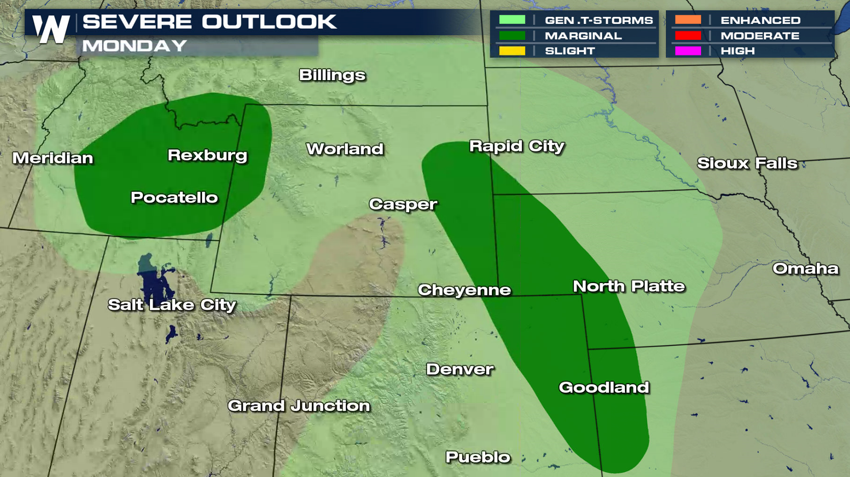
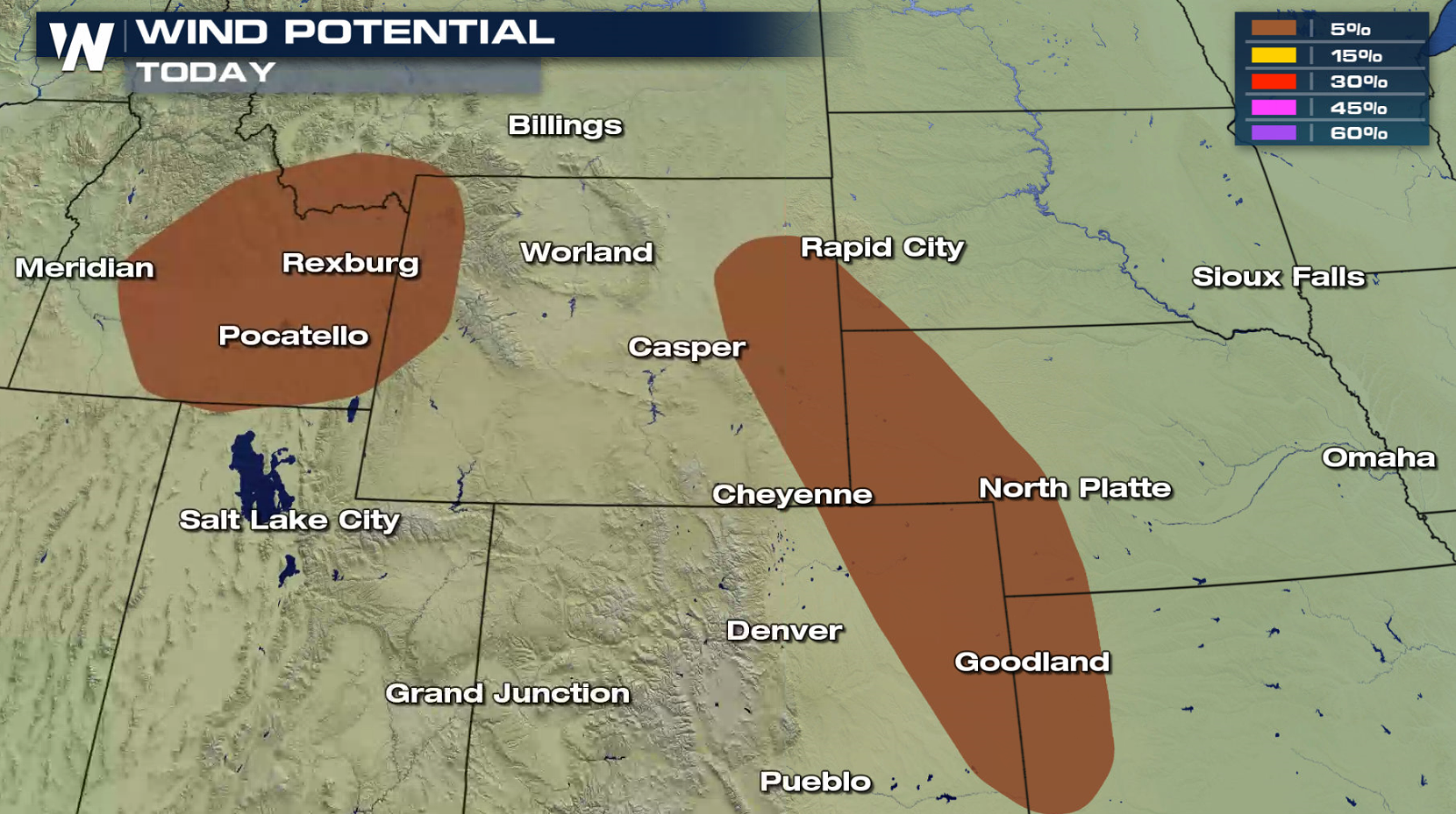
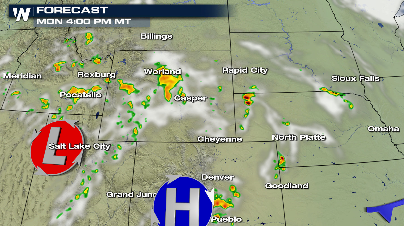
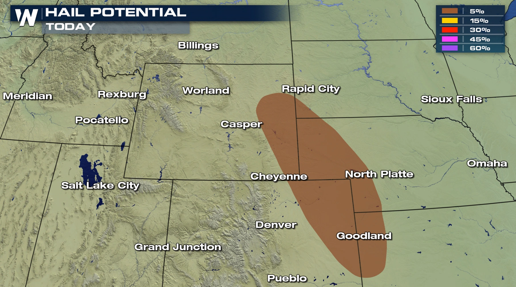 A few storms will develop during the midday and will become more numerous in the late afternoon and evening. As instability climbs with warming temperatures, a few storms will likely become severe.
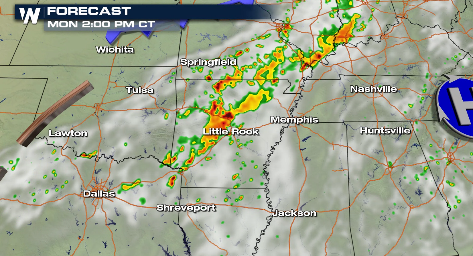
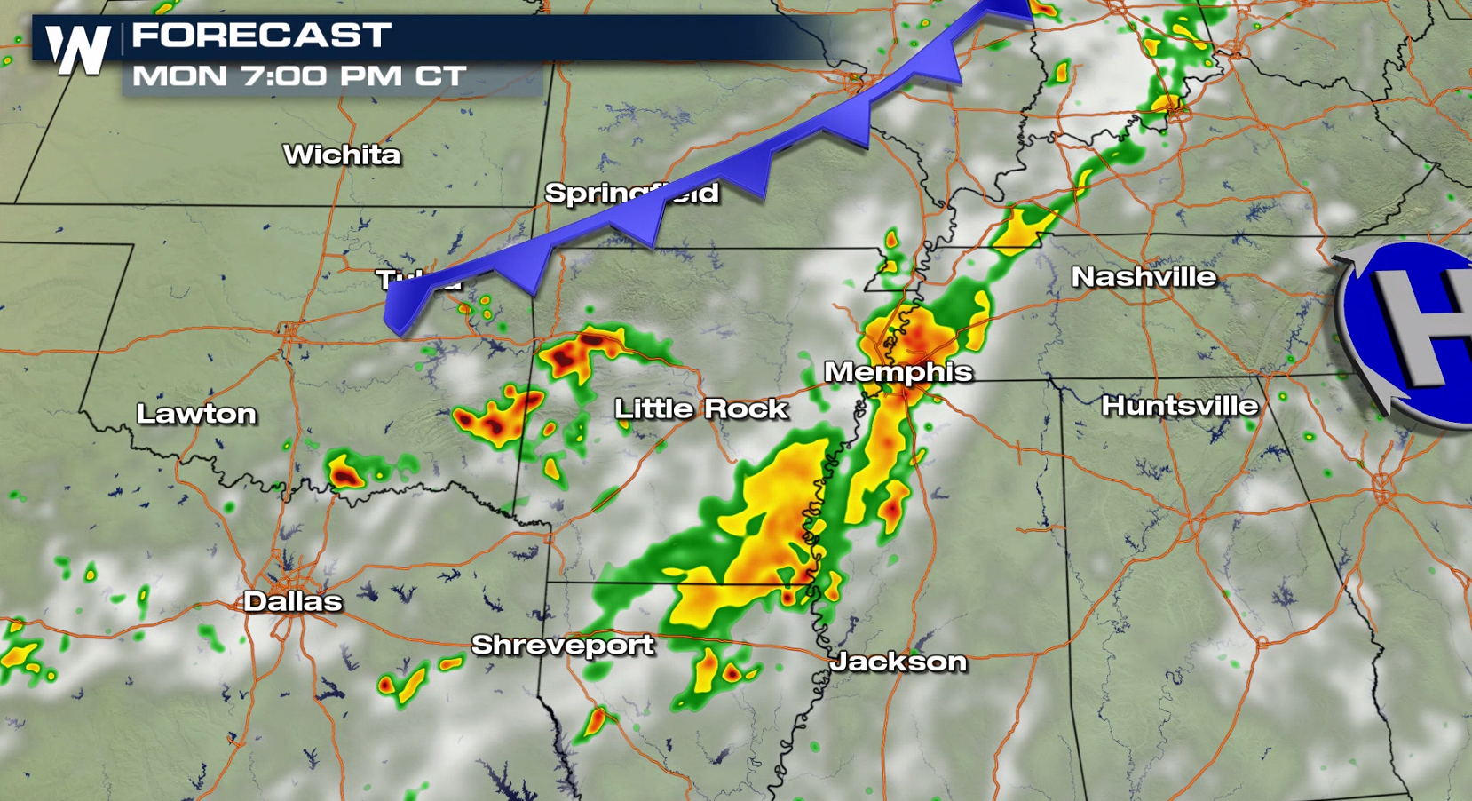
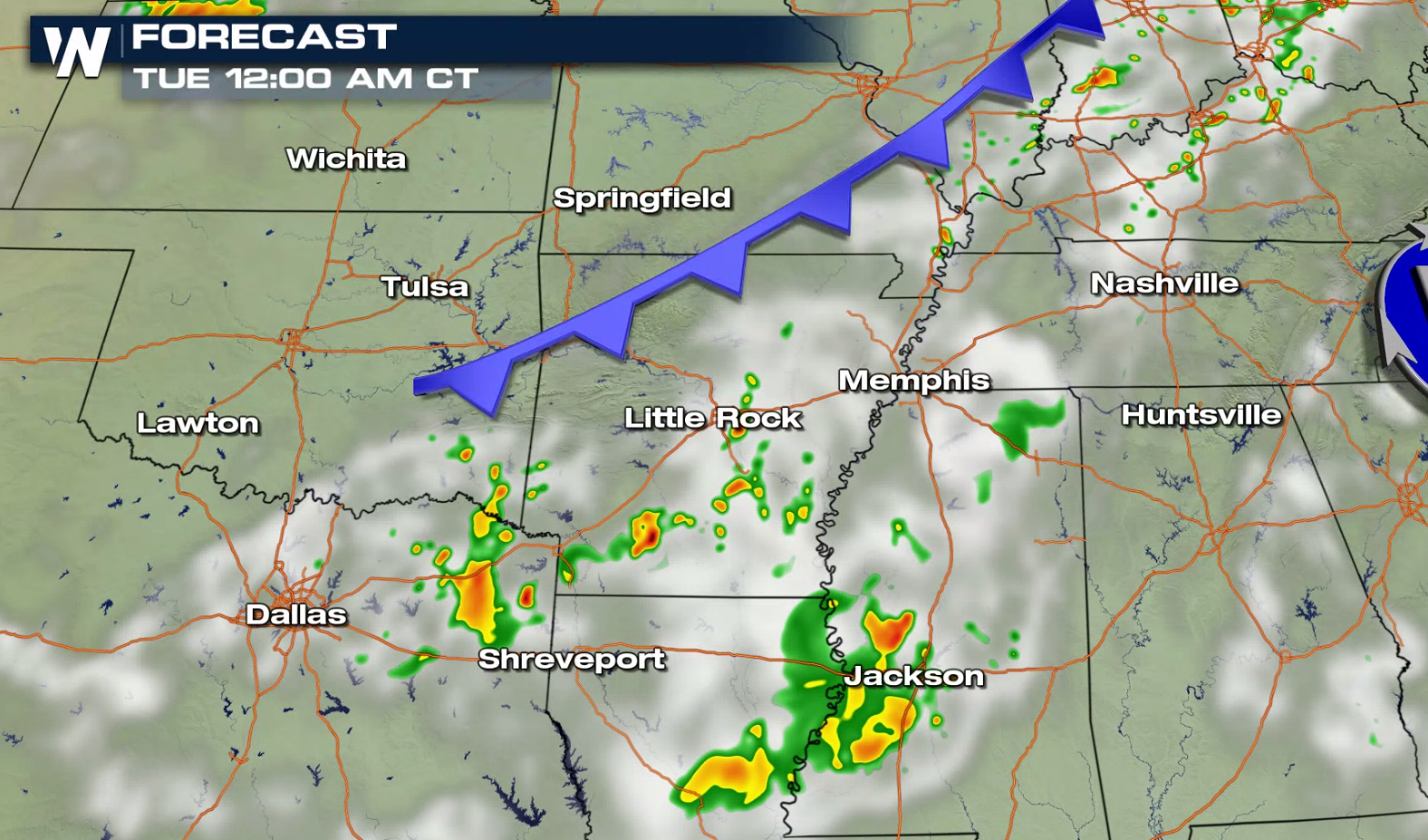
 Further south, the chance for severe thunderstorms includes the Arklatex region and Lower Mississippi Valley. Strong wind gusts are the biggest concern in this marginal risk area.
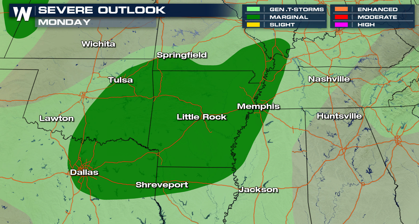
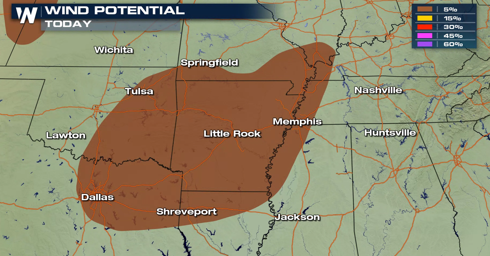 A cold front will push slowly southward, firing waves of showers and thunderstorms throughout the day. With heat and high humidity, strong storms are likely, especially in the late afternoon and evening. Instability will decrease late and storm intensity will diminish by the overnight.
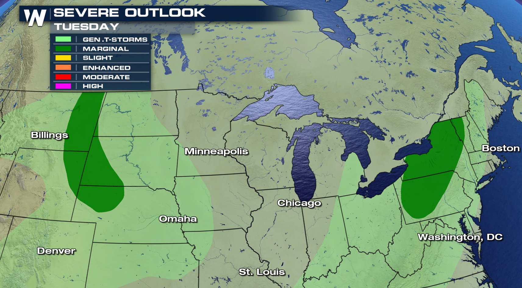
 On Tuesday, the High Plains and Northeast will have a chance for severe weather. The Storm Prediction Center has outlined both areas for a marginal severe weather threat.
 For WeatherNation: Meteorologist Mace Michaels


 A few storms will develop during the midday and will become more numerous in the late afternoon and evening. As instability climbs with warming temperatures, a few storms will likely become severe.


 Further south, the chance for severe thunderstorms includes the Arklatex region and Lower Mississippi Valley. Strong wind gusts are the biggest concern in this marginal risk area.

 A cold front will push slowly southward, firing waves of showers and thunderstorms throughout the day. With heat and high humidity, strong storms are likely, especially in the late afternoon and evening. Instability will decrease late and storm intensity will diminish by the overnight.


 On Tuesday, the High Plains and Northeast will have a chance for severe weather. The Storm Prediction Center has outlined both areas for a marginal severe weather threat.
 For WeatherNation: Meteorologist Mace Michaels
All Weather News
More